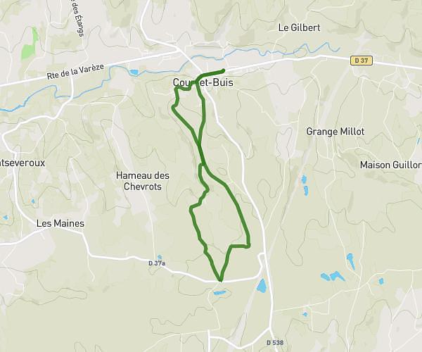
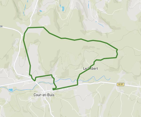
This running route covers 4.028mi starting from Chanas, Isère. The run is a loop trail and returns to the trailhead. This run is rated as easy, expect about 40m to complete it. The route has an elevation gain of 377ft and an elevation loss of 377ft.
Backyard n2
Route details
6.04mph
Speed
457 kcal
Calories burned
Loop trail
Route type
502ft
Min altitude
722ft
Max altitude
Route profile
377ft
Elevation gain
377ft
Elevation loss
502ft
Min altitude
722ft
Max altitude
How to get there
Trailhead: 10 Rue Du Marché, 38150 Chanas, France
GPS coordinates of the trailhead: 45.316954, 4.821034 / 45°19'1'' N, 4°49'15'' E