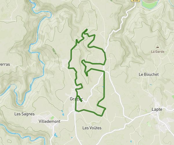
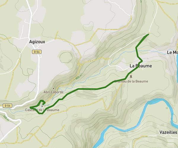
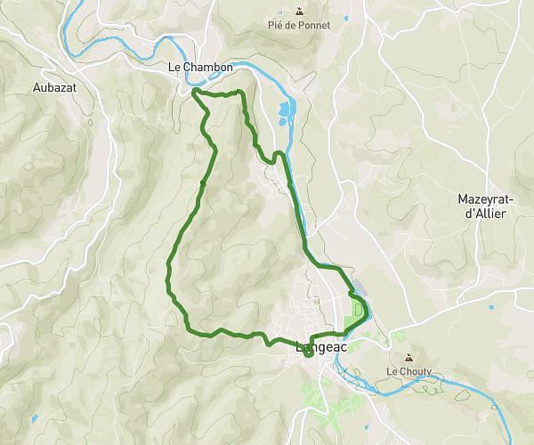
This hiking trail covers 5.43mi starting from Tence, Haute-Loire. The hike does not return to the trailhead and ends near 2 Chemin Des Fourches, 43290 Montfaucon-en-Velay, France. This hike is rated as moderate, plan for about 2h6m to complete it. The route has an elevation gain of 679ft and an elevation loss of 387ft.
Tence-Montfaucon
Route details
2.58mph
Speed
917 kcal
Calories burned
3.7%
Avg grade
Point to point
Route type
2703ft
Min altitude
2995ft
Max altitude
Route profile
679ft
Elevation gain
387ft
Elevation loss
2703ft
Min altitude
2995ft
Max altitude
How to get there
Trailhead: 285 Route De La Papeterie, 43190 Tence, France
GPS coordinates of the trailhead: 45.13209, 4.28456 / 45°7'55'' N, 4°17'4'' E