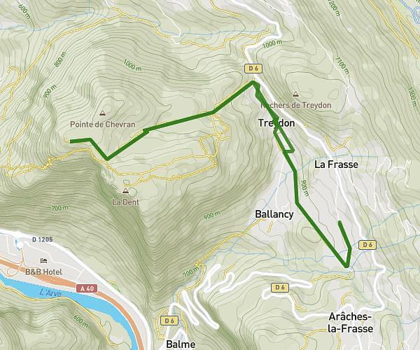
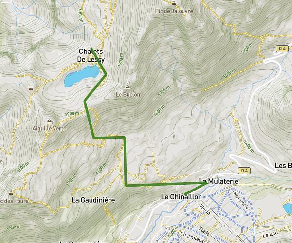
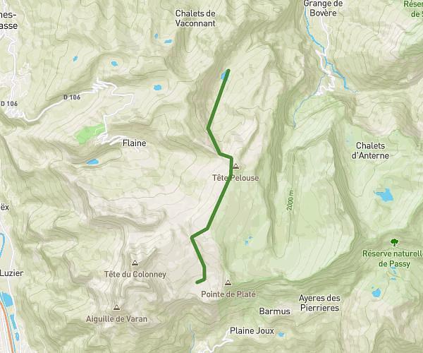
This hiking trail covers 6.646mi starting from Mieussy, Haute-Savoie. The hike is a loop trail and returns to the trailhead. This hike is rated as strenuous, plan for about 5h20m to complete it. The route has an elevation gain of 3576ft and an elevation loss of 3596ft.
Mieussy roche pallud puis roche pallud mieussy par grotte du jourdy
Route details
1.24mph
Speed
2628 kcal
Calories burned
20.4%
Avg grade
Loop trail
Route type
2441ft
Min altitude
4938ft
Max altitude
Steep climb
Route profile
3576ft
Elevation gain
3596ft
Elevation loss
2441ft
Min altitude
4938ft
Max altitude
How to get there
Trailhead: 124 Chemin De La Ferme Du Château, 74440 Mieussy, France
GPS coordinates of the trailhead: 46.14122, 6.52214 / 46°8'28'' N, 6°31'19'' E