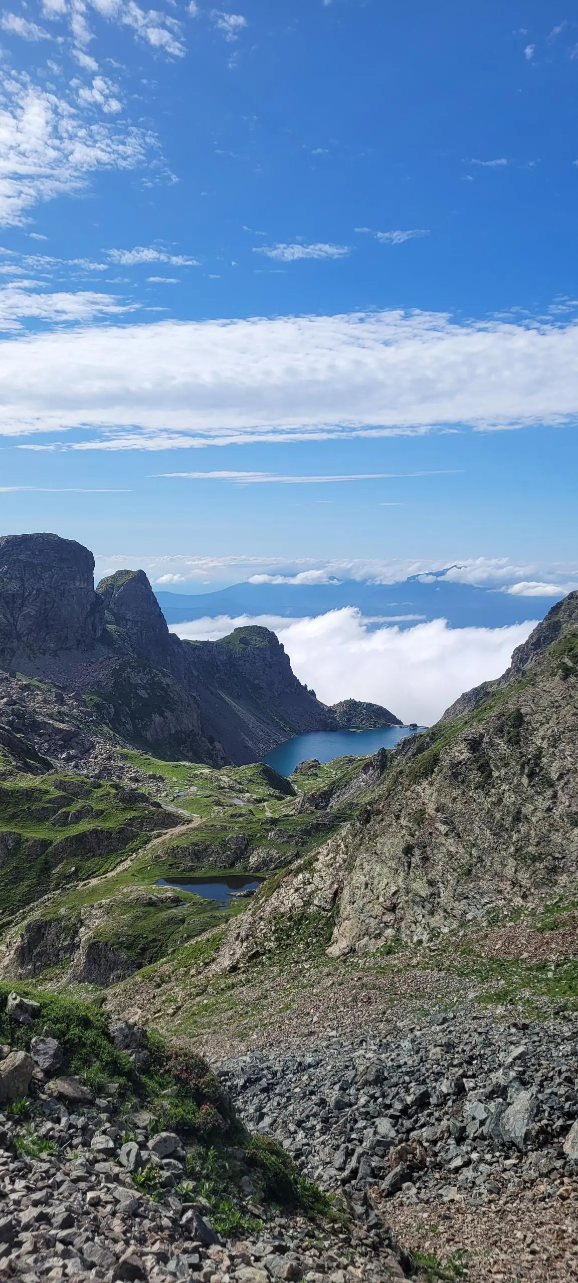
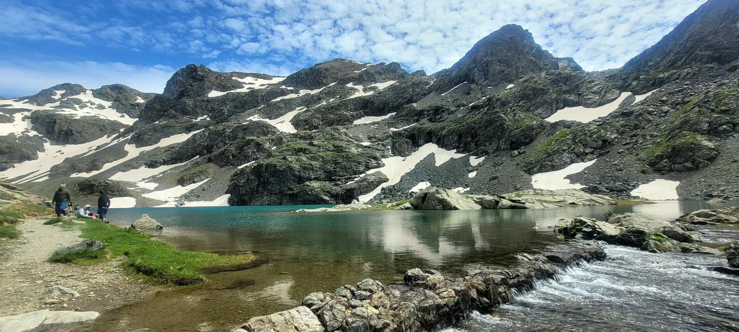
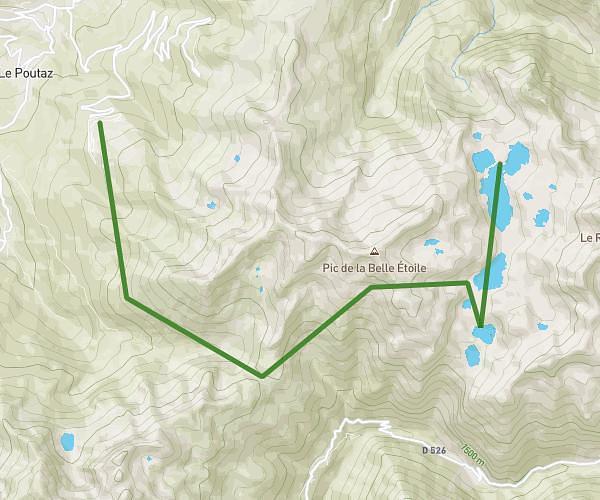
This hiking trail covers 13.36mi starting from Revel, Isère. The hike is a loop trail and returns to the trailhead. This hike is rated as moderate, plan for about 9h18m to complete it. The route has an elevation gain of 4495ft and an elevation loss of 4482ft.
bivouac tour des lacs du pra
Route details
1.03mph
Speed
4325 kcal
Calories burned
12.7%
Avg grade
Loop trail
Route type
4298ft
Min altitude
7864ft
Max altitude
Steep climb
Route profile
4495ft
Elevation gain
4482ft
Elevation loss
4298ft
Min altitude
7864ft
Max altitude
How to get there
Trailhead: 3402 Route De Freydières, 38420 Revel, France
GPS coordinates of the trailhead: 45.17875, 5.90997 / 45°10'43'' N, 5°54'35'' E
Hiking trails nearby

Valentin Pasco
Hiking
Strenuous
rando fin juillet 2026
10.839mi
•
8h43m
•
+5492ft
Isère - Les Adrets
Valentin Pasco
Hiking
Strenuous
rando fin juillet 2026
10.839mi
•
8h43m
•
+5492ft
Isère - Les Adrets


