This hiking trail covers 4.545mi starting from Seyssins, Isère. The hike does not return to the trailhead and ends near 26 Allée Des Chênes, 38180 Seyssins, France. This hike is rated as hard, plan for about 2h26m to complete it. The route has an elevation gain of 1755ft and an elevation loss of 1388ft.
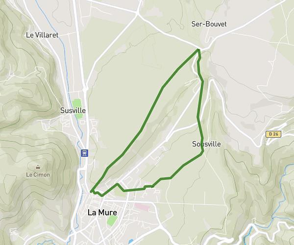
Comboire
Route details
1.86mph
Speed
1149 kcal
Calories burned
13.1%
Avg grade
Point to point
Route type
722ft
Min altitude
1683ft
Max altitude
Steep climb
Route profile
1755ft
Elevation gain
1388ft
Elevation loss
722ft
Min altitude
1683ft
Max altitude
How to get there
Trailhead: 1 Avenue Louis Vicat, 38180 Seyssins, France
GPS coordinates of the trailhead: 45.156791, 5.695623 / 45°9'24'' N, 5°41'44'' E