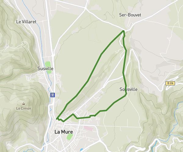
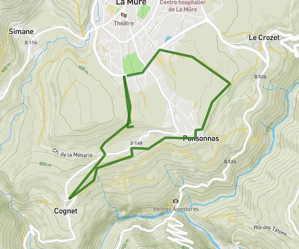
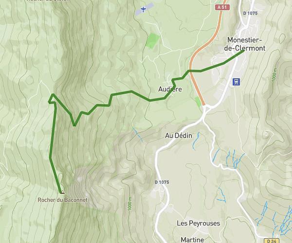
This hiking trail covers 20.906mi starting from Chantepérier, Isère. The hike is a loop trail and returns to the trailhead. This hike is rated as strenuous, plan for about 5h40m to complete it. The route has an elevation gain of 11545ft and an elevation loss of 11549ft.
le rochail
Route details
3.68mph
Speed
2802 kcal
Calories burned
20.9%
Avg grade
Loop trail
Route type
3734ft
Min altitude
9770ft
Max altitude
High altitude
Steep climb
Route profile
11545ft
Elevation gain
11549ft
Elevation loss
3734ft
Min altitude
9770ft
Max altitude
How to get there
Trailhead: 3390 Route Du Grand Armet, 38740 Chantepérier, France
GPS coordinates of the trailhead: 44.98611, 5.970936 / 44°59'9'' N, 5°58'15'' E