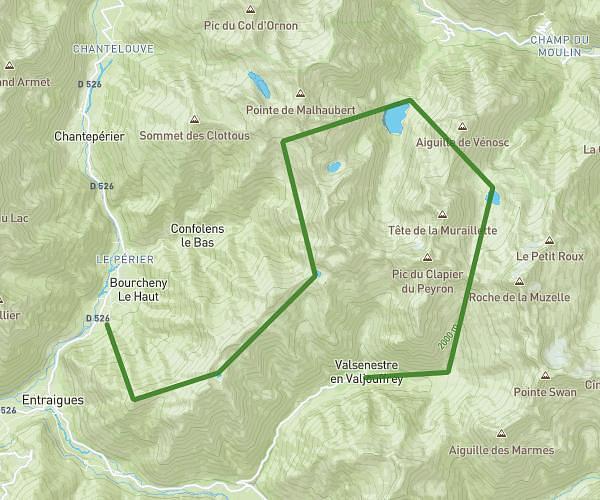
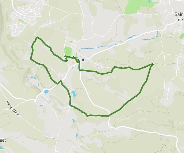
This hiking trail covers 6.496mi starting from Lavaldens, Isère. The hike is a loop trail and returns to the trailhead. This hike is rated as strenuous, plan for about 3h14m to complete it. The route has an elevation gain of 2123ft and an elevation loss of 2123ft.
trail /bivouac refuge du rif bruyant
Route details
2.01mph
Speed
1500 kcal
Calories burned
12.4%
Avg grade
Loop trail
Route type
3294ft
Min altitude
4803ft
Max altitude
Steep climb
Route profile
2123ft
Elevation gain
2123ft
Elevation loss
3294ft
Min altitude
4803ft
Max altitude
How to get there
Trailhead: 194 Route Du Taillefer, 38350 Lavaldens, France
GPS coordinates of the trailhead: 44.982269, 5.886976 / 44°58'56'' N, 5°53'13'' E