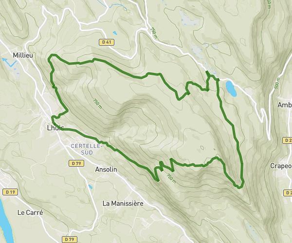
This running route covers 5.283mi starting from Porcieu-Amblagnieu, Isère. The run is a loop trail and returns to the trailhead. This run is rated as moderate, expect about 51m to complete it. The route has an elevation gain of 410ft and an elevation loss of 417ft.
Jog1
Route details
6.21mph
Speed
583 kcal
Calories burned
Loop trail
Route type
653ft
Min altitude
935ft
Max altitude
Route profile
410ft
Elevation gain
417ft
Elevation loss
653ft
Min altitude
935ft
Max altitude
How to get there
Trailhead: Impasse De La Crèche, 38390 Porcieu-Amblagnieu
GPS coordinates of the trailhead: 45.82495, 5.40886 / 45°49'29'' N, 5°24'31'' E