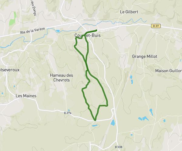
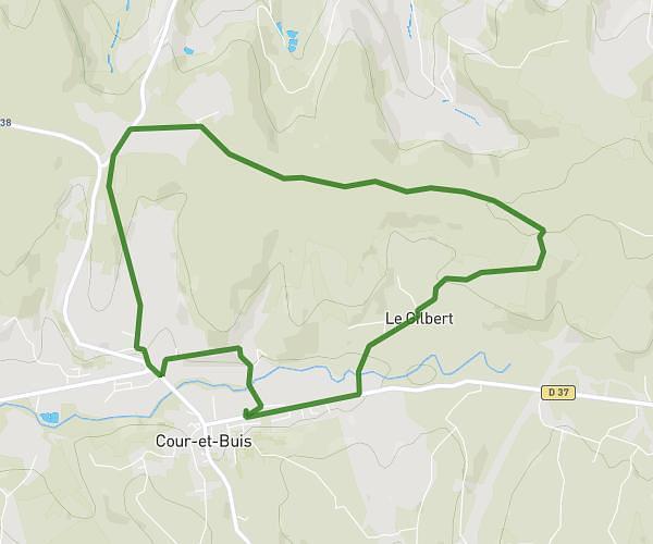
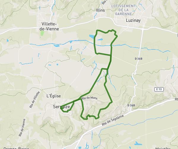
This running route covers 6.437mi starting from Ville-sous-Anjou, Isère. The run does not return to the trailhead and ends near 3 Rue Jules Ladoumègue, 38550 Saint-Maurice-l'Exil, France. This run is rated as moderate, expect about 1h9m to complete it. The route has an elevation gain of 381ft and an elevation loss of 689ft.
Aqualone
Route details
5.59mph
Speed
790 kcal
Calories burned
Point to point
Route type
495ft
Min altitude
830ft
Max altitude
Route profile
381ft
Elevation gain
689ft
Elevation loss
495ft
Min altitude
830ft
Max altitude
How to get there
Trailhead: 28 Route D'agnin, 38150 Ville-sous-Anjou, France
GPS coordinates of the trailhead: 45.35989, 4.8576 / 45°21'35'' N, 4°51'27'' E