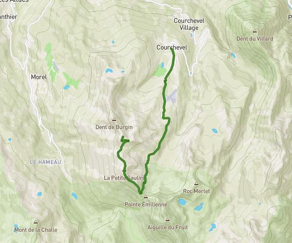
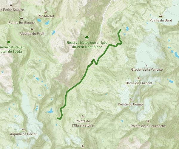
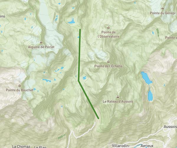
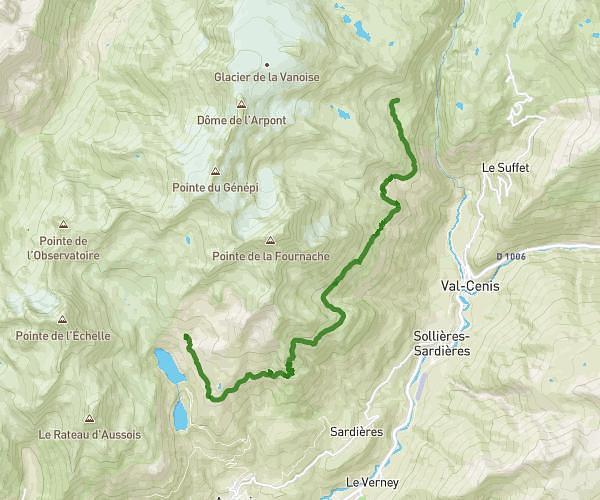
This hiking trail covers 12.453mi starting from Pralognan-la-Vanoise, Savoie. The hike is a loop trail and returns to the trailhead. This hike is rated as strenuous, plan for about 8h59s to complete it. The route has an elevation gain of 5335ft and an elevation loss of 5407ft.
Lac des Meuh - Vanoise
Route details
1.55mph
Speed
3822 kcal
Calories burned
16.3%
Avg grade
Loop trail
Route type
4754ft
Min altitude
8553ft
Max altitude
High altitude
Steep climb
Route profile
5335ft
Elevation gain
5407ft
Elevation loss
4754ft
Min altitude
8553ft
Max altitude
How to get there
Trailhead: 73710 Pralognan-la-Vanoise
GPS coordinates of the trailhead: 45.39973, 6.7338 / 45°23'59'' N, 6°44'1'' E