MapPlanner
7.763mi
Distance
3h56m
Duration
+2113ft
Elevation gain
-2119ft
Elevation loss
Strenuous
Level

Tour du lac genin

Route details

1.98mph
Speed
1794 kcal
Calories burned
10.3%
Avg grade
Loop trail
Route type
2198ft
Min altitude
3212ft
Max altitude
Technicity: Technical Steep climb

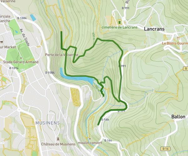
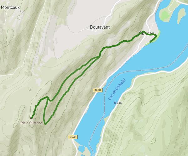
This hiking trail covers 7.763mi starting from Oyonnax, Ain. The hike is a loop trail and returns to the trailhead. This hike is rated as strenuous, plan for about 3h56m to complete it. The route has an elevation gain of 2113ft and an elevation loss of 2119ft.

Route profile

2113ft
Elevation gain
2119ft
Elevation loss
2198ft
Min altitude
3212ft
Max altitude

How to get there

Trailhead: Chemin De Vie Neuve, 01100 Oyonnax, France

GPS coordinates of the trailhead: 46.252047, 5.672788 / 46°15'7'' N, 5°40'22'' E
Download / Export

GPX

Hiking trails nearby

oliferm
Szaboolba
Hiking
Strenuous

oliferm

6.111mi
3h10m
+1703ft
Jura - Condes
Autour de Valserhône
Karfab
Hiking
Moderate

Autour de Valserhône

2.652mi
1h22m
+745ft
Ain - Valserhône
Traversée du Colombier avec Juju - jour 1
Florent Goiffon
Hiking
Strenuous

Traversée du Colombier avec Juju - jour 1

8.316mi
4h35m
+1955ft
Ain - Surjoux-Lhopital
Veyziat
Mary LES
Hiking
Strenuous

Veyziat

12.354mi
4h33m
+1591ft
Ain - Oyonnax

Recommended routes for you

Col de la biche - Grand Colombier
Flo
Hiking
Moderate

Col de la biche - Grand Colombier

7.24mi
4h17m
+2438ft
Ain - Arvière-en-Valromey
Canyon de Treffond-Pernaz
Isa&Niko
Hiking
Easy

Canyon de Treffond-Pernaz

1.278mi
41m7s
+531ft
Ain - Serrières-de-Briord
Cascades de la Fronde
Isa&Niko
Hiking
Easy

Cascades de la Fronde

1.002mi
32m15s
+469ft
Ain - Le Poizat-Lalleyriat
Cascade de la Magnine
Isa&Niko
Hiking
Easy

Cascade de la Magnine

0.559mi
18m
+361ft
Ain - Culoz

Caution: May Cross Private Property

This route may pass through or near private property. Always respect posted signs, obtain permission where required, and follow local trespassing laws. MapPlanner does not guarantee public access along any route.

Safety Notice

Trail and road conditions may change without notice due to weather, construction, or other factors. Always verify current conditions before heading out. You are responsible for your own safety — follow local signage, obey traffic laws, and use your best judgment on the trail.