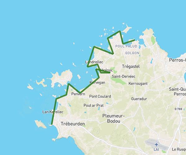
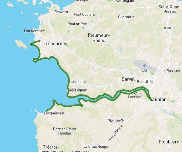
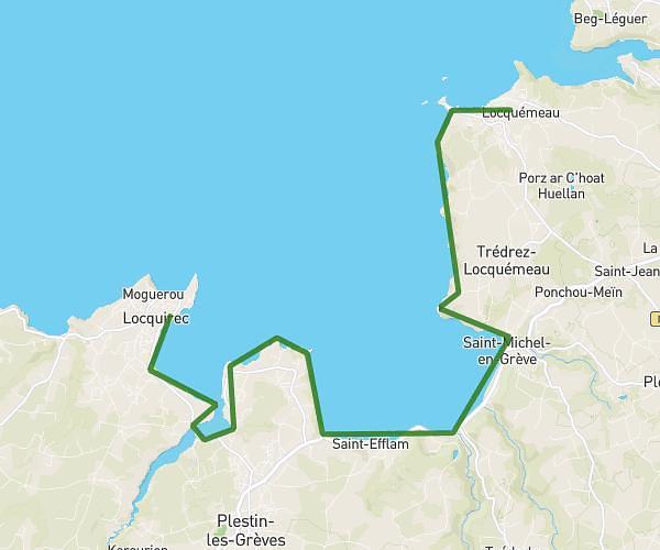
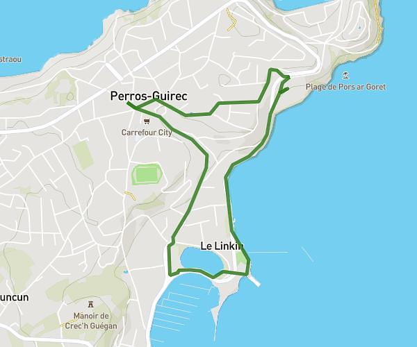
This hiking trail covers 12.485mi starting from Locquirec, Finistère. The hike is a loop trail and returns to the trailhead. This hike is rated as hard, plan for about 5h44m to complete it. The route has an elevation gain of 1329ft and an elevation loss of 1329ft.
boucle poul roudou, l'ile blanche
Route details
2.17mph
Speed
2492 kcal
Calories burned
4.0%
Avg grade
Loop trail
Route type
-26ft
Min altitude
243ft
Max altitude
Route profile
1329ft
Elevation gain
1329ft
Elevation loss
-26ft
Min altitude
243ft
Max altitude
How to get there
Trailhead: 25 Route De La Corniche, 29241 Locquirec, France
GPS coordinates of the trailhead: 48.68885, -3.69995 / 48°41'19'' N, 3°41'59'' W