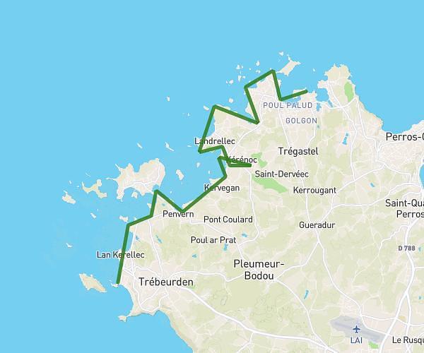
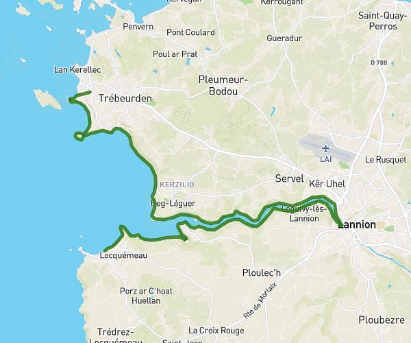
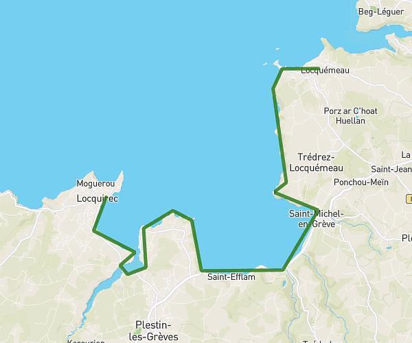
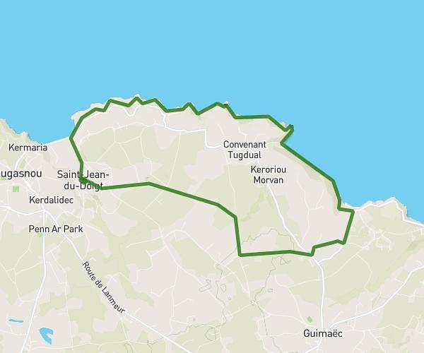
This hiking trail covers 15.196mi starting from Henvic, Finistère. The hike is a loop trail and returns to the trailhead. This hike is rated as strenuous, plan for about 8h24m to complete it. The route has an elevation gain of 1565ft and an elevation loss of 1568ft.
HENVIC
Route details
1.81mph
Speed
3647 kcal
Calories burned
3.9%
Avg grade
Loop trail
Route type
3ft
Min altitude
269ft
Max altitude
Route profile
1565ft
Elevation gain
1568ft
Elevation loss
3ft
Min altitude
269ft
Max altitude
How to get there
Trailhead: Place Alexis Gourvennec, 29670 Henvic
GPS coordinates of the trailhead: 48.63269, -3.92622 / 48°37'57'' N, 3°55'34'' W