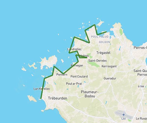
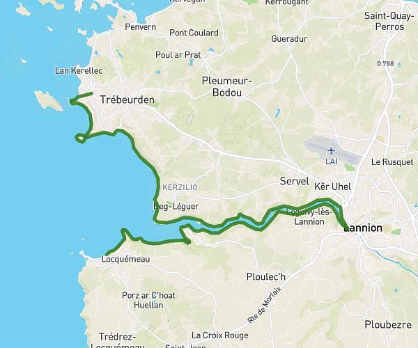
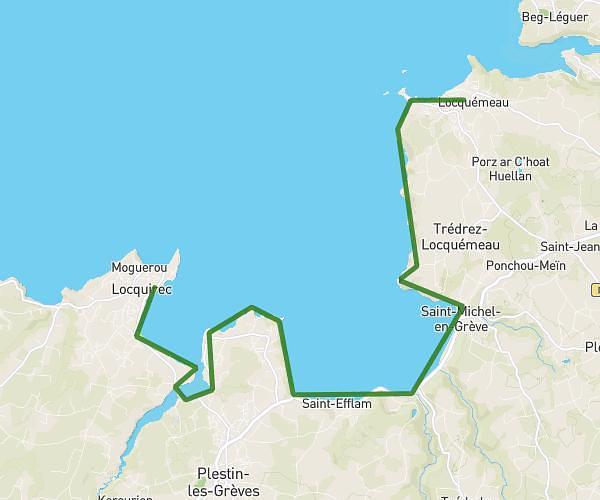
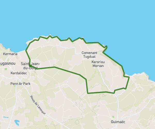
This hiking trail covers 13.807mi starting from Plouezoc'h, Finistère. The hike does not return to the trailhead and ends near Place Cornic, 29600 Morlaix. This hike is rated as hard, plan for about 6h37m to complete it. The route has an elevation gain of 965ft and an elevation loss of 955ft.
MORLAIX + TAS DE CAILLOUX
Route details
2.08mph
Speed
2844 kcal
Calories burned
2.6%
Avg grade
Point to point
Route type
16ft
Min altitude
302ft
Max altitude
Route profile
965ft
Elevation gain
955ft
Elevation loss
16ft
Min altitude
302ft
Max altitude
How to get there
Trailhead: Route Du Cairn, 29252 Plouezoc'h
GPS coordinates of the trailhead: 48.67225, -3.86337 / 48°40'20'' N, 3°51'48'' W