MapPlanner
10.085mi
Distance
5h35m
Duration
+410ft
Elevation gain
-410ft
Elevation loss
Moderate
Level

SANTEC

Route details

1.8mph
Speed
2379 kcal
Calories burned
1.5%
Avg grade
Loop trail
Route type
-7ft
Min altitude
118ft
Max altitude

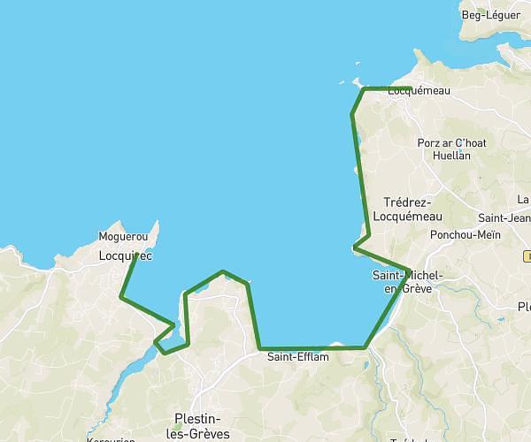
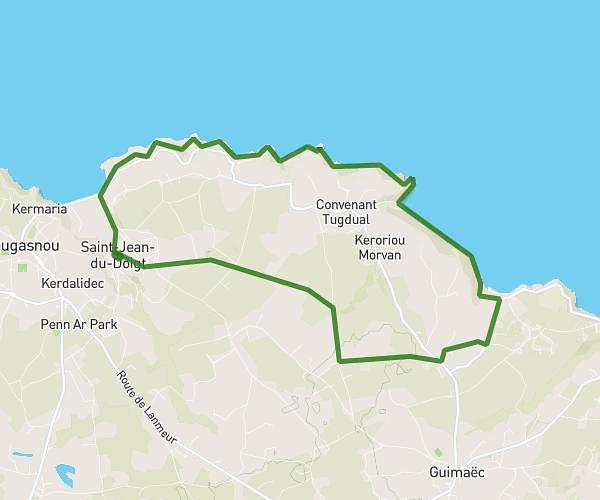
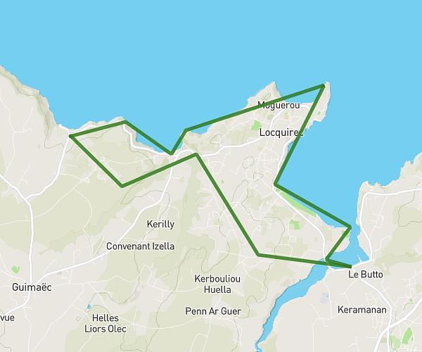
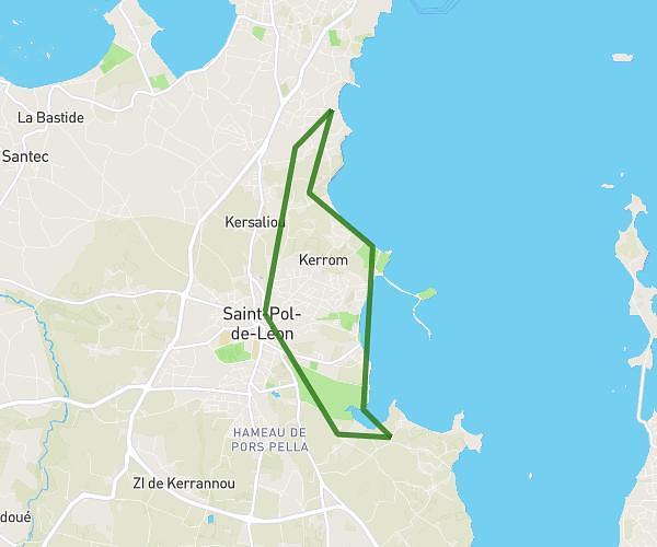
This hiking trail covers 10.085mi starting from Santec, Finistère. The hike is a loop trail and returns to the trailhead. This hike is rated as moderate, plan for about 5h35m to complete it. The route has an elevation gain of 410ft and an elevation loss of 410ft.

Route profile

410ft
Elevation gain
410ft
Elevation loss
-7ft
Min altitude
118ft
Max altitude

How to get there

Trailhead: Route Du Corps Des Gardes, 29250 Santec

GPS coordinates of the trailhead: 48.71068, -4.03593 / 48°42'38'' N, 4°2'9'' W

Caution: May Cross Private Property

This route may pass through or near private property. Always respect posted signs, obtain permission where required, and follow local trespassing laws. MapPlanner does not guarantee public access along any route.

Safety Notice

Trail and road conditions may change without notice due to weather, construction, or other factors. Always verify current conditions before heading out. You are responsible for your own safety — follow local signage, obey traffic laws, and use your best judgment on the trail.