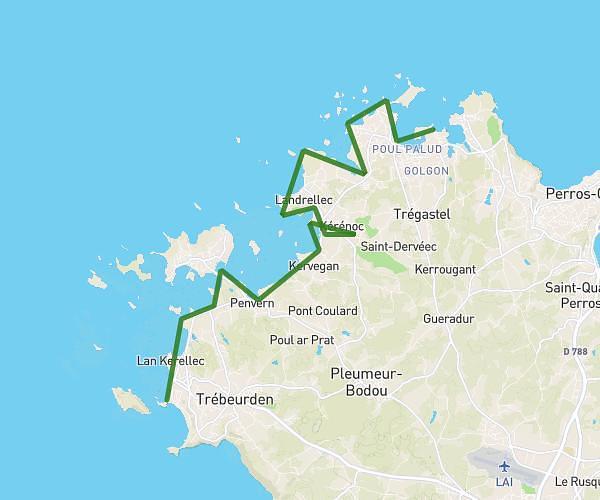
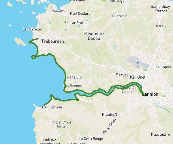
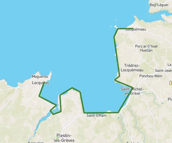
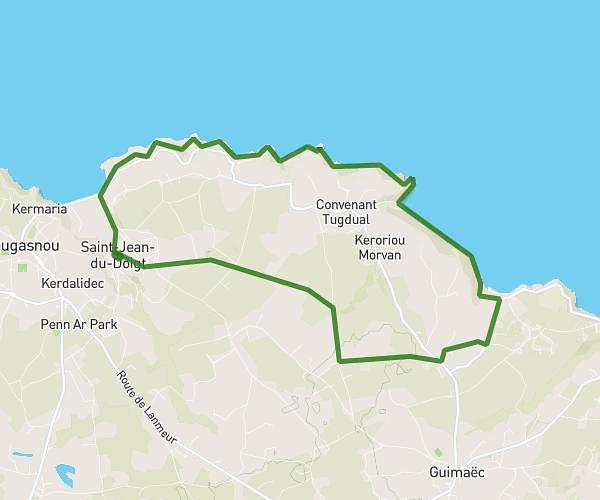
This hiking trail covers 12.898mi starting from Carantec, Finistère. The hike is a loop trail and returns to the trailhead. This hike is rated as hard, plan for about 7h32m to complete it. The route has an elevation gain of 1099ft and an elevation loss of 1099ft.
tour de carantec et ile de callot
Route details
1.71mph
Speed
3250 kcal
Calories burned
3.2%
Avg grade
Loop trail
Route type
-3ft
Min altitude
194ft
Max altitude
Route profile
1099ft
Elevation gain
1099ft
Elevation loss
-3ft
Min altitude
194ft
Max altitude
How to get there
Trailhead: 5 Rue Parc Ar Roc'h, 29660 Carantec, France
GPS coordinates of the trailhead: 48.66896, -3.91954 / 48°40'8'' N, 3°55'10'' W