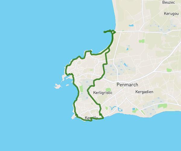
This hiking trail covers 11.935mi starting from Treffiagat, Finistère. The hike is a loop trail and returns to the trailhead. This hike is rated as moderate, plan for about 6h2m to complete it. The route has an elevation gain of 325ft and an elevation loss of 331ft.
trefiagat
Route details
1.98mph
Speed
2556 kcal
Calories burned
1.0%
Avg grade
Loop trail
Route type
3ft
Min altitude
59ft
Max altitude
Route profile
325ft
Elevation gain
331ft
Elevation loss
3ft
Min altitude
59ft
Max altitude
How to get there
Trailhead: Accès Rivage, 29730 Treffiagat, France
GPS coordinates of the trailhead: 47.7919, -4.27204 / 47°47'30'' N, 4°16'19'' W