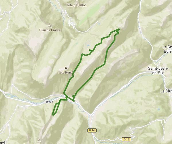
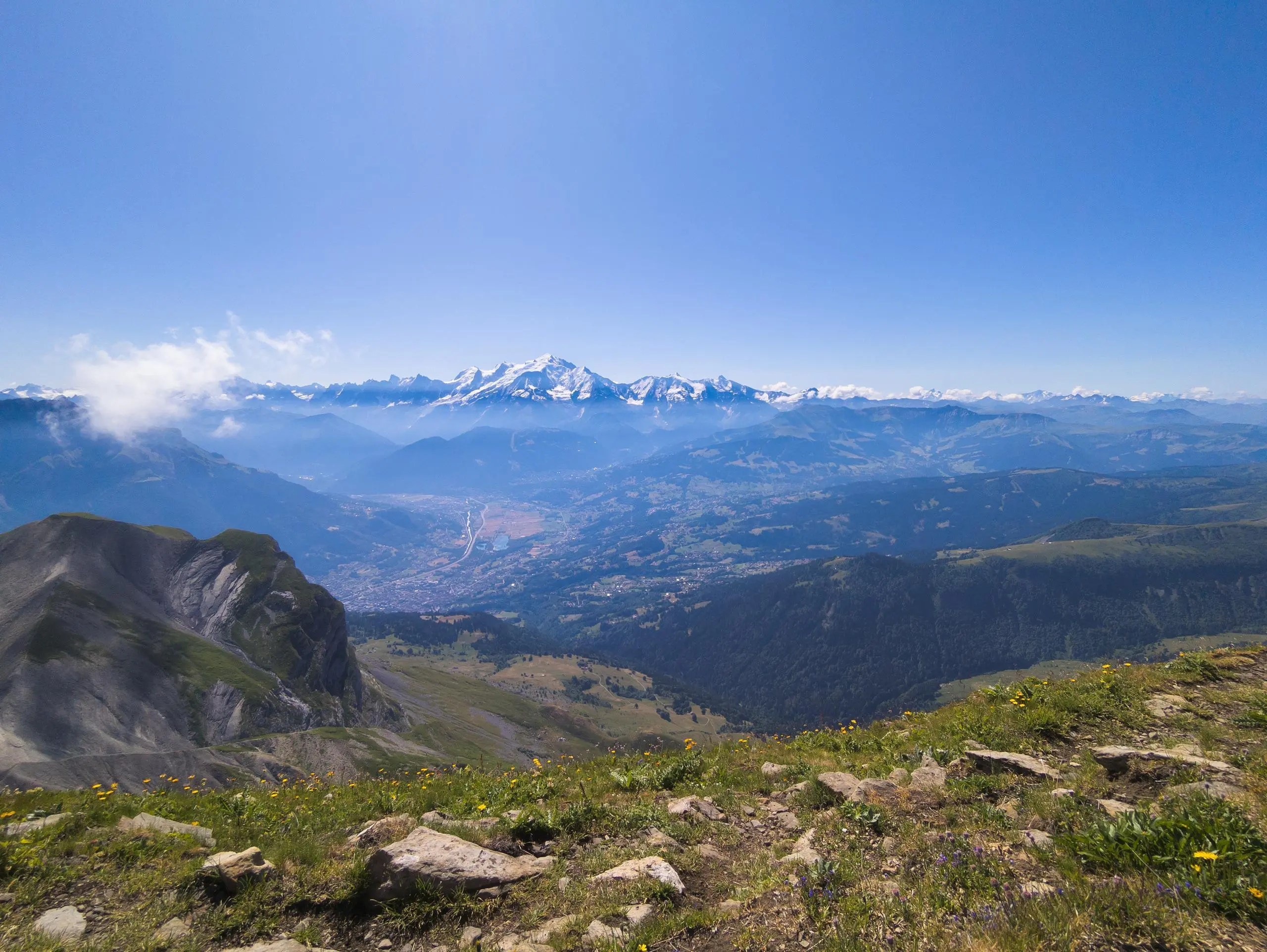
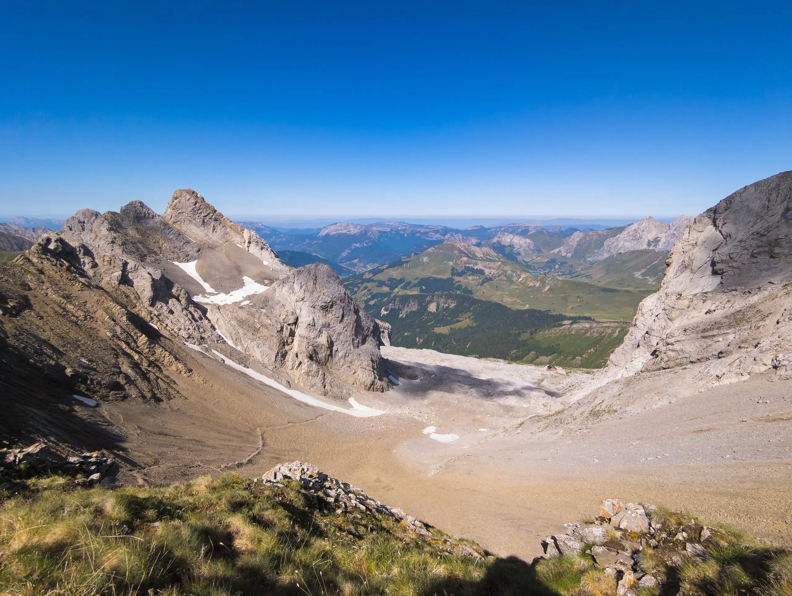
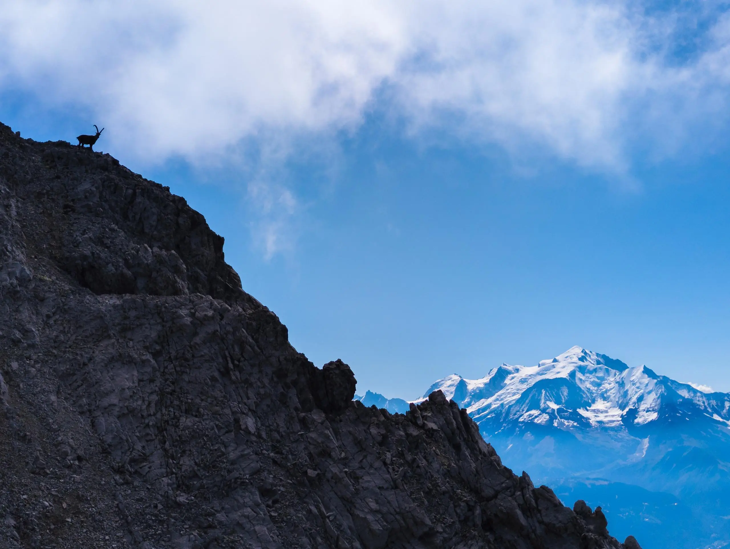
This hiking trail covers 6.894mi starting from Le Grand-Bornand, Haute-Savoie. The hike is a loop trail and returns to the trailhead. This hike is rated as strenuous, plan for about 4h17m to complete it. The route has an elevation gain of 3990ft and an elevation loss of 3967ft.
Description of the route by the creator
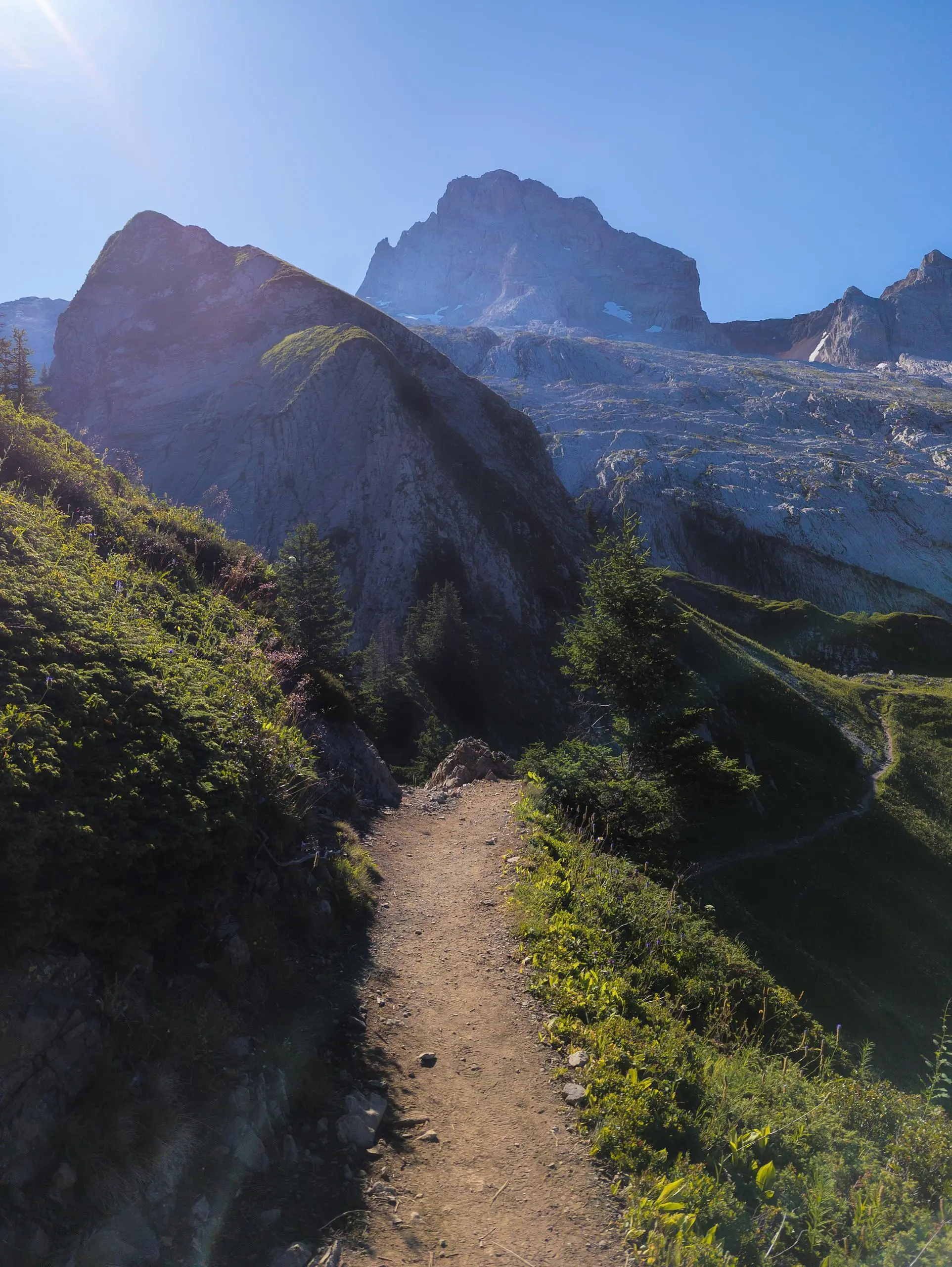
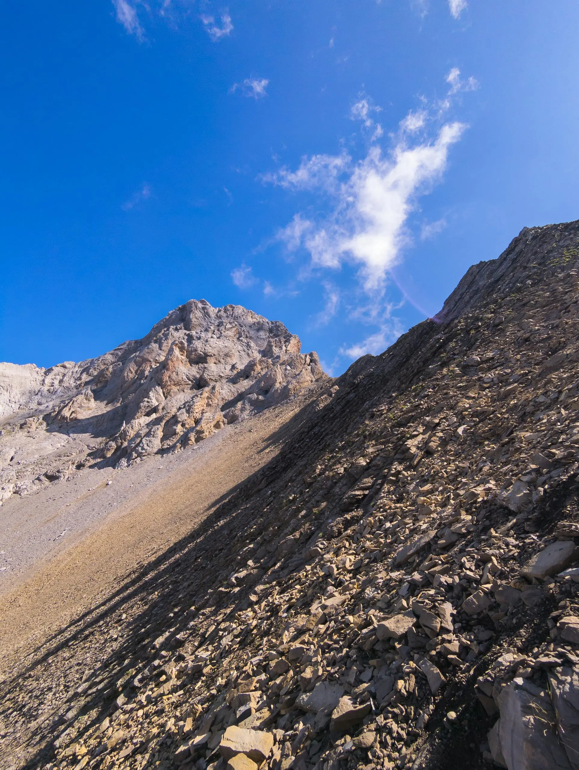
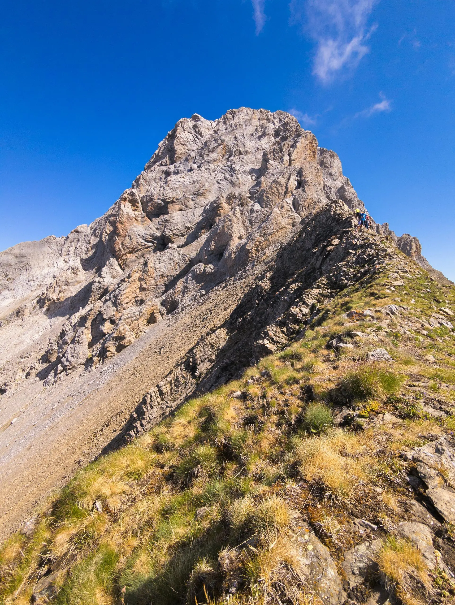
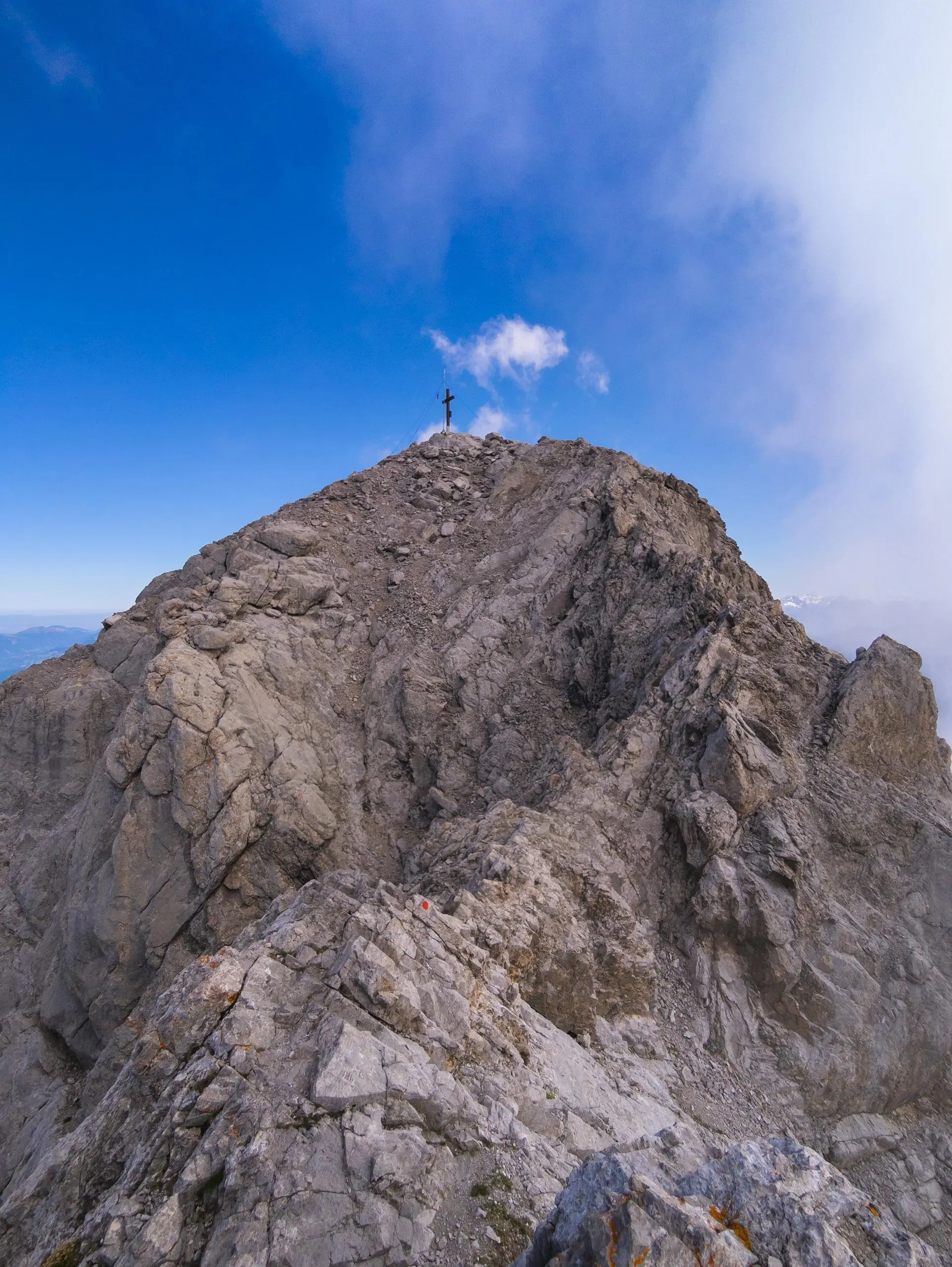
There is a small parking lot behind the houses at Col des Annes. The path is well signposted all the way to the Pointe Percée refuge. The difficulty starts after the refuge. There are 2 possible routes: either the shortest by the path leading directly to the pointe (and the most popular), or the right which joins the path to Sallanches, which goes over the ridge and requires a bit of climbing (level 3 max). This path is not very well signposted; you have to follow the white dots on the stones, but it's easy to make a mistake. It joins the path coming from Sallanches and then over the ridge to the Pointe Percée. For the return route, follow the points marked in red. There are quite a few of them, and they're easy to see. It's just that the path is rather slippery. Once you've reached the refuge, take the same path back to the parking lot. WARNING: for the 2 paths, you'll need to use your hands and take a few climbing steps, reserved for experienced hikers. But no equipment is required.