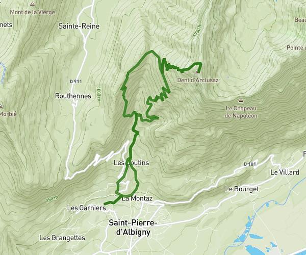
This hiking trail covers 0.288mi starting from Attignat-Oncin, Savoie. The hike is a loop trail and returns to the trailhead. This hike is rated as moderate, plan for about 9m16s to complete it. The route has an elevation gain of 400ft and an elevation loss of 49ft.
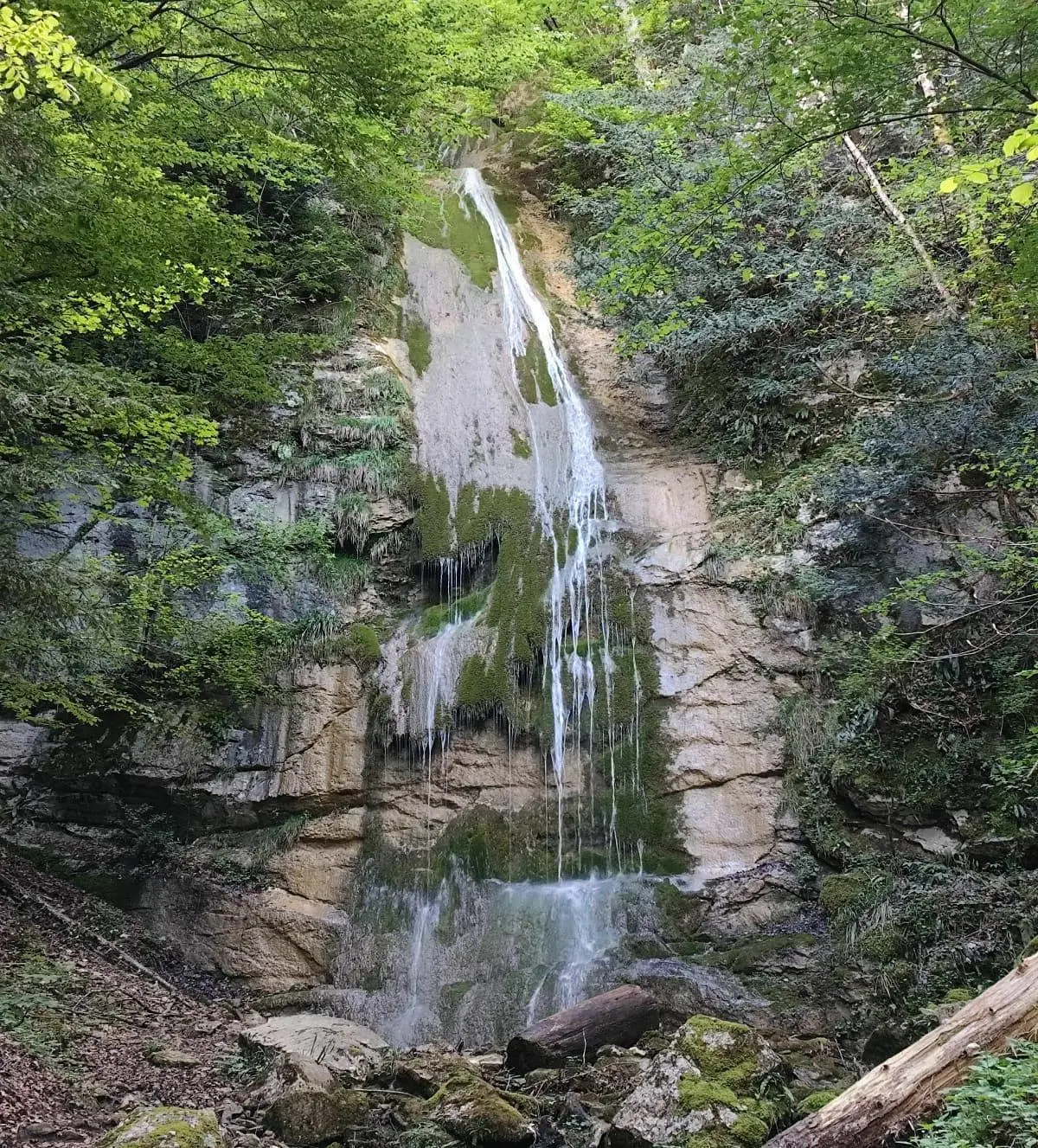
Cascades de la Pissoire
Route details
1.86mph
Speed
93 kcal
Calories burned
29.5%
Avg grade
Loop trail
Route type
2874ft
Min altitude
3225ft
Max altitude
Steep climb
Route profile
400ft
Elevation gain
49ft
Elevation loss
2874ft
Min altitude
3225ft
Max altitude
How to get there
Trailhead: Route Du Morotiot, 73610 Attignat-Oncin
GPS coordinates of the trailhead: 45.49329, 5.79064 / 45°29'35'' N, 5°47'26'' E