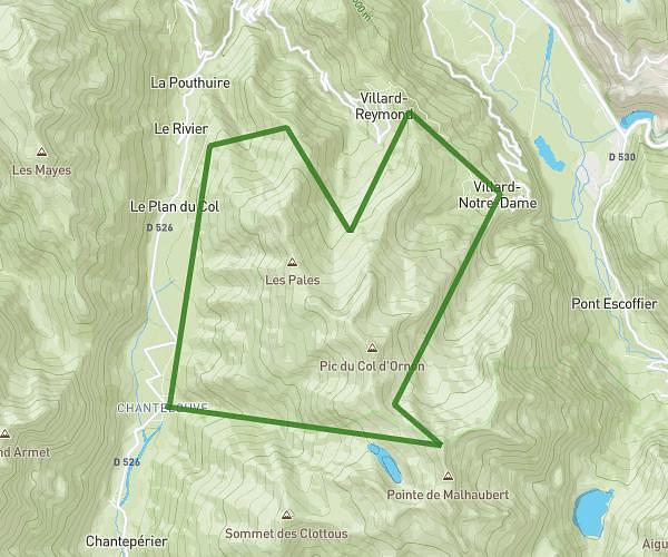
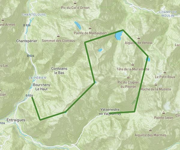
This hiking trail covers 13.89mi starting from Villar-d'Arêne, Hautes-Alpes. The hike does not return to the trailhead and ends near 55 Rue De Labessia, 05220 Le Monêtier-les-Bains, France. This hike is rated as strenuous, plan for about 5h34m to complete it. The route has an elevation gain of 853ft and an elevation loss of 5669ft.
Mardi - Les Guibertes
Route details
2.49mph
Speed
2386 kcal
Calories burned
8.9%
Avg grade
Point to point
Route type
4600ft
Min altitude
9416ft
Max altitude
High altitude
Steep climb
Route profile
853ft
Elevation gain
5669ft
Elevation loss
4600ft
Min altitude
9416ft
Max altitude
How to get there
Trailhead: 05480, Villar-d'Arêne, Hautes-Alpes, France
GPS coordinates of the trailhead: 44.98603, 6.32848 / 44°59'9'' N, 6°19'42'' E