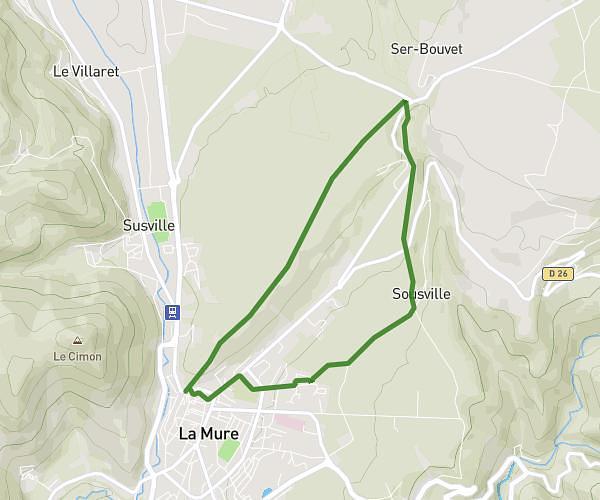
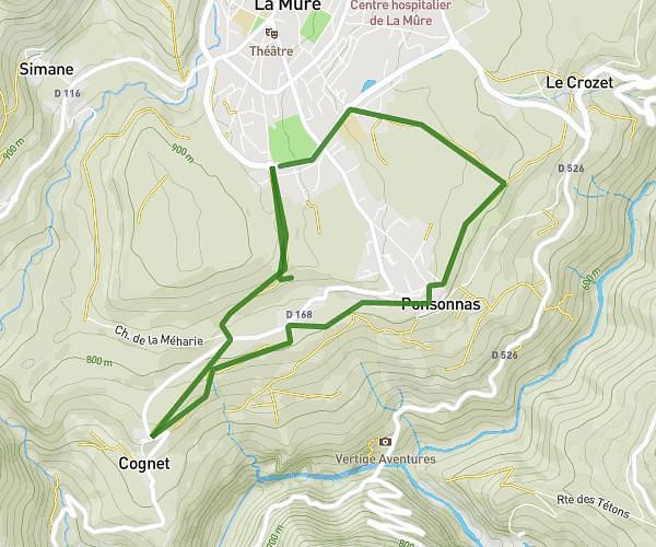
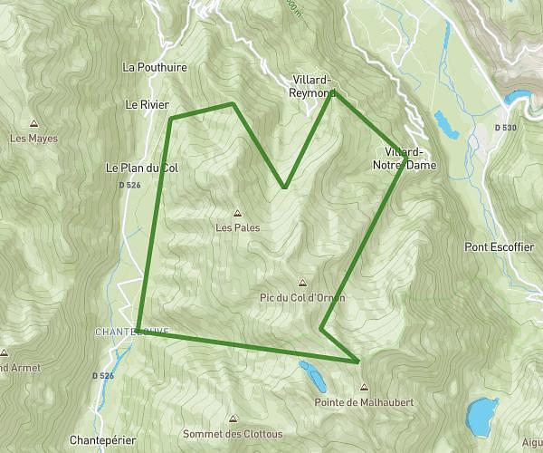
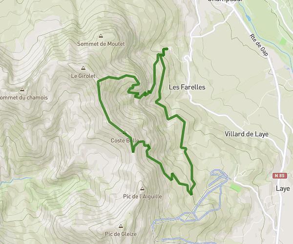
This hiking trail covers 25.616mi starting from Valjouffrey, Isère. The hike does not return to the trailhead and ends near 543 Chemin De Dessous La Roche, 38740 Chantepérier, France. This hike is rated as strenuous, plan for about 16h13m to complete it. The route has an elevation gain of 16457ft and an elevation loss of 16473ft.
lacs du signal du lauvitel
Route details
1.58mph
Speed
8192 kcal
Calories burned
24.3%
Avg grade
Point to point
Route type
4255ft
Min altitude
8606ft
Max altitude
High altitude
Steep climb
Route profile
16457ft
Elevation gain
16473ft
Elevation loss
4255ft
Min altitude
8606ft
Max altitude
How to get there
Trailhead: 132 Chemin Du Lac Labarre, 38740 Valjouffrey, France
GPS coordinates of the trailhead: 44.907698, 6.054472 / 44°54'27'' N, 6°3'16'' E