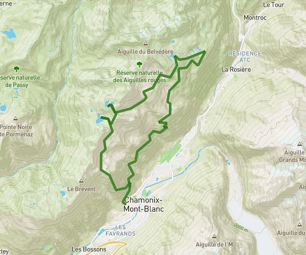
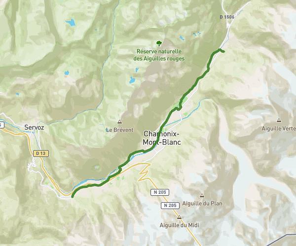
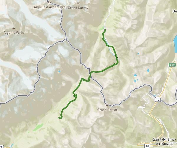
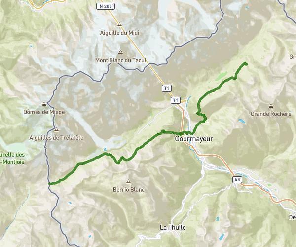
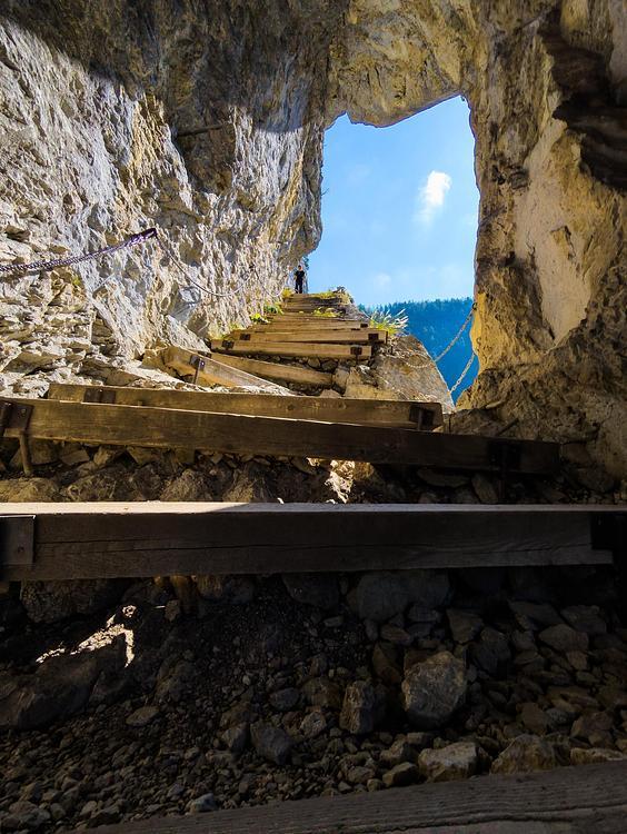
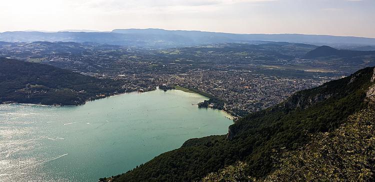
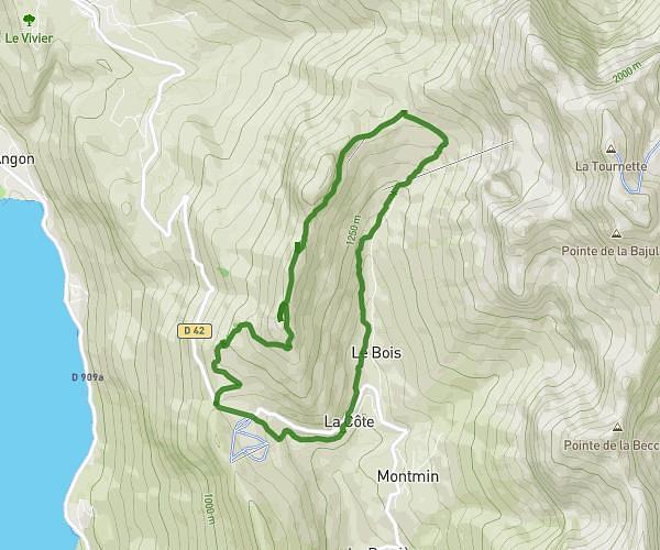
Explore this hiking route of 11,356mi starting from Les Contamines-Montjoie, Haute-Savoie. The hike is a loop and returns to the starting point. This hike has no defined difficulty level, plan for about 6h12m to complete it. The route has a positive elevation gain of 3661ft and a negative elevation loss of 3665ft.
Les Conta
Route details
Route profile
3661ft
Elevation +
3665ft
Elevation -
3878ft
Min altitude
6385ft
Max altitude
How to get there
Route starting point: 2720 Route De Notre-Dame-De-La-Gorge, 74170 Les Contamines-Montjoie, France
GPS coordinates of the starting point: 45.801027, 6.720339 / 45°48'3'' N, 6°43'13'' E