This hiking trail covers 11.605mi starting from Fillière, Haute-Savoie. The hike is a loop trail and returns to the trailhead. This hike is rated as hard, plan for about 5h47m to complete it. The route has an elevation gain of 4022ft and an elevation loss of 3957ft.
Description of the route by the creator
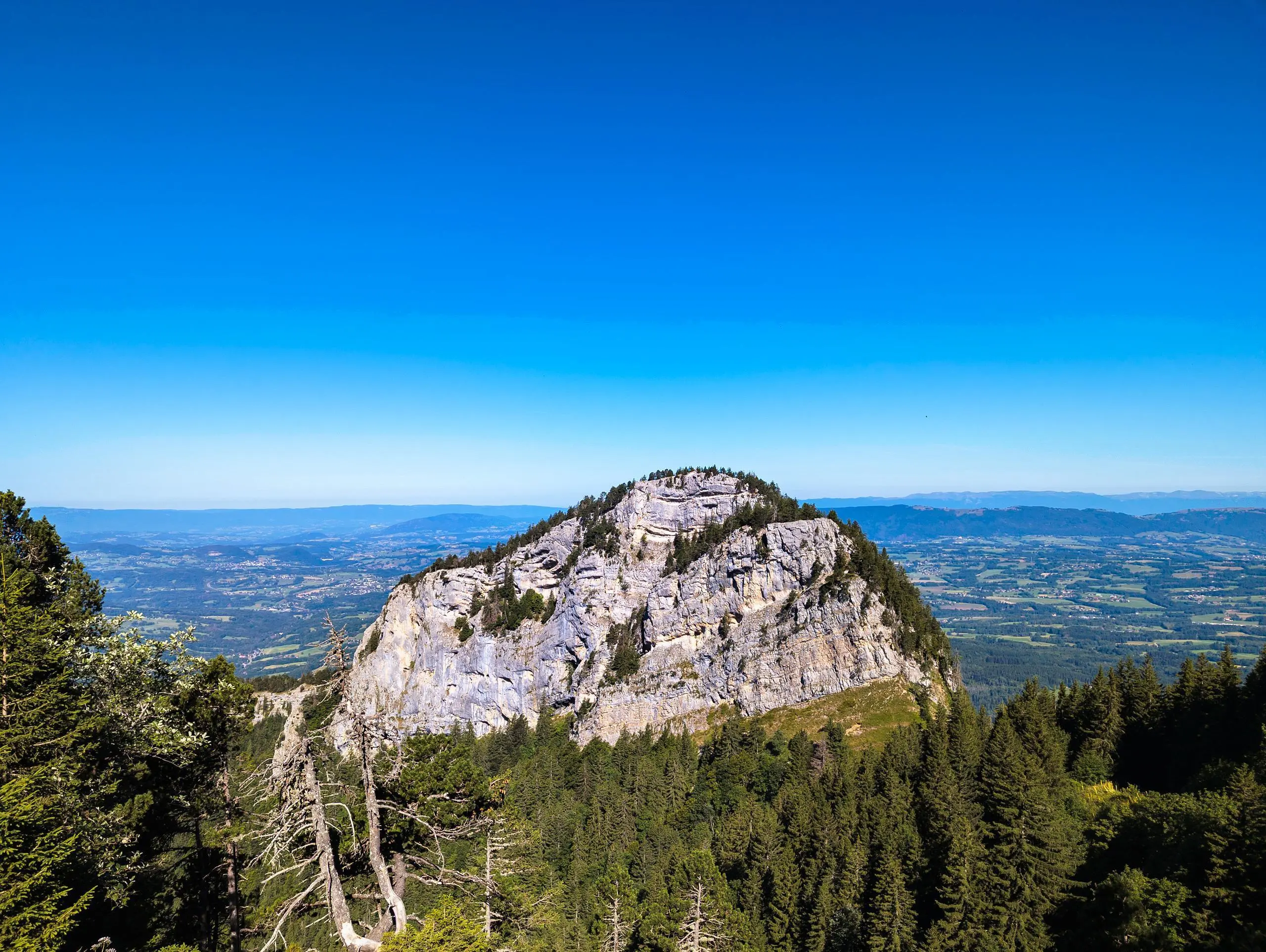
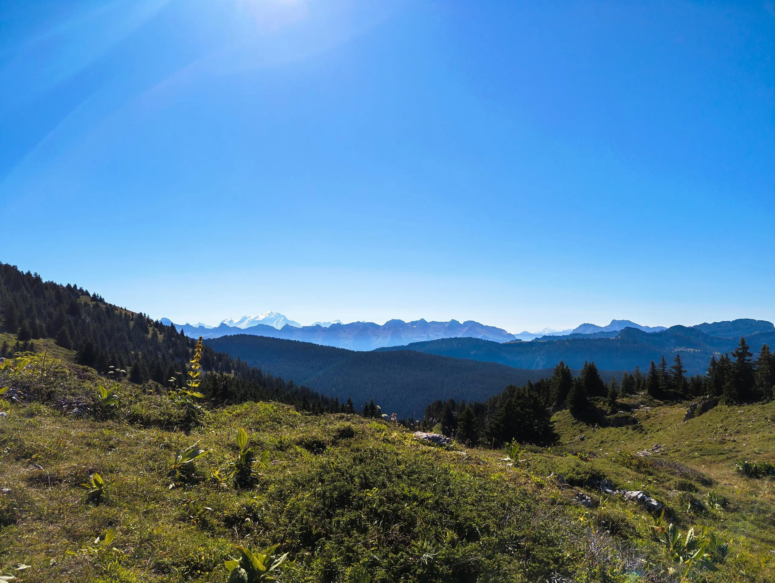
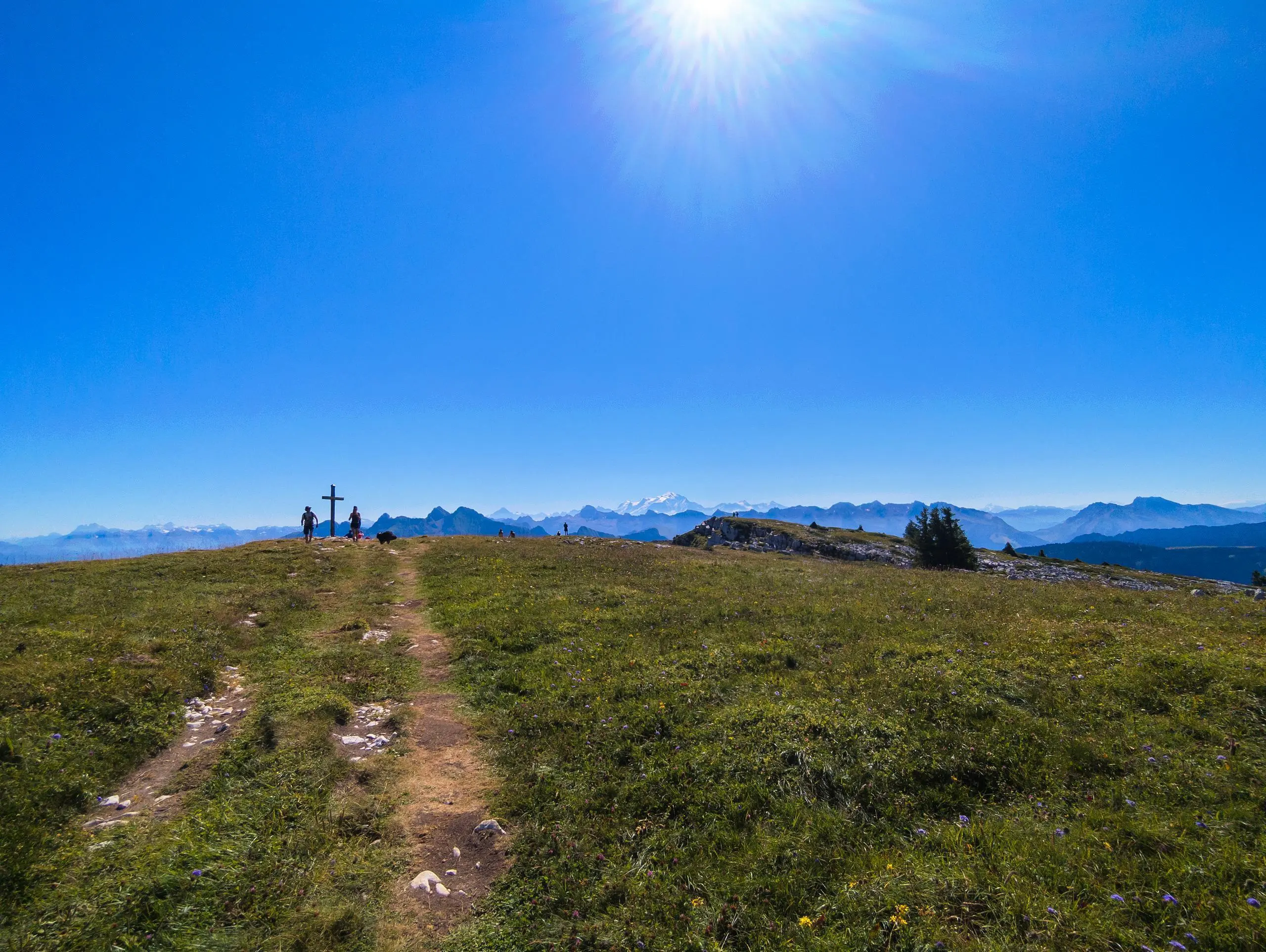
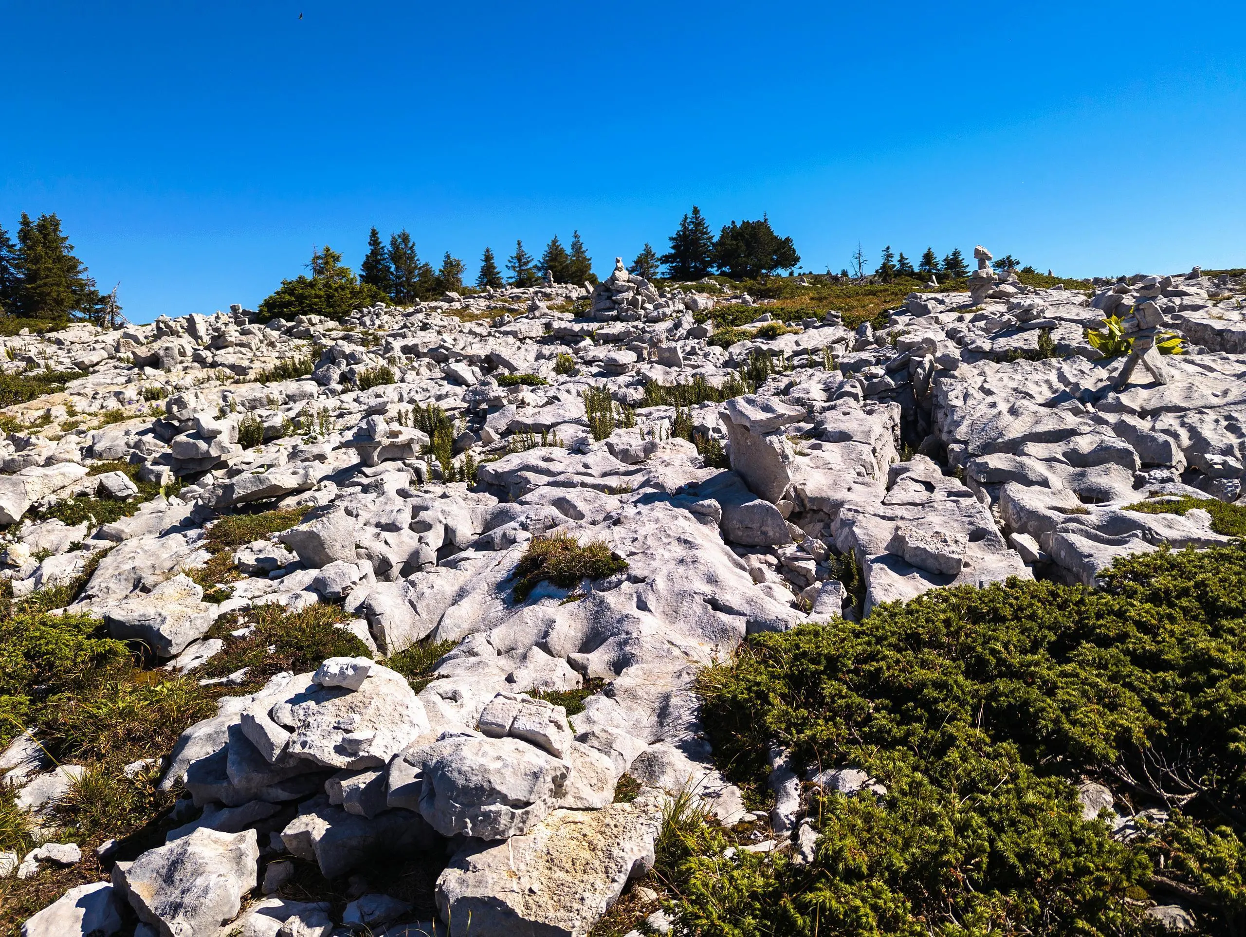
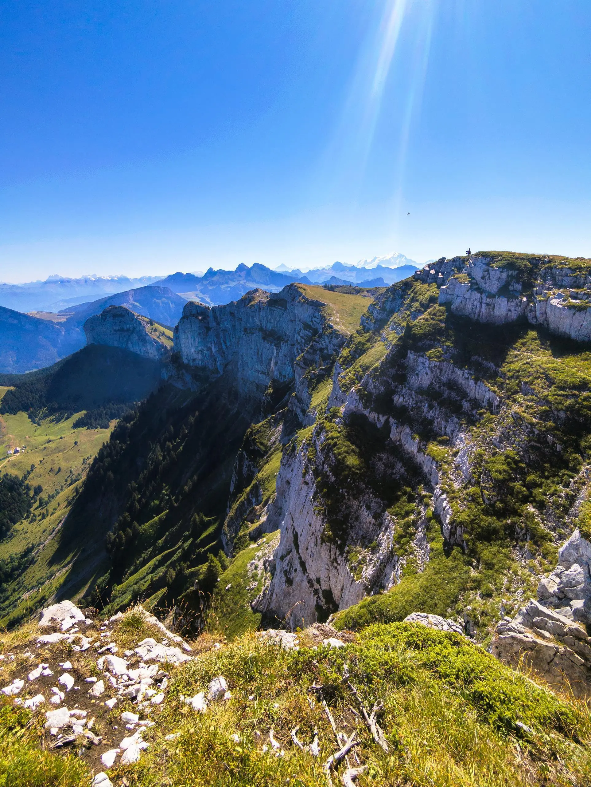
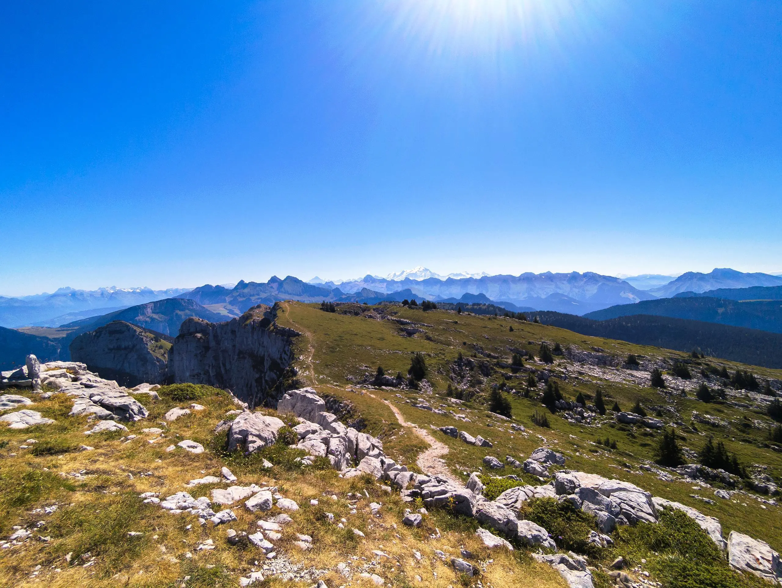
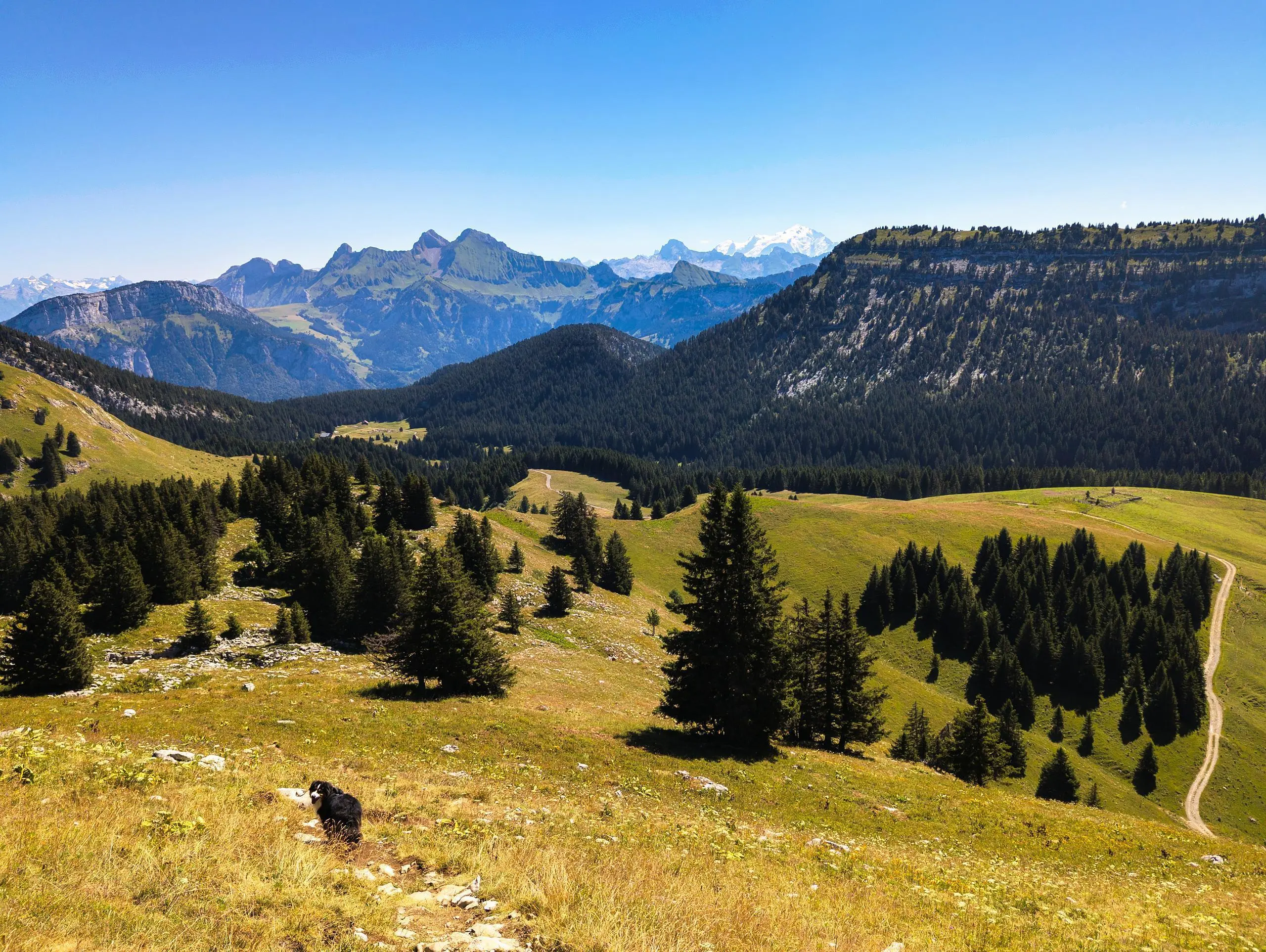
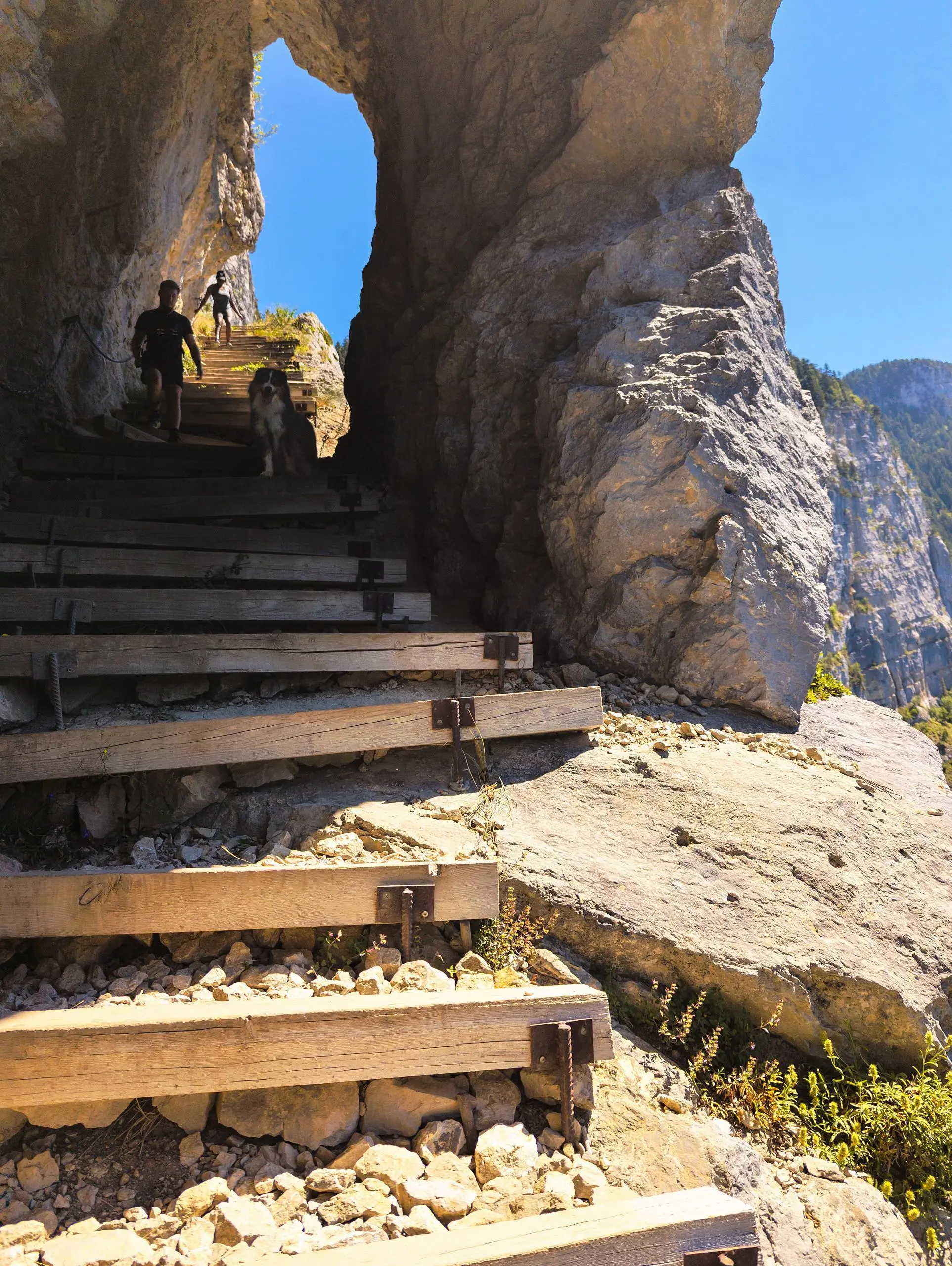
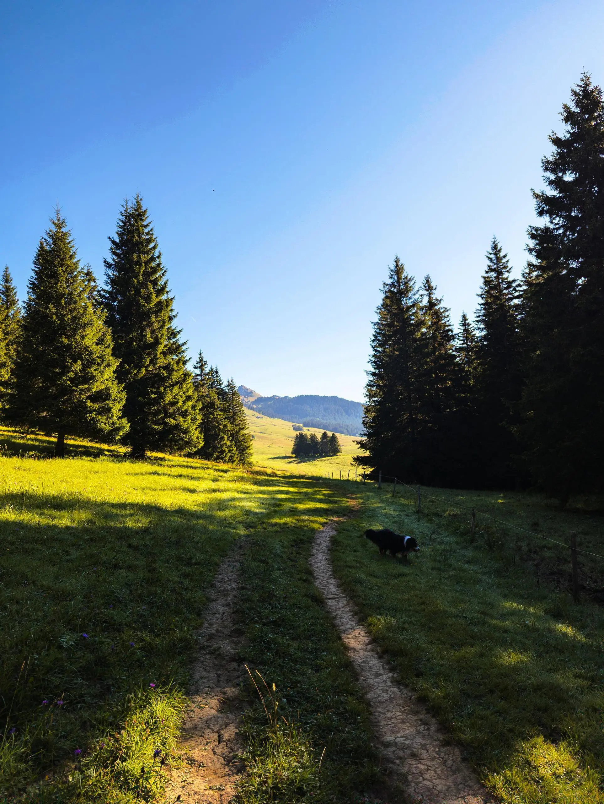
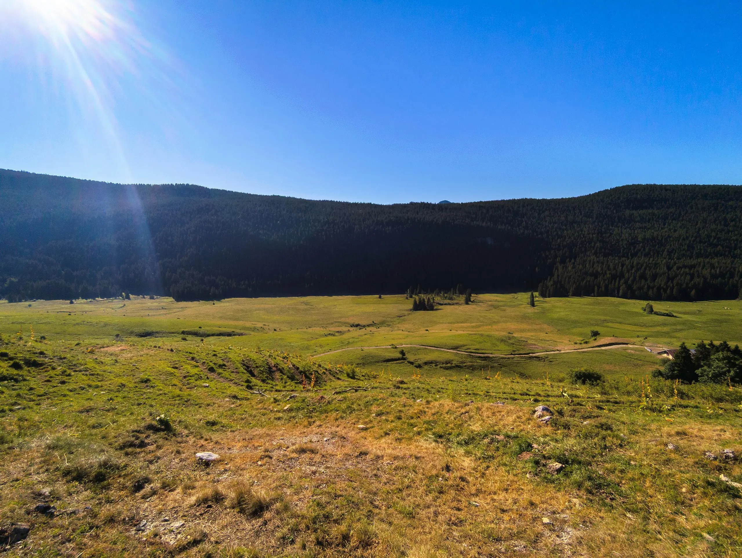
A very pretty hike offering a beautiful view of the Alps and passing close to the waterfalls. Park at the Pont de Pierre parking lot next to the pumping station. Follow the signs to the Pas du Roc waterfall. Then turn right through the forest to the Chalet du Plan. Shortly after the chalet, turn left along the forest road to reach the viewpoint over the Enclave cliff. Go back a little, then turn left (the path is signposted) through the forest, then out in the open to the summit of the Sous-Dine mountain. Then start the descent by turning right and passing the Pointe de Sous-Dine. This path joins a wide forest road, but there are a few tricky sections where you'll need to use your hands. Follow the path to reach the chalet, the Pas du Roc and then the parking lot.


