MapPlanner
7,85mi
Distance
3h47m
Duration
2,31mph
Speed
3671ft
Elevation +
3681ft
Elevation -
2605ft
Min altitude
5807ft
Max altitude
Difficult
Level

La Roche Muraz par le Lanfonnet

Arriving at l'Aulp Riant Dessous
Arriving at l'Aulp Riant Dessus
View of La Tournette from Roche Muraz
View of Lake Annecy from Roche Muraz
View of southern Lake Annecy from Roche Muraz
On the descent to Aulp Riant
View of La Tournette in the distance
The rather slippery scree descent

Route details

Explore this hiking route of 7,85mi starting from Alex, Haute-Savoie. The hike is a loop and returns to the starting point. This hike is rated as difficult, plan for about 3h47m to complete it. The route has a positive elevation gain of 3671ft and a negative elevation loss of 3681ft.

Description of the route by the creator

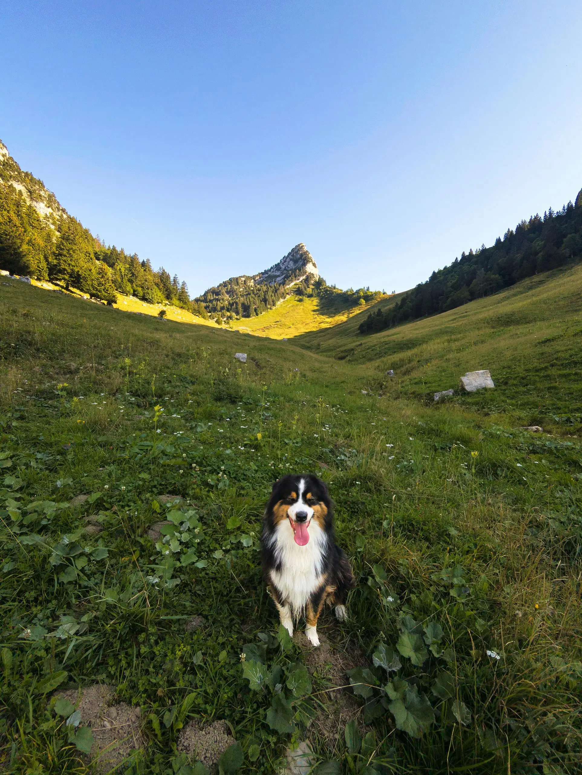
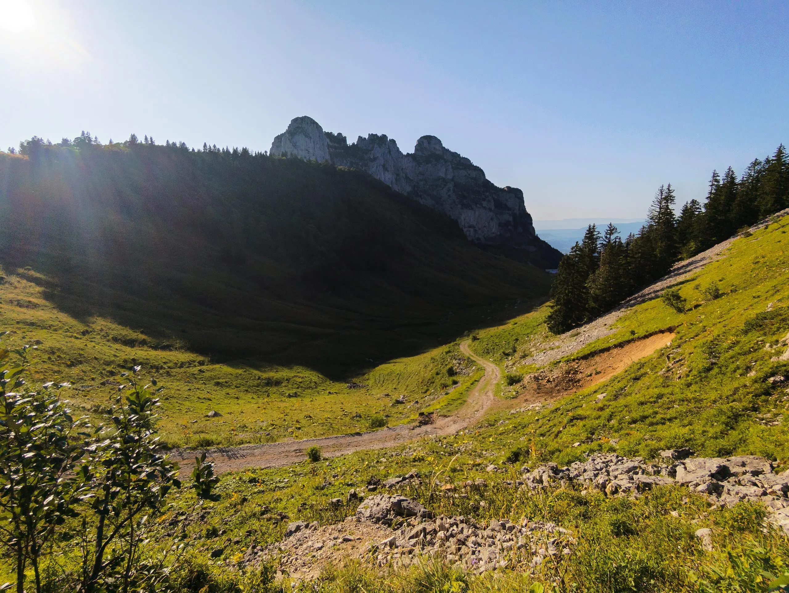
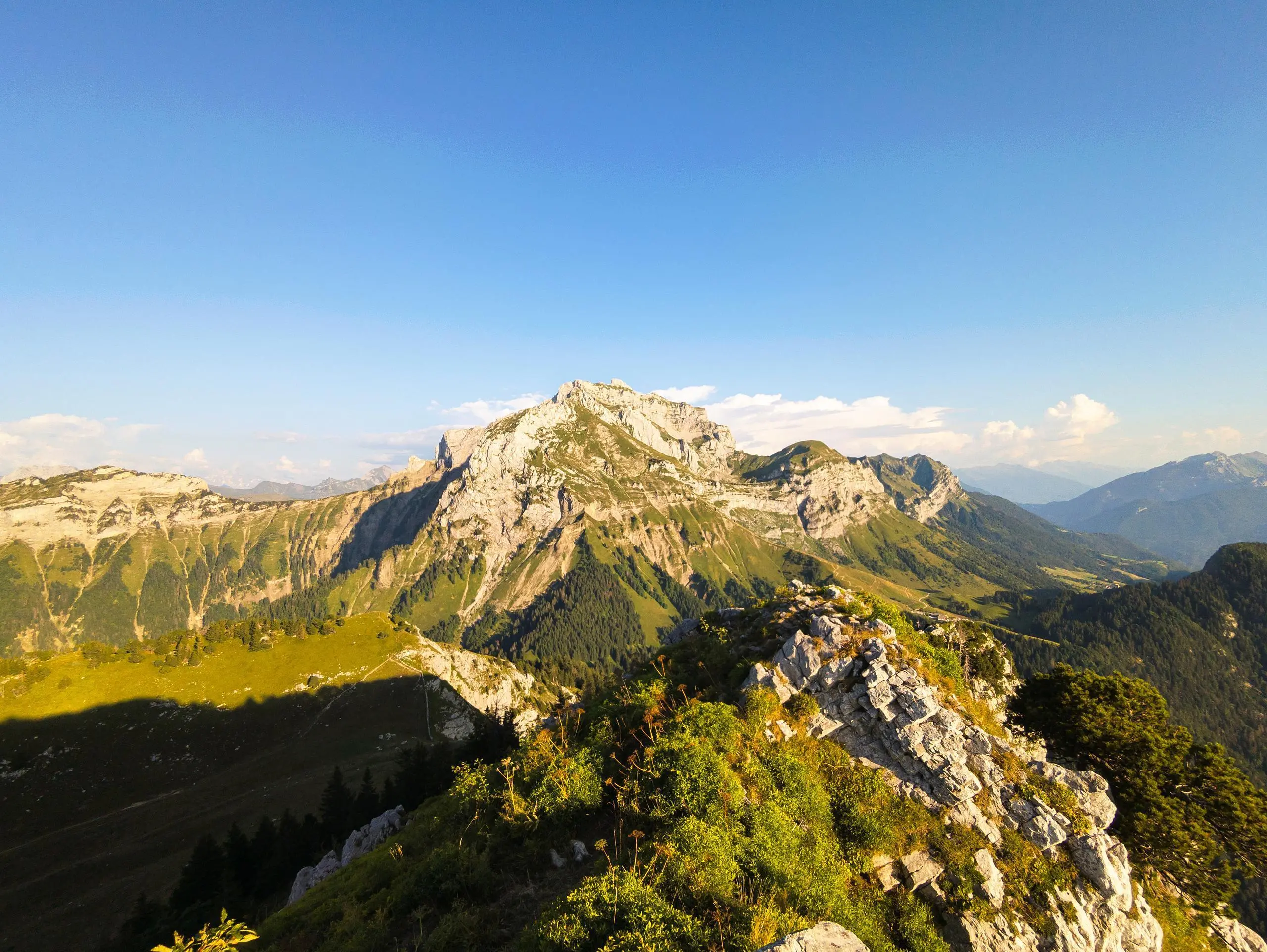
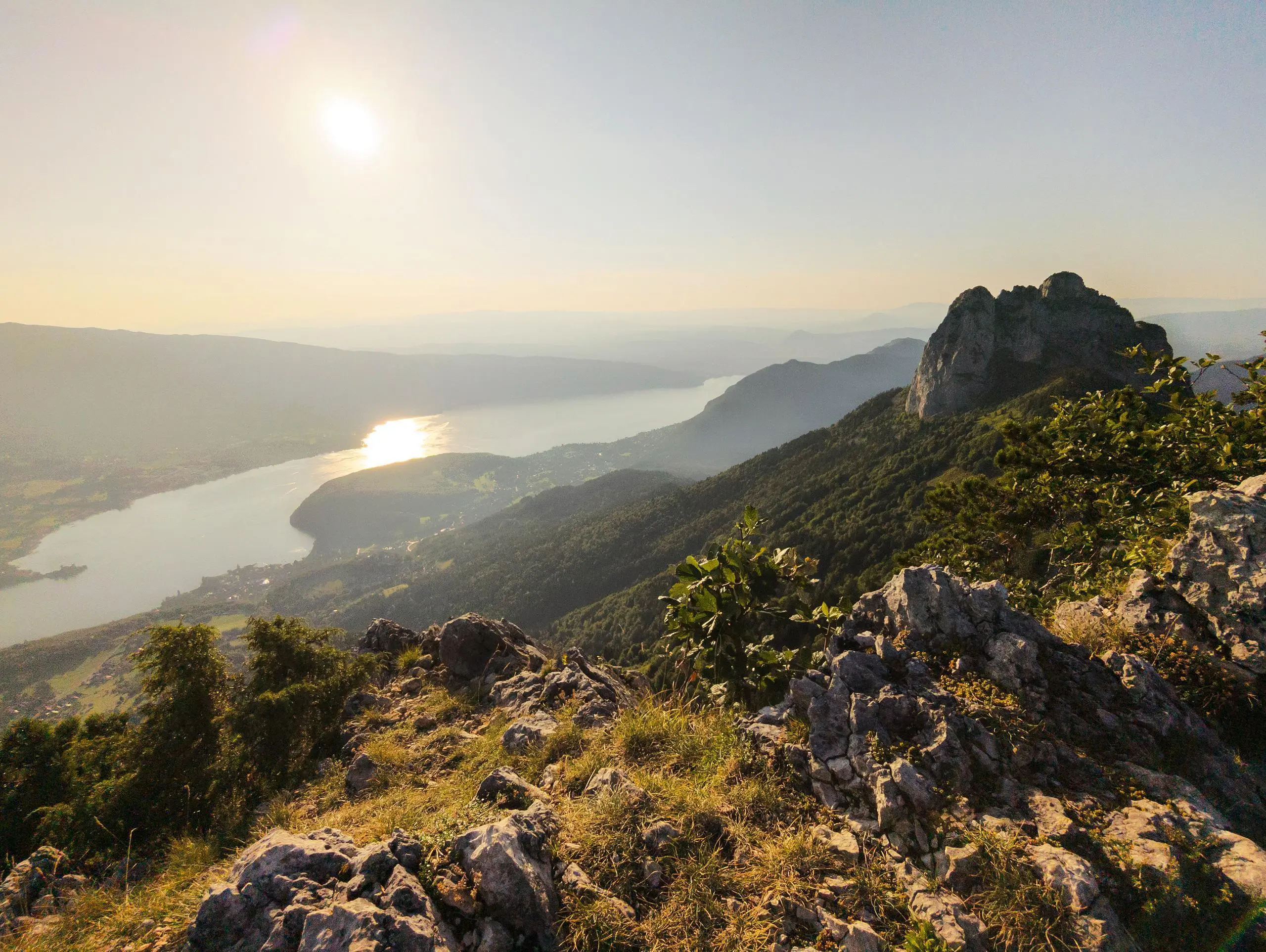
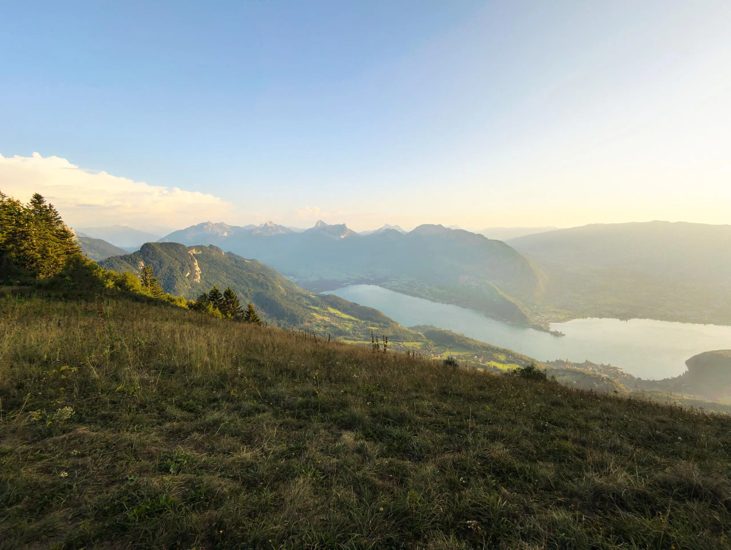
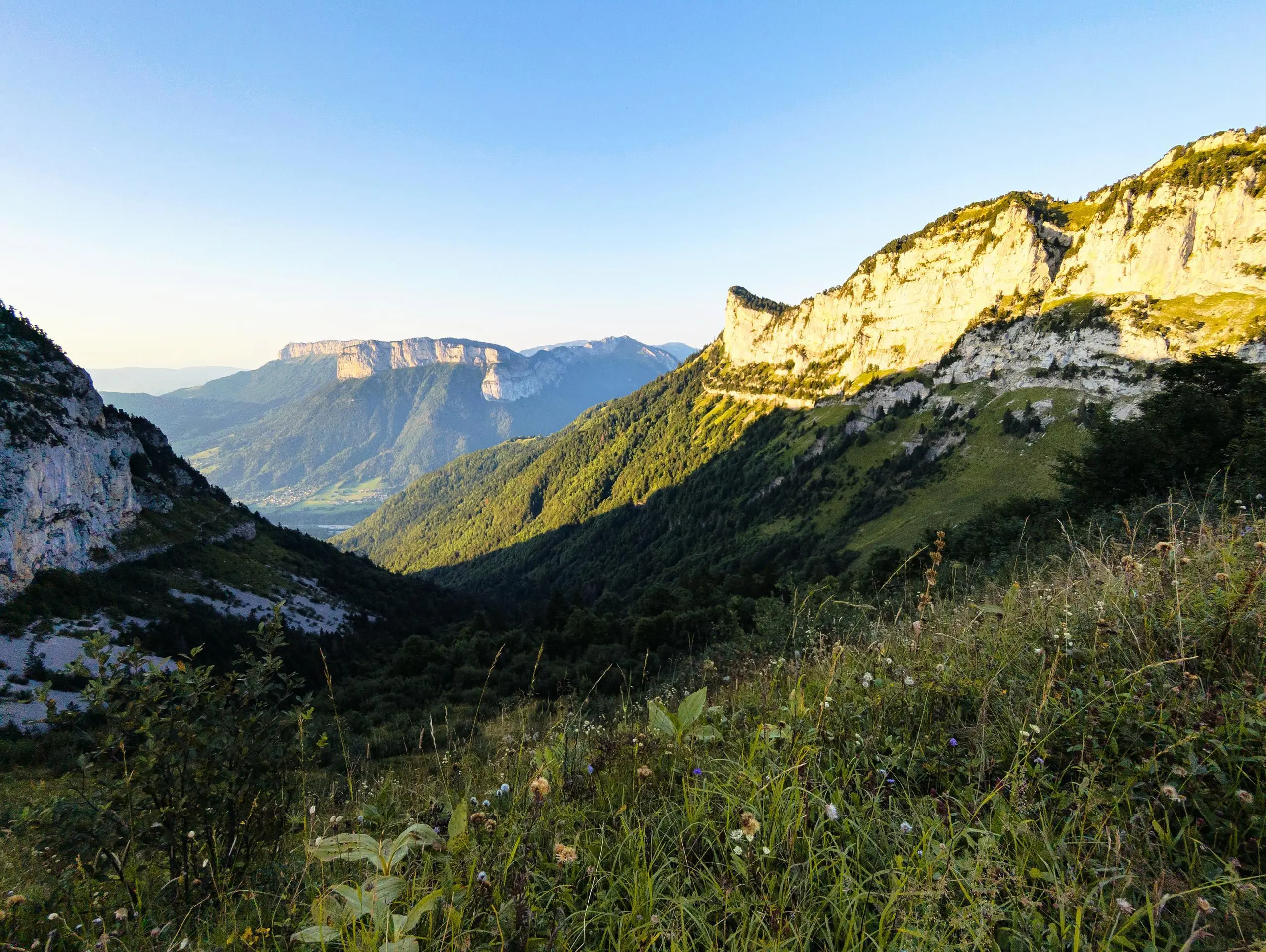
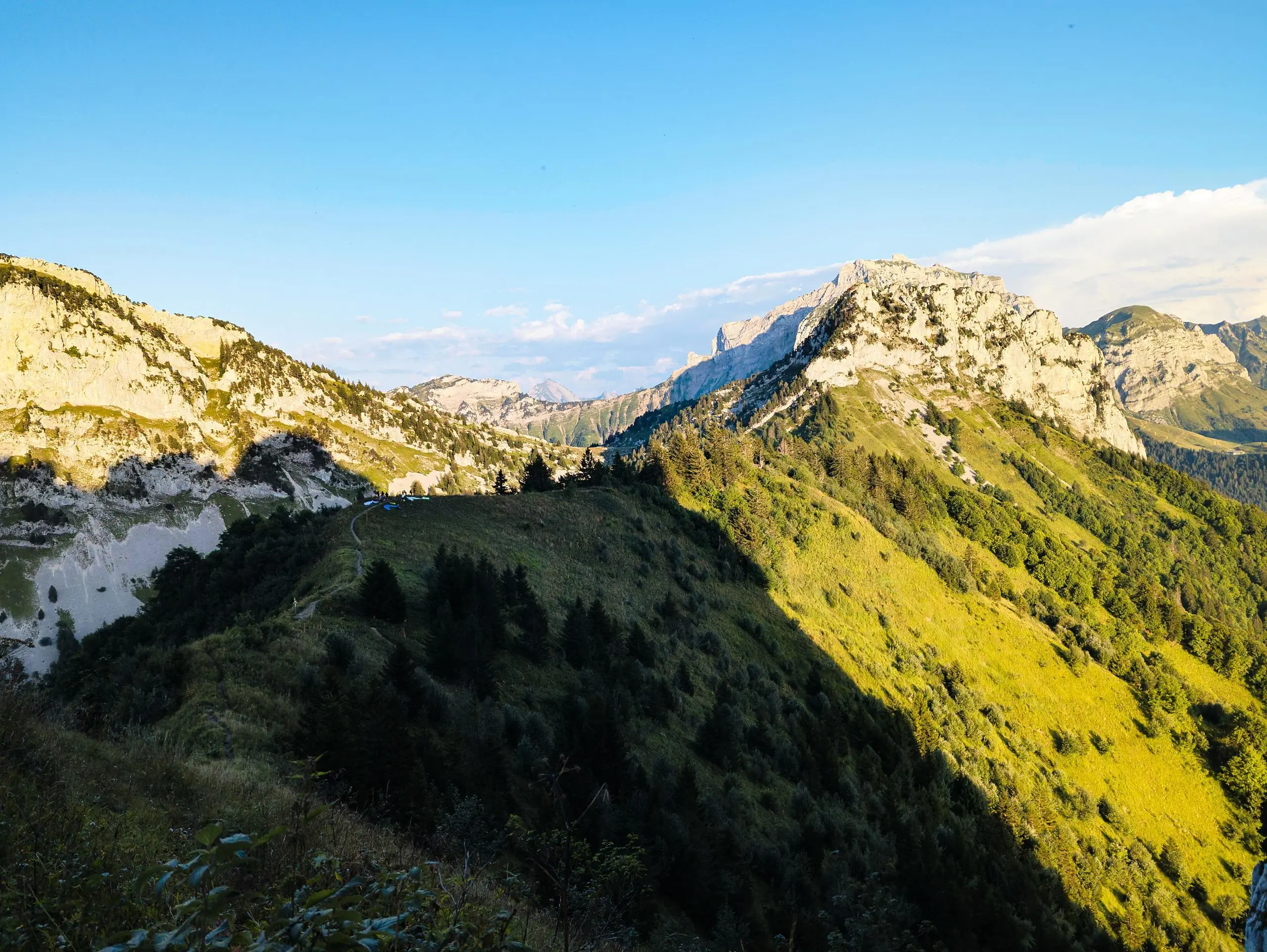
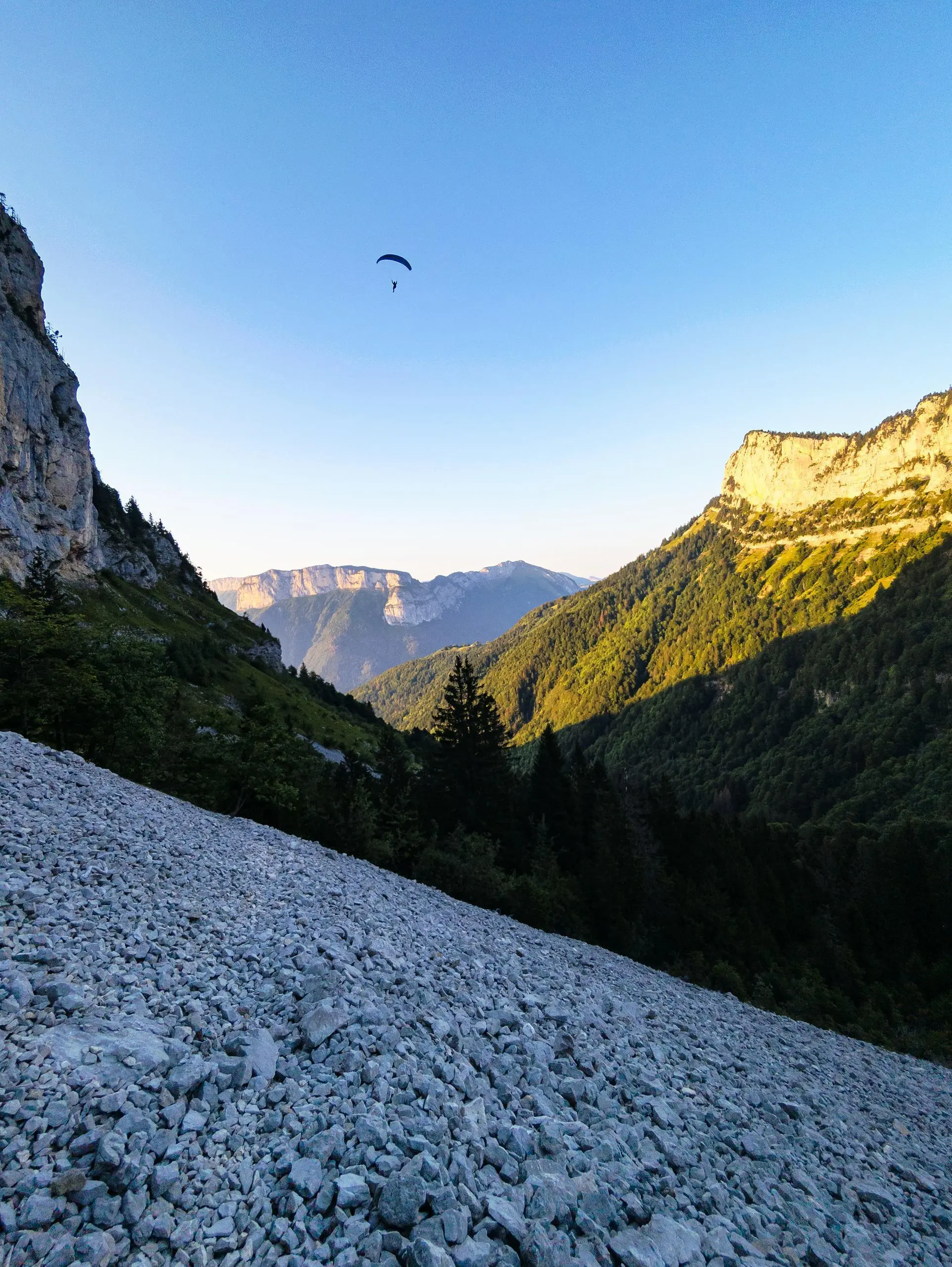
Park at the end of the road at Villard Dessus in Alex. Simply follow the forest path to the chalet at l'Aulp Riant Dessous and then l'Aulp Riant Dessus (beware of herds, but do not let them wander). At the second chalet, turn right to reach the edge of the mountain, then right for a final short climb to Roche Muraz. Enjoy the beautiful view of Lake Annecy and La Tournette. To return, either take the same path or go left. However, this path is steep and very stony, making it easy to slip. Finally, take the forest road back to the parking lot.

(Description automatically translated)

Route profile

3671ft
Elevation +
3681ft
Elevation -
2605ft
Min altitude
5807ft
Max altitude

How to get there

Route starting point: Voie Communale Des Greppons, 74290 Alex

GPS coordinates of the starting point: 45.87831, 6.23677 / 45°52'41'' N, 6°14'12'' E