MapPlanner
5.021mi
Distance
2h20m
Duration
+2329ft
Elevation gain
-2297ft
Elevation loss
Moderate
Level

Le belvédère de la Pierre Taillée - Usillon

Route details

2.42mph
Speed
1127 kcal
Calories burned
17.4%
Avg grade
Loop trail
Route type
2562ft
Min altitude
4780ft
Max altitude
Steep climb

This hiking trail covers 5.021mi starting from Fillière, Haute-Savoie. The hike is a loop trail and returns to the trailhead. This hike is rated as moderate, plan for about 2h20m to complete it. The route has an elevation gain of 2329ft and an elevation loss of 2297ft.

Description of the route by the creator

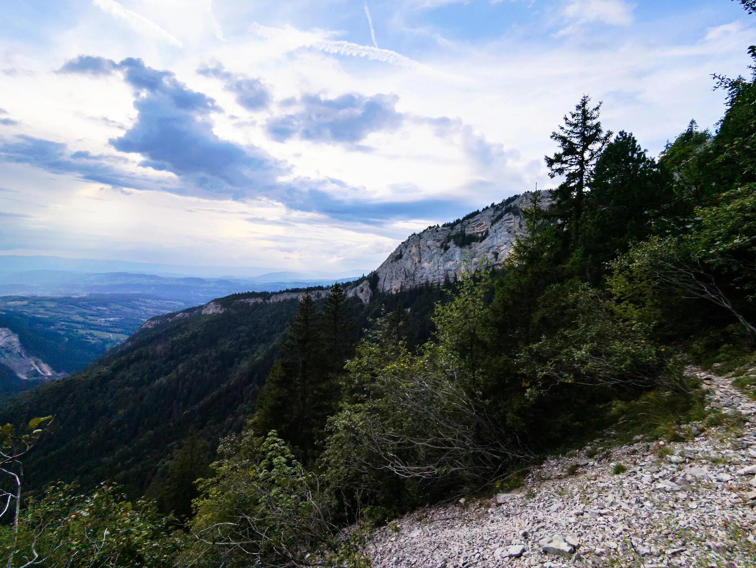
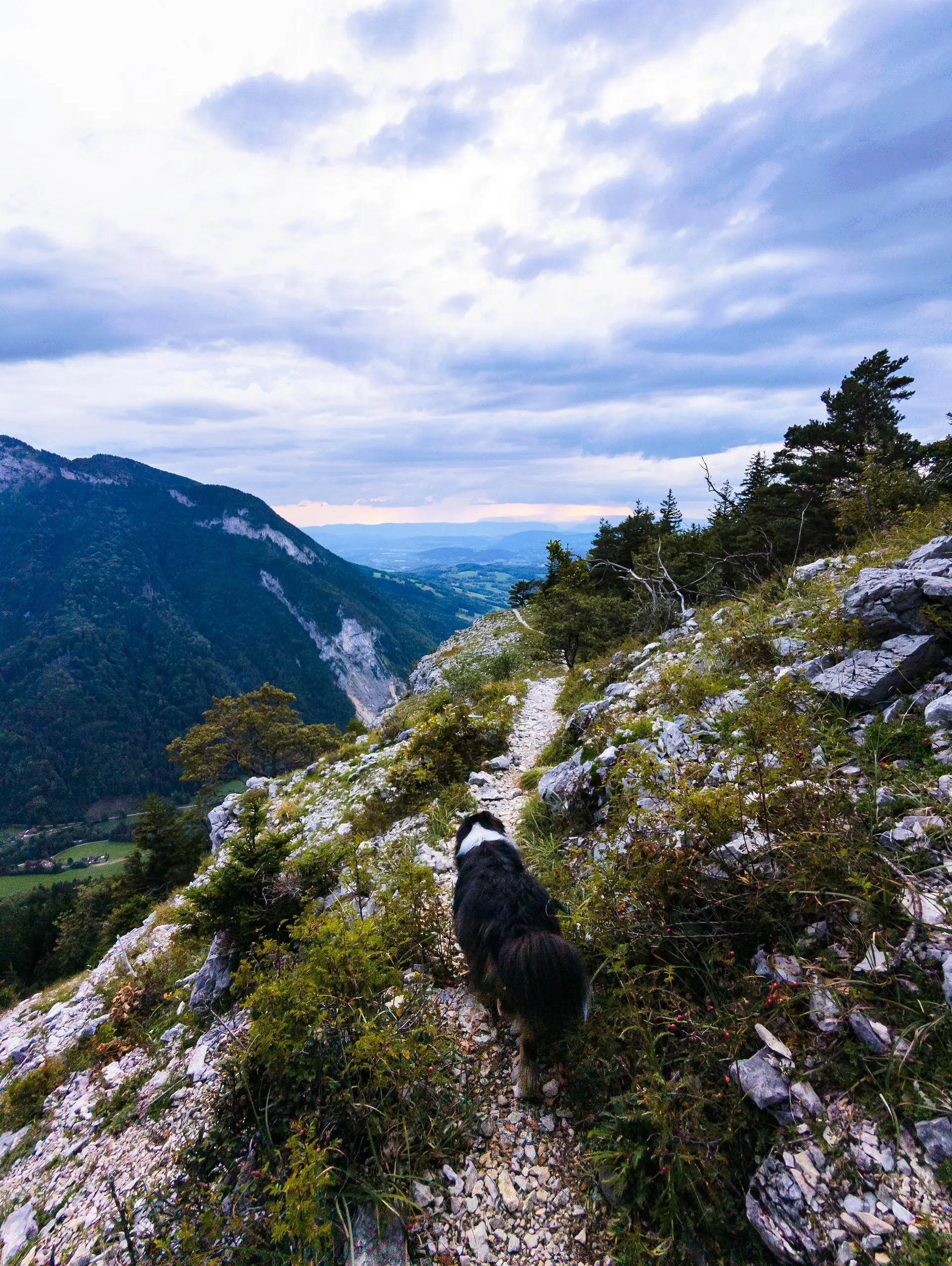
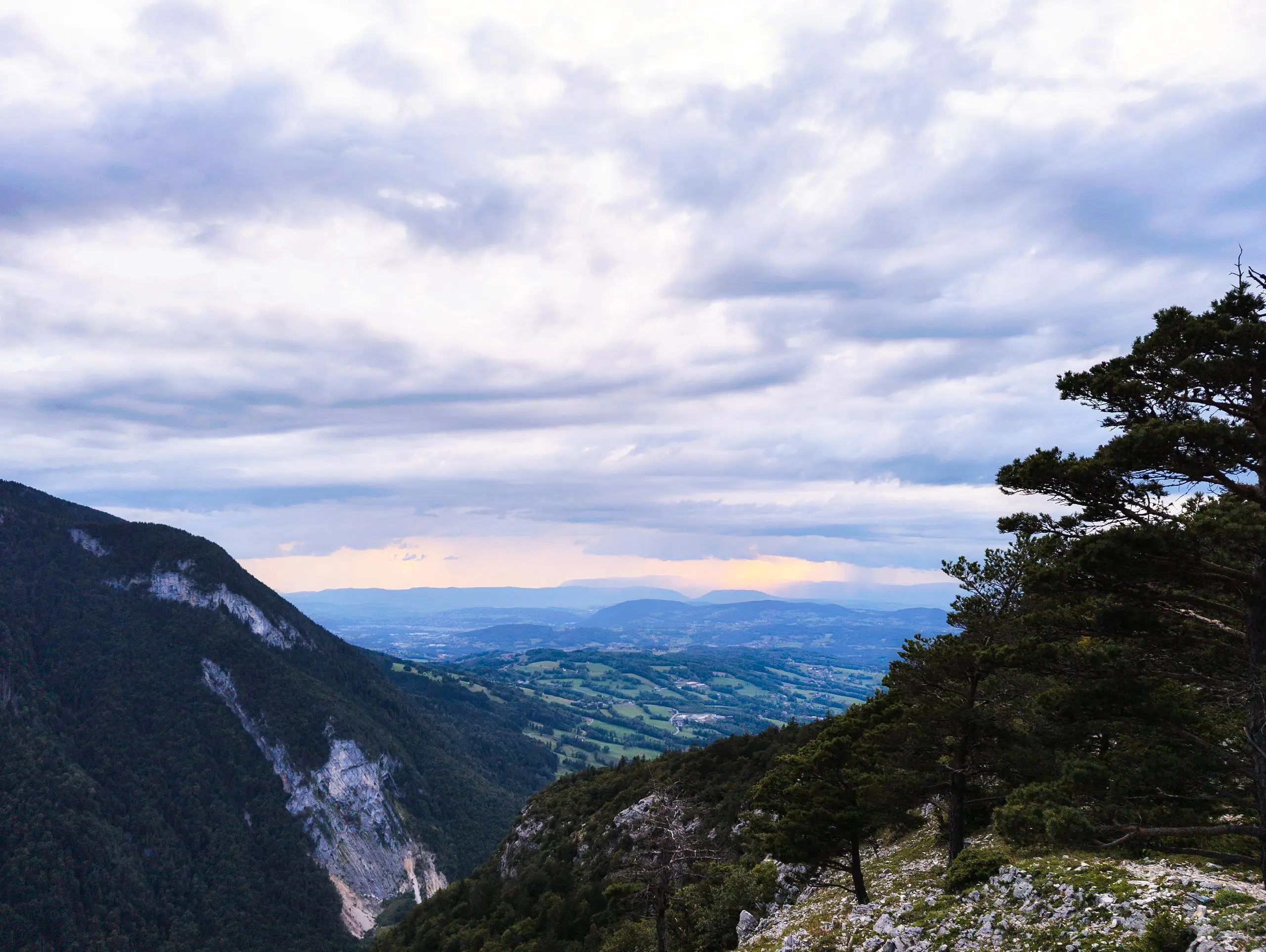
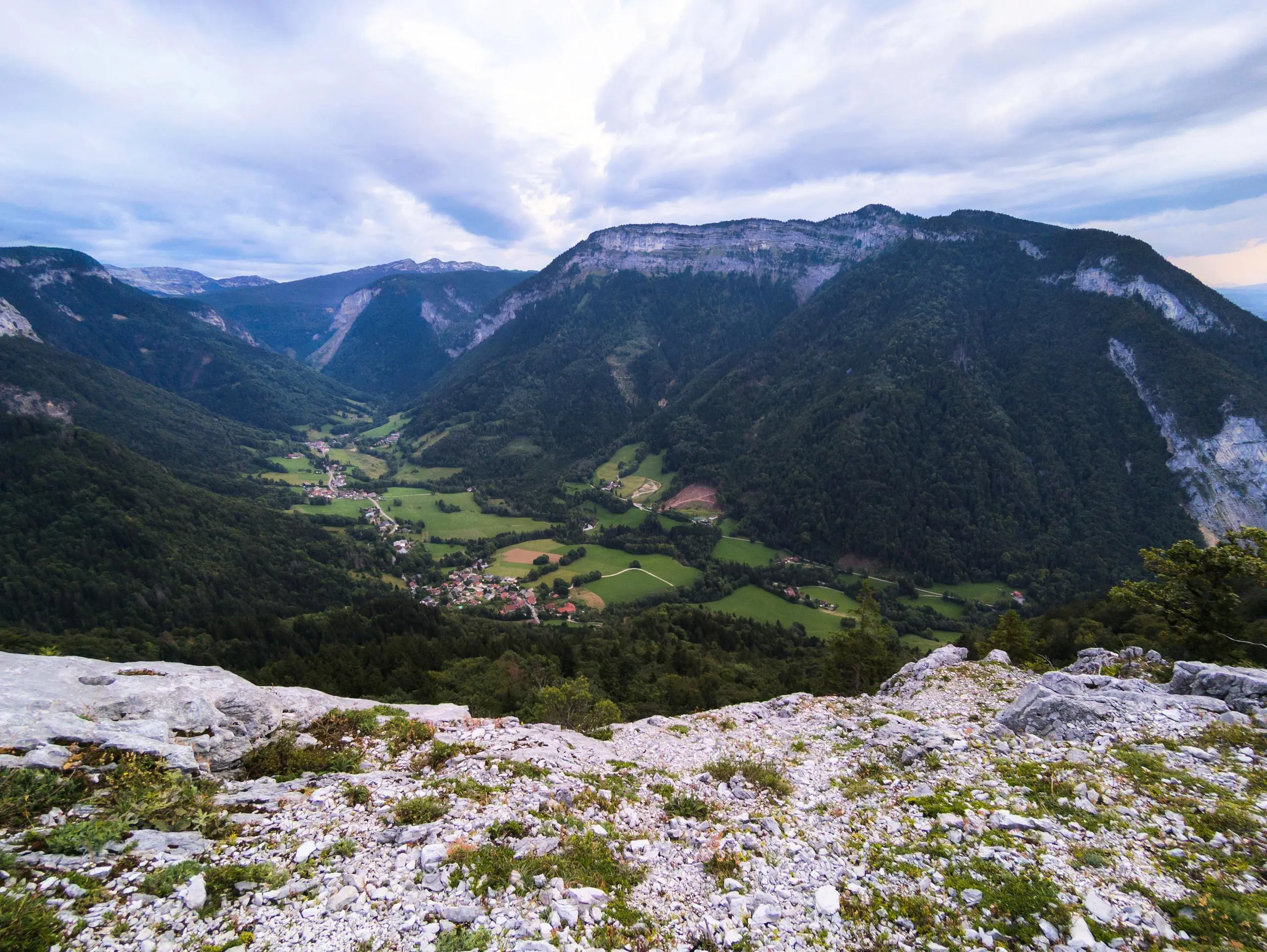
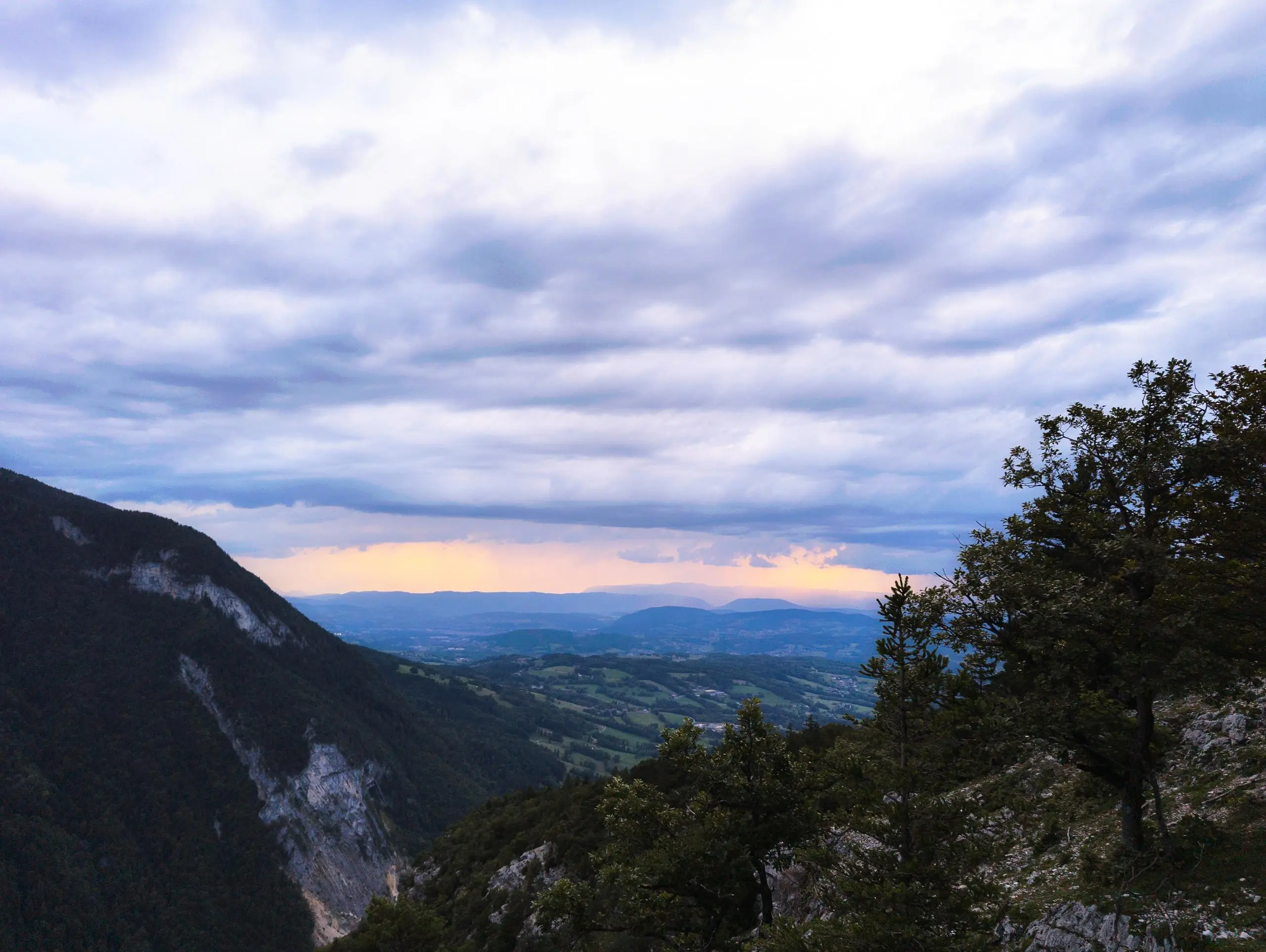
Intermediate hike with beautiful views of the Glières plateau mountains. Park in the small village of Usillon (beware, there is little space in the village). The trail is well-marked and easy to follow, and in several places there are signs pointing the way. Make a loop to reach the Pierre Taillée belvedere, which offers a beautiful view over the plain and the back of the Parmelan and the Plateau des Glières.

(Description automatically translated)

Route profile

2329ft
Elevation gain
2297ft
Elevation loss
2562ft
Min altitude
4780ft
Max altitude

How to get there

Trailhead: 23 Chemin De Landron, 74570 Fillière, France

GPS coordinates of the trailhead: 45.98441, 6.2808 / 45°59'3'' N, 6°16'50'' E

Caution: May Cross Private Property

This route may pass through or near private property. Always respect posted signs, obtain permission where required, and follow local trespassing laws. MapPlanner does not guarantee public access along any route.

Safety Notice

Trail and road conditions may change without notice due to weather, construction, or other factors. Always verify current conditions before heading out. You are responsible for your own safety — follow local signage, obey traffic laws, and use your best judgment on the trail.