MapPlanner
6.999mi
Distance
4h11m
Duration
+3222ft
Elevation gain
-3205ft
Elevation loss
Hard
Level

Le Signal - Parmelan par le col du Pertuis

Le chalet du Pertius
Arrival at Col du Pertius
At the top of the signal
The Parmelan in the background
View of the Arpettaz head
The Parmelan just before the finish

Route details

1.86mph
Speed
2015 kcal
Calories burned
17.4%
Avg grade
Loop trail
Route type
3451ft
Min altitude
5863ft
Max altitude
Steep climb

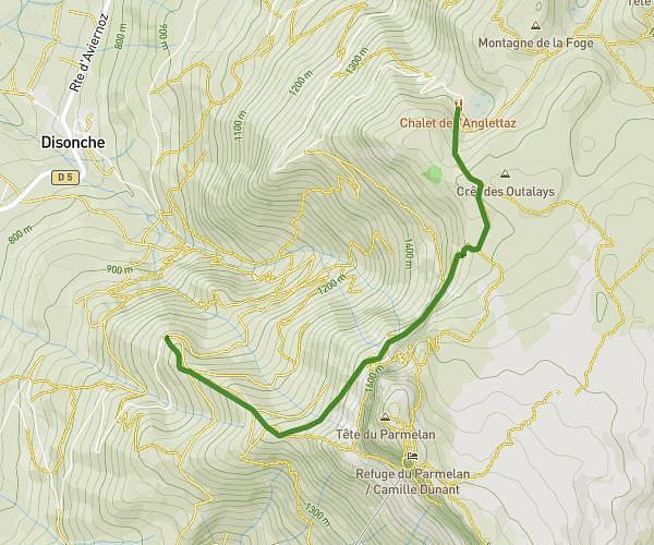
This hiking trail covers 6.999mi starting from Dingy-Saint-Clair, Haute-Savoie. The hike is a loop trail and returns to the trailhead. This hike is rated as hard, plan for about 4h11m to complete it. The route has an elevation gain of 3222ft and an elevation loss of 3205ft.

Description of the route by the creator

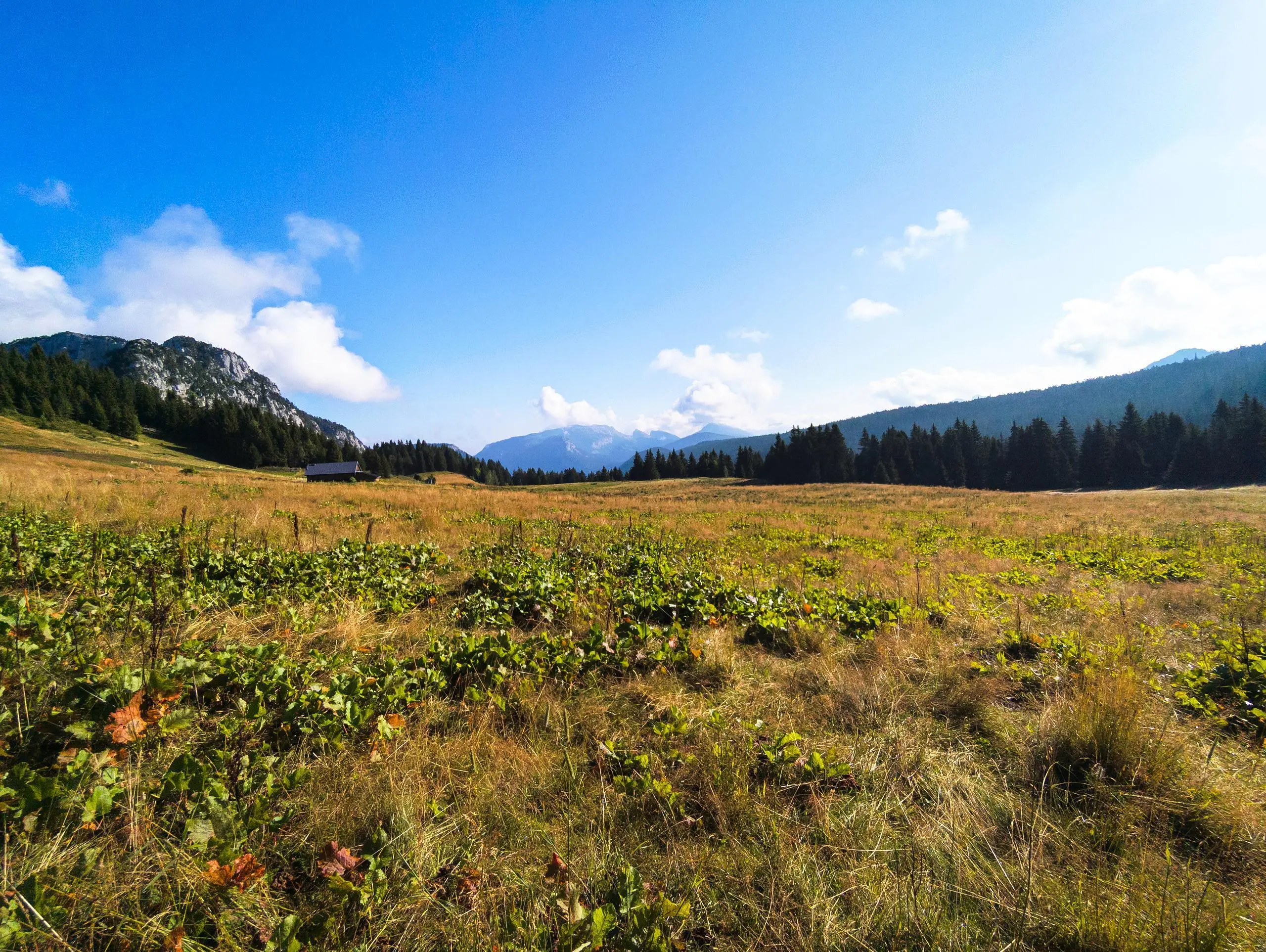
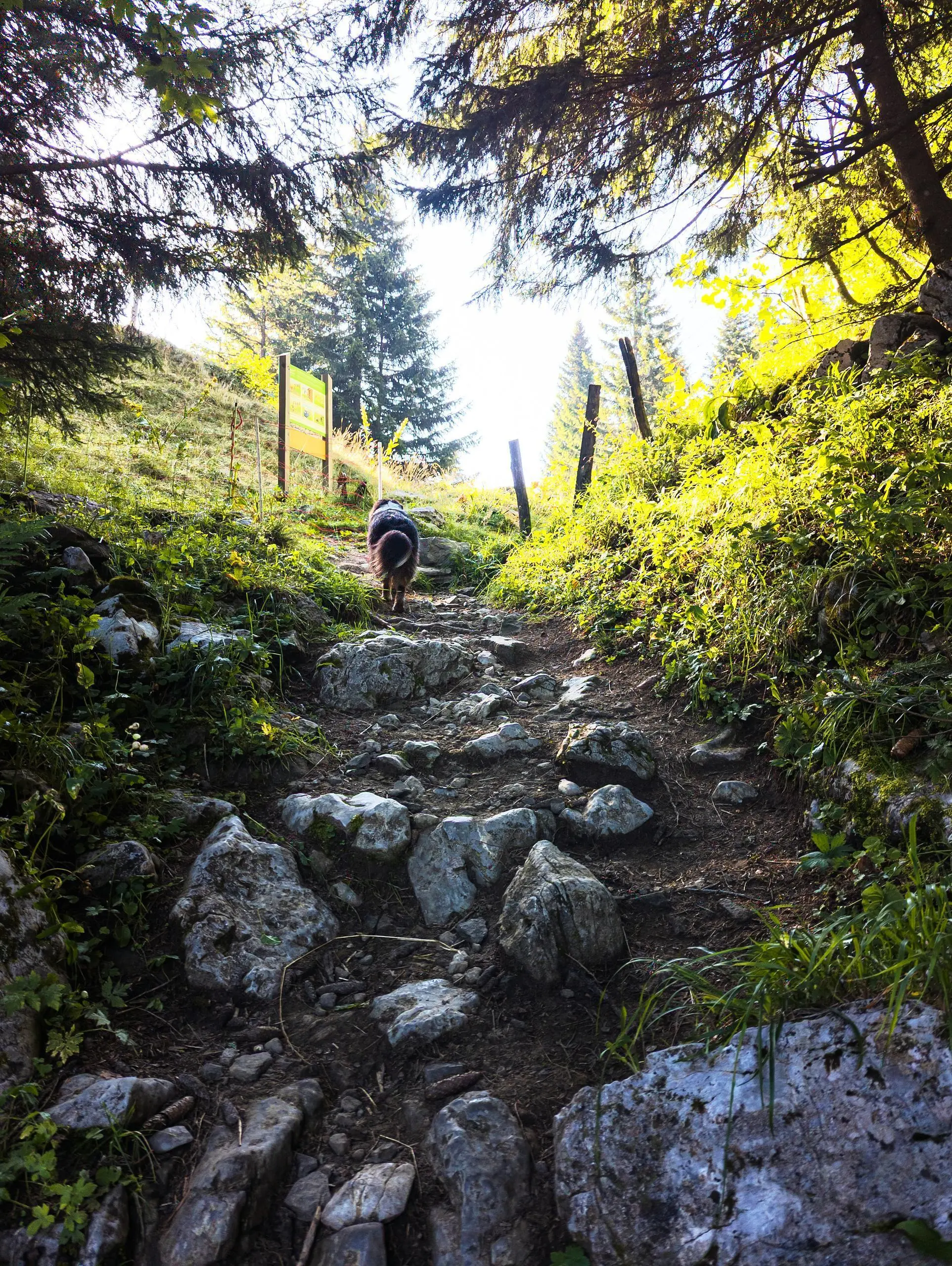
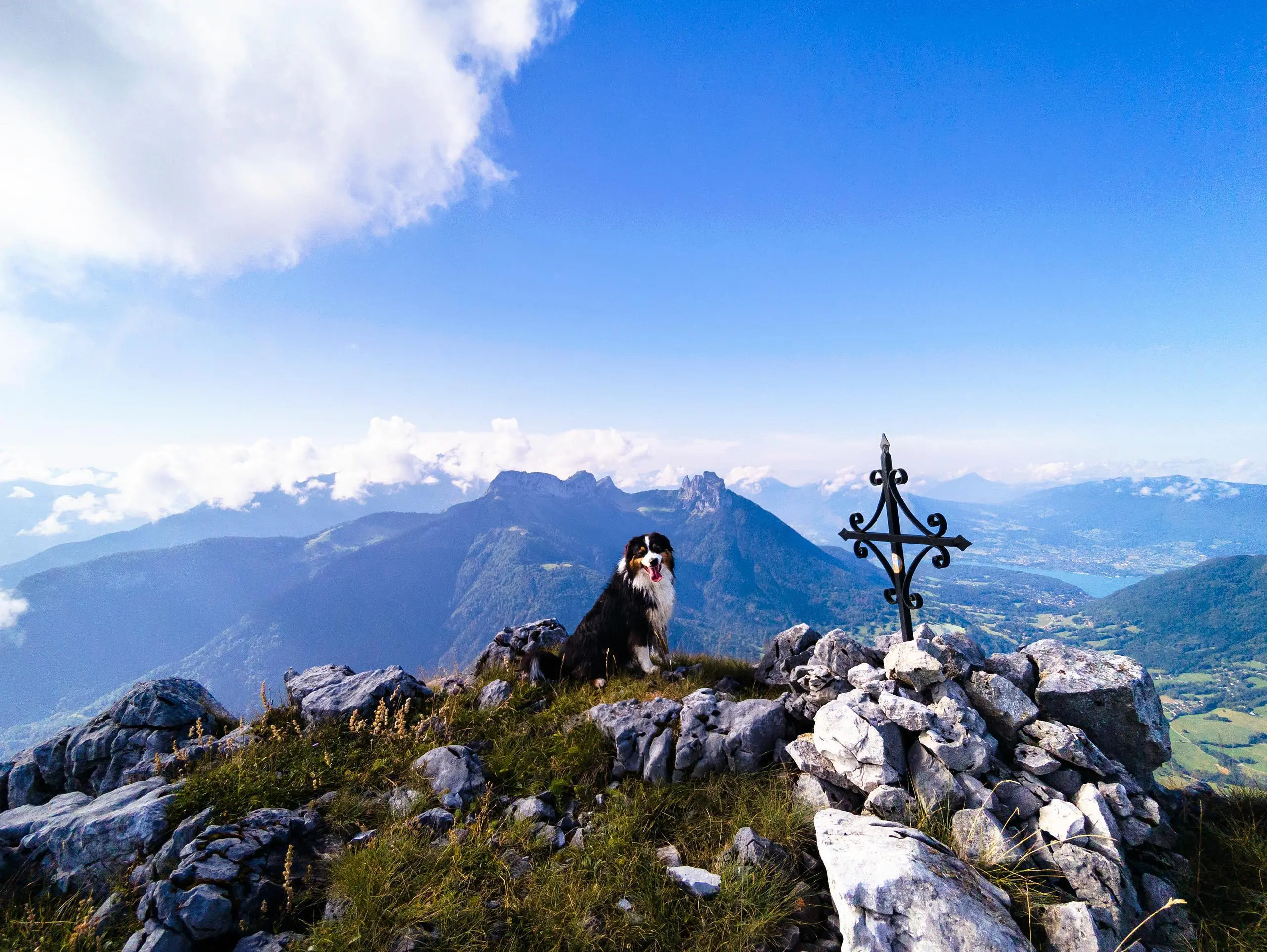
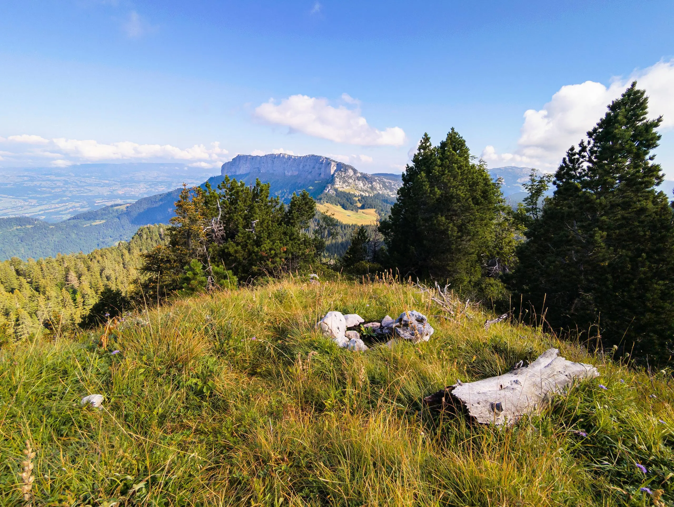
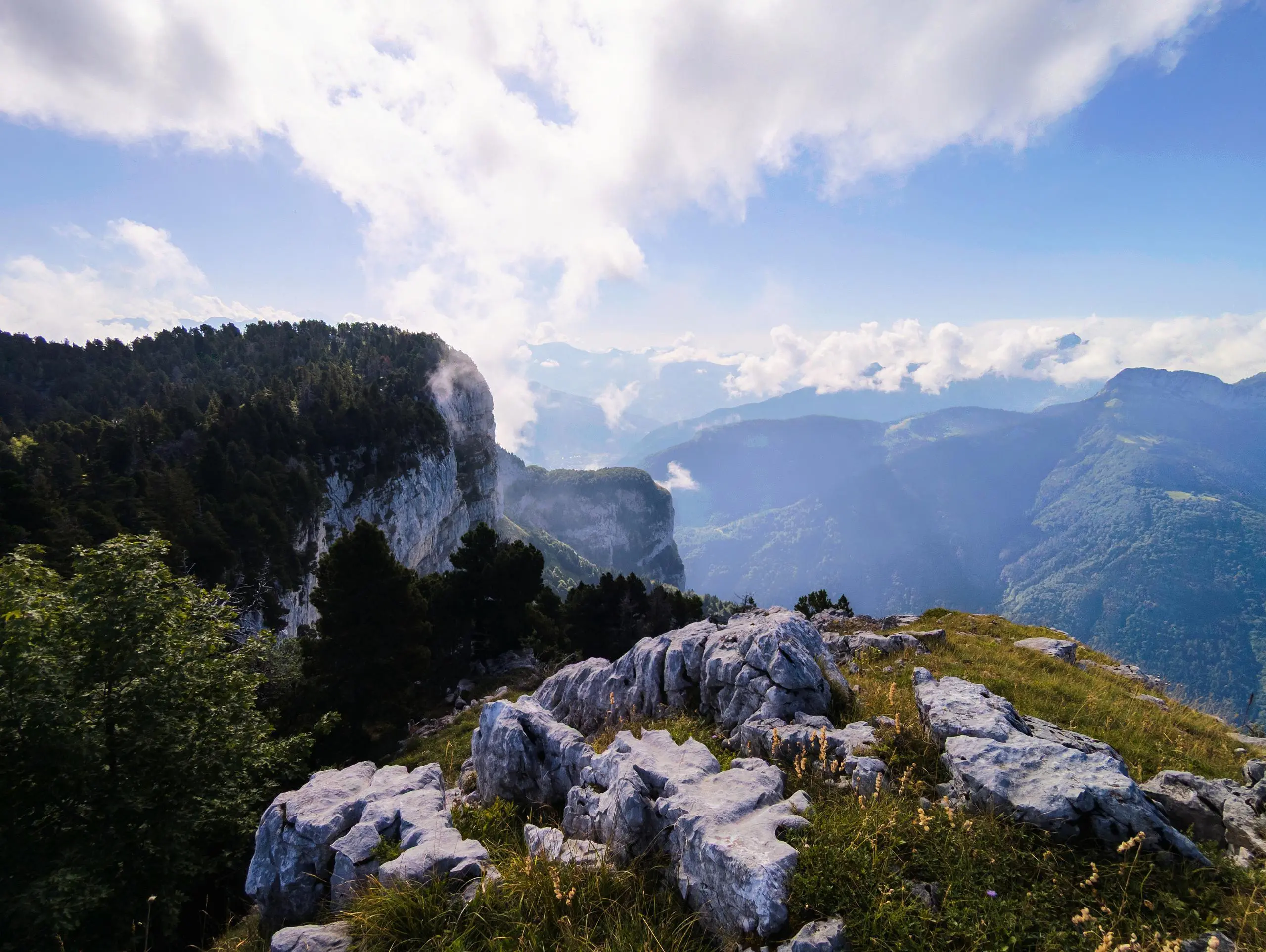
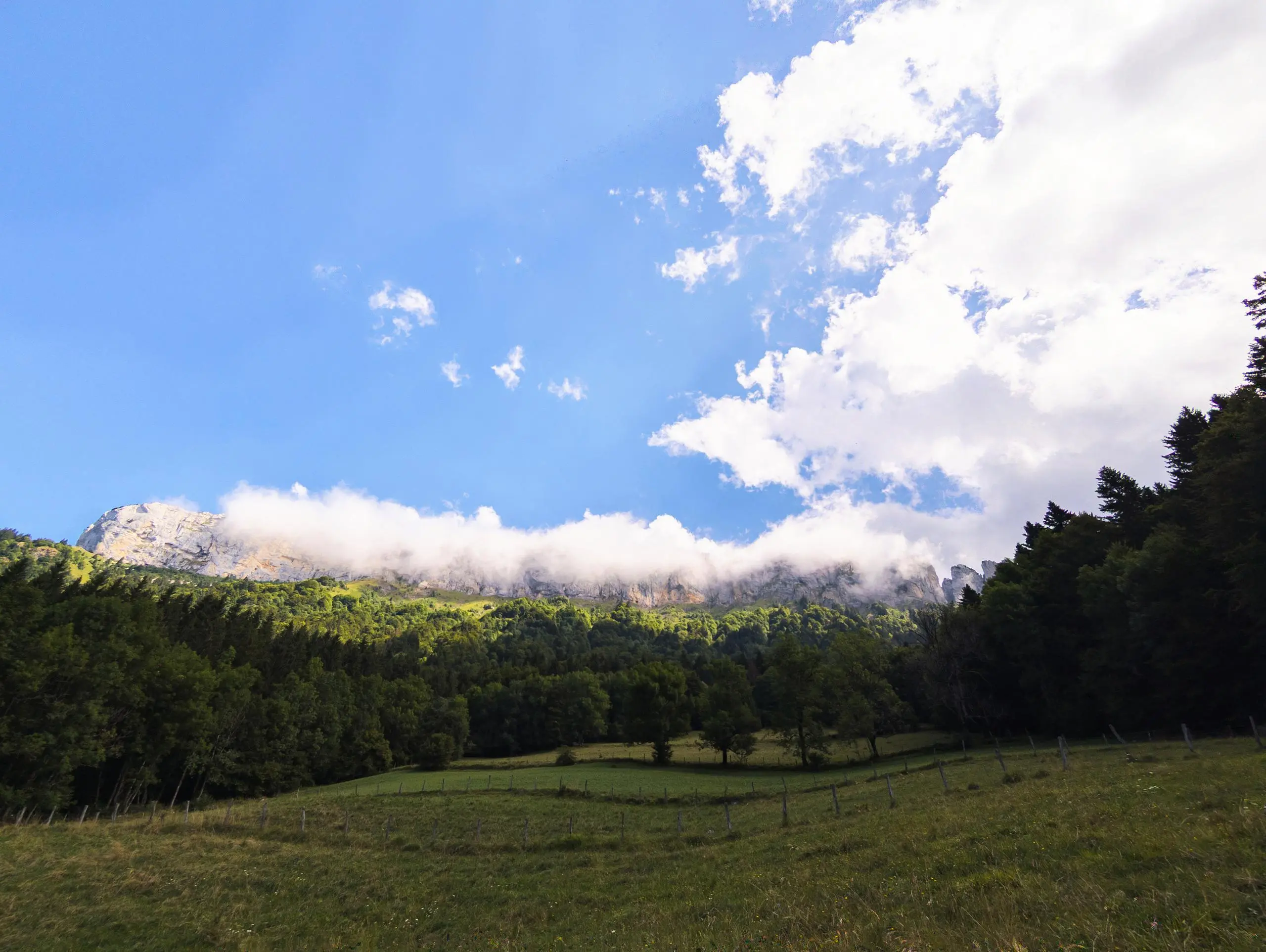
Park at the parking lot at the end of the road. The path begins across the field, continuing in the direction of the road. Continue straight ahead to reach the signs for Col de Pertuis. Once you've reached the pass, turn left and pass the chalet du Pertuis, where the path continues through the woods. There are no signs, but ground markings on the rocks indicate the direction to follow. Be careful, there are several slippery lapiaz passages. The final climb to the Signal follows the edge of the cliff. For the return, either continue along the cliff (but longer) or return along the same path, following the blue markings. It's easy to get lost, so follow the signs on the ground or on the trail.

(Description automatically translated)

Route profile

3222ft
Elevation gain
3205ft
Elevation loss
3451ft
Min altitude
5863ft
Max altitude

How to get there

Trailhead: 5020 Route De La Blonnière, 74230 Dingy-Saint-Clair, France

GPS coordinates of the trailhead: 45.9353, 6.23333 / 45°56'7'' N, 6°13'59'' E

Caution: May Cross Private Property

This route may pass through or near private property. Always respect posted signs, obtain permission where required, and follow local trespassing laws. MapPlanner does not guarantee public access along any route.

Safety Notice

Trail and road conditions may change without notice due to weather, construction, or other factors. Always verify current conditions before heading out. You are responsible for your own safety — follow local signage, obey traffic laws, and use your best judgment on the trail.