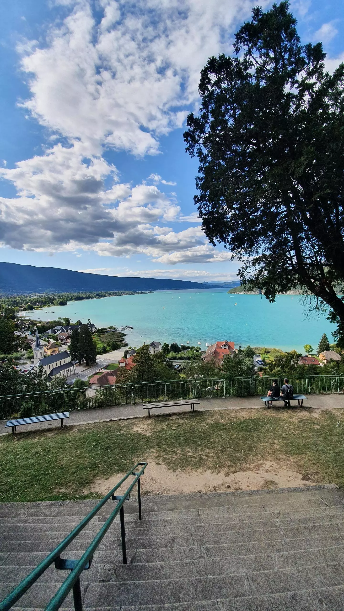
MapPlanner
1.996mi
Distance
2h
Duration
1.0mph
Speed
909ft
Elevation gain
915ft
Elevation loss
1473ft
Min altitude
2136ft
Max altitude
Easy
Level

Le Taillefer

View on the lake during the ascent to the cave
View from Taillefer
View from Taillefer
View from the cave on the lake
Our Lady of the Lake Grotto

Route details

Explore this hiking route of 1.996mi starting from Duingt, Haute-Savoie. The hike is a loop and returns to the starting point. This hike is rated as easy, plan for about 2h to complete it. The route has an elevation gain of 909ft and an elevation loss of 915ft.

Description of the route by the creator

From the parking lot of Duingt, follow the signs to go to the cave of Notre-Dame du lac. Once at the cave, go back a little to the Taillefer to go up to the "Terres noires". Then go down by the path on the right to join the village again.

(Description automatically translated)

Route profile

909ft
Elevation gain
915ft
Elevation loss
1473ft
Min altitude
2136ft
Max altitude
Route information

How to get there

Route starting point: Rue De L'église, 74410 Duingt, France

GPS coordinates of the starting point: 45.82732, 6.2028 / 45°49'38'' N, 6°12'10'' E