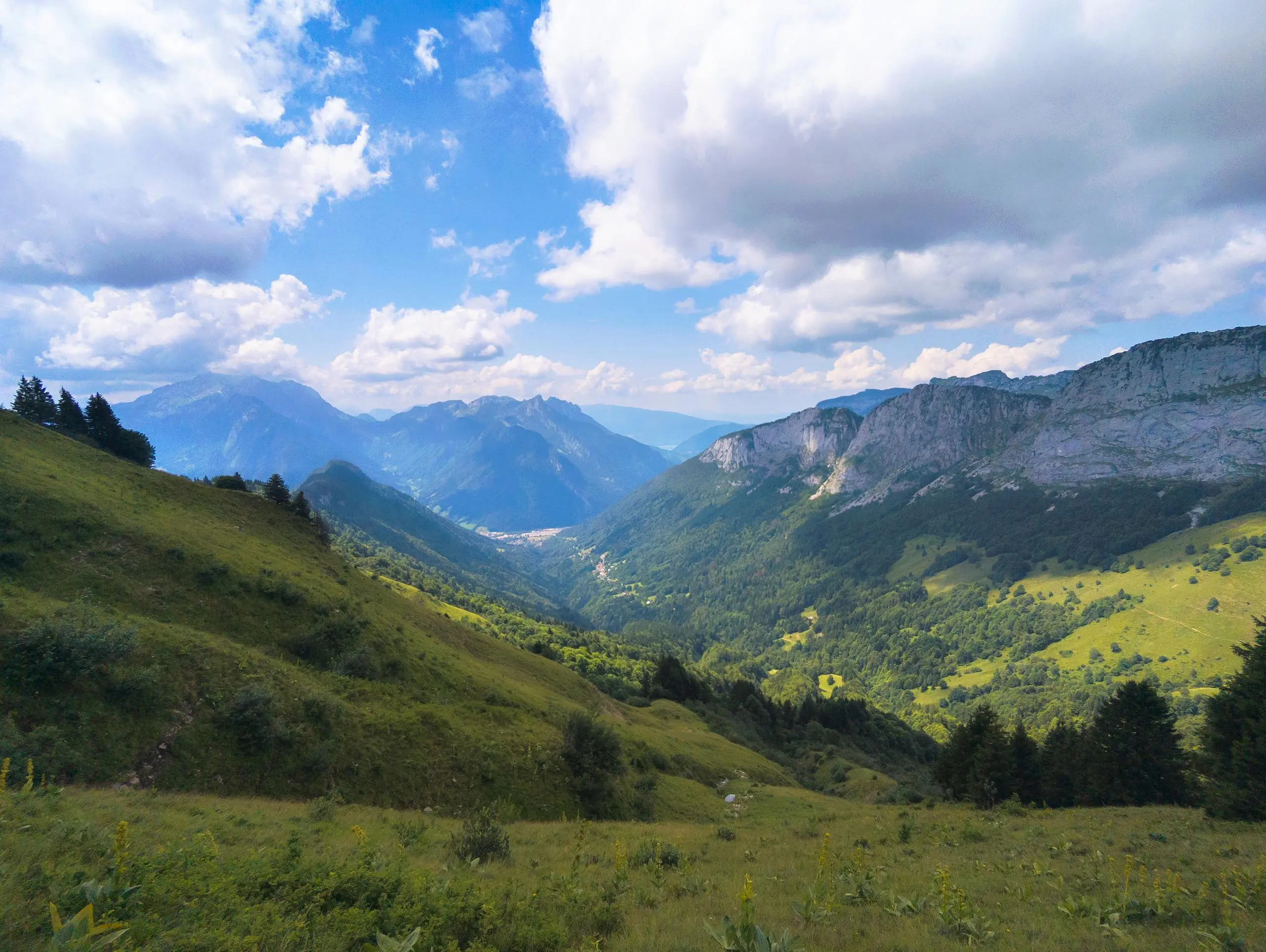
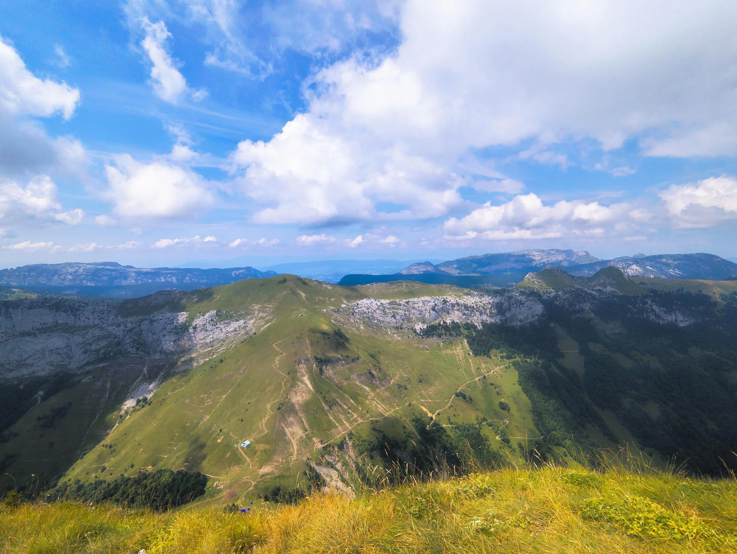
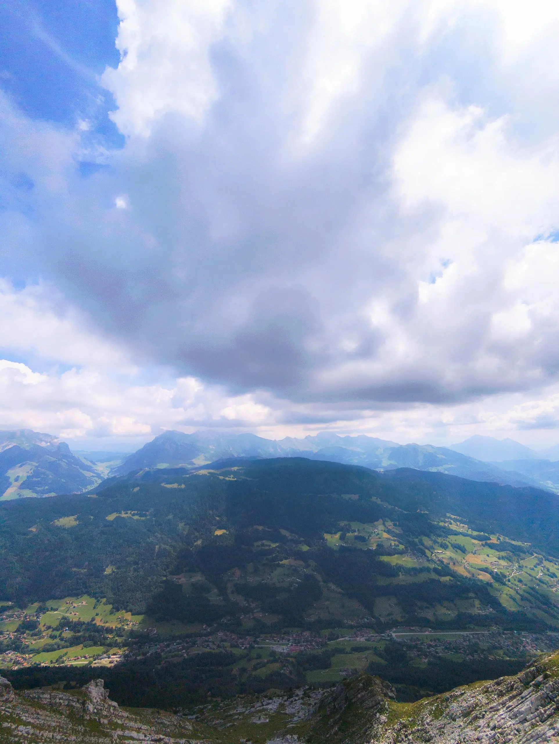
This hiking trail covers 5.823mi starting from Thônes, Haute-Savoie. The hike is a loop trail and returns to the trailhead. This hike is rated as strenuous, plan for about 3h31m to complete it. The route has an elevation gain of 3278ft and an elevation loss of 3451ft.
Description of the route by the creator
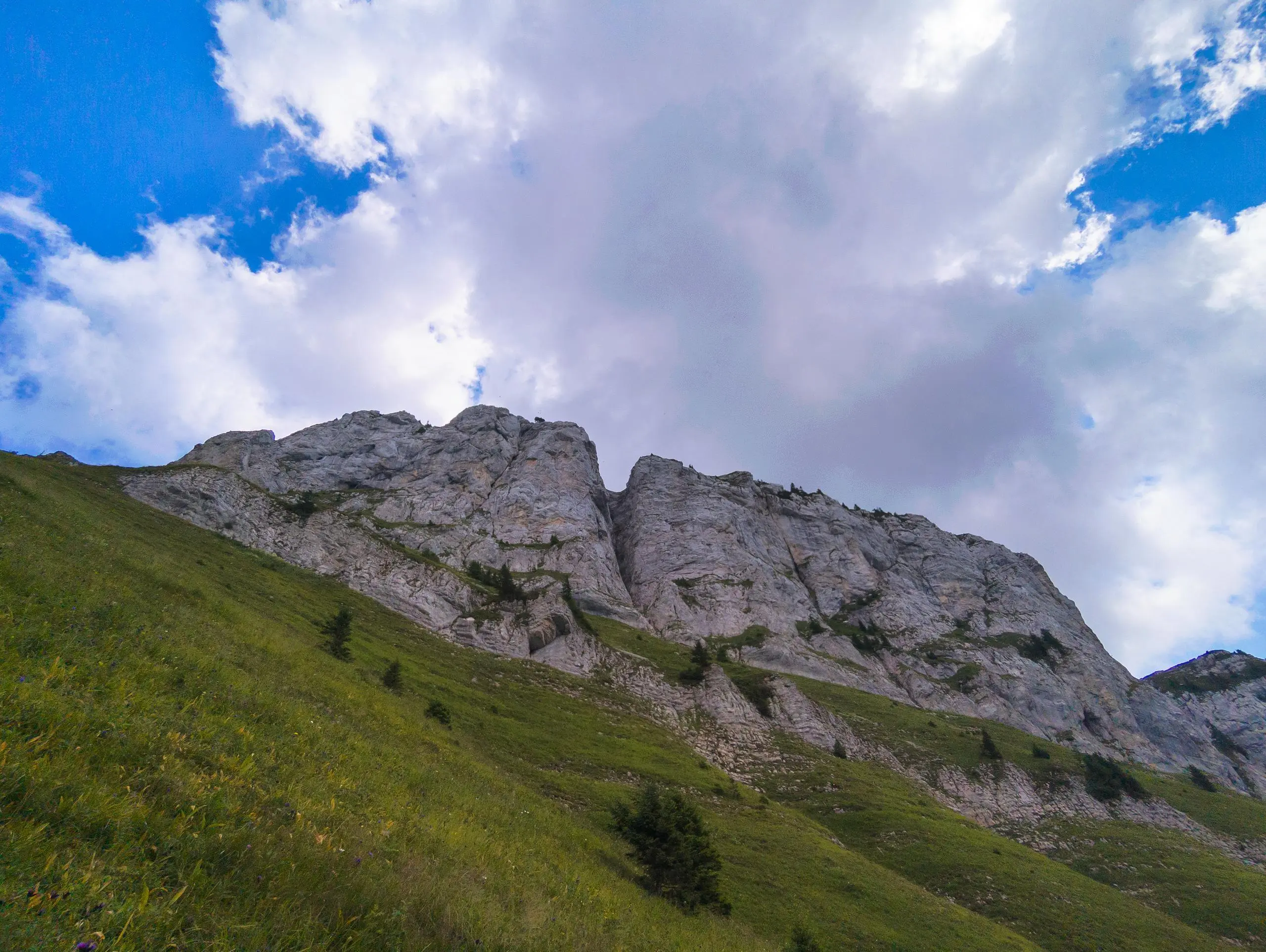
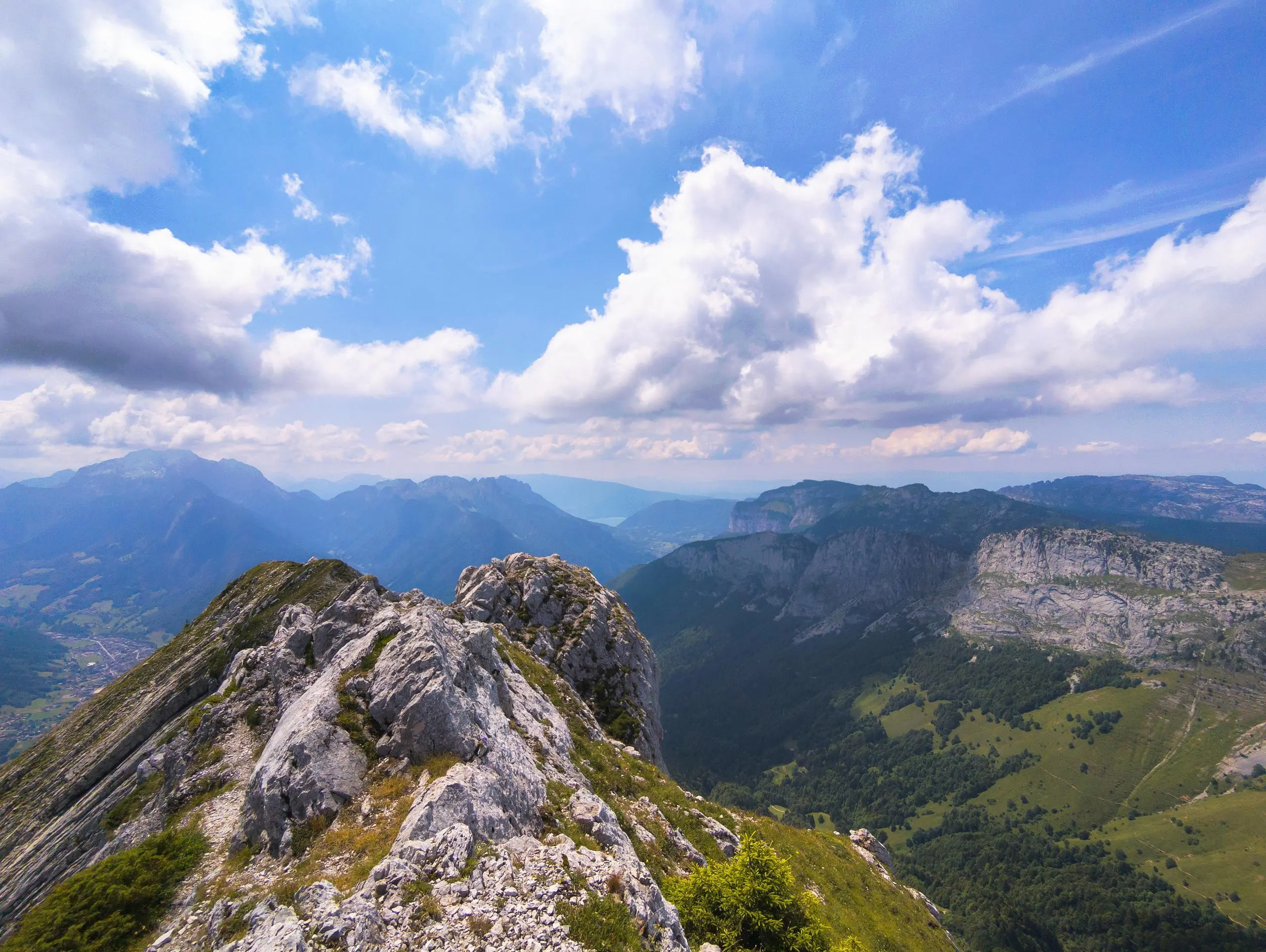
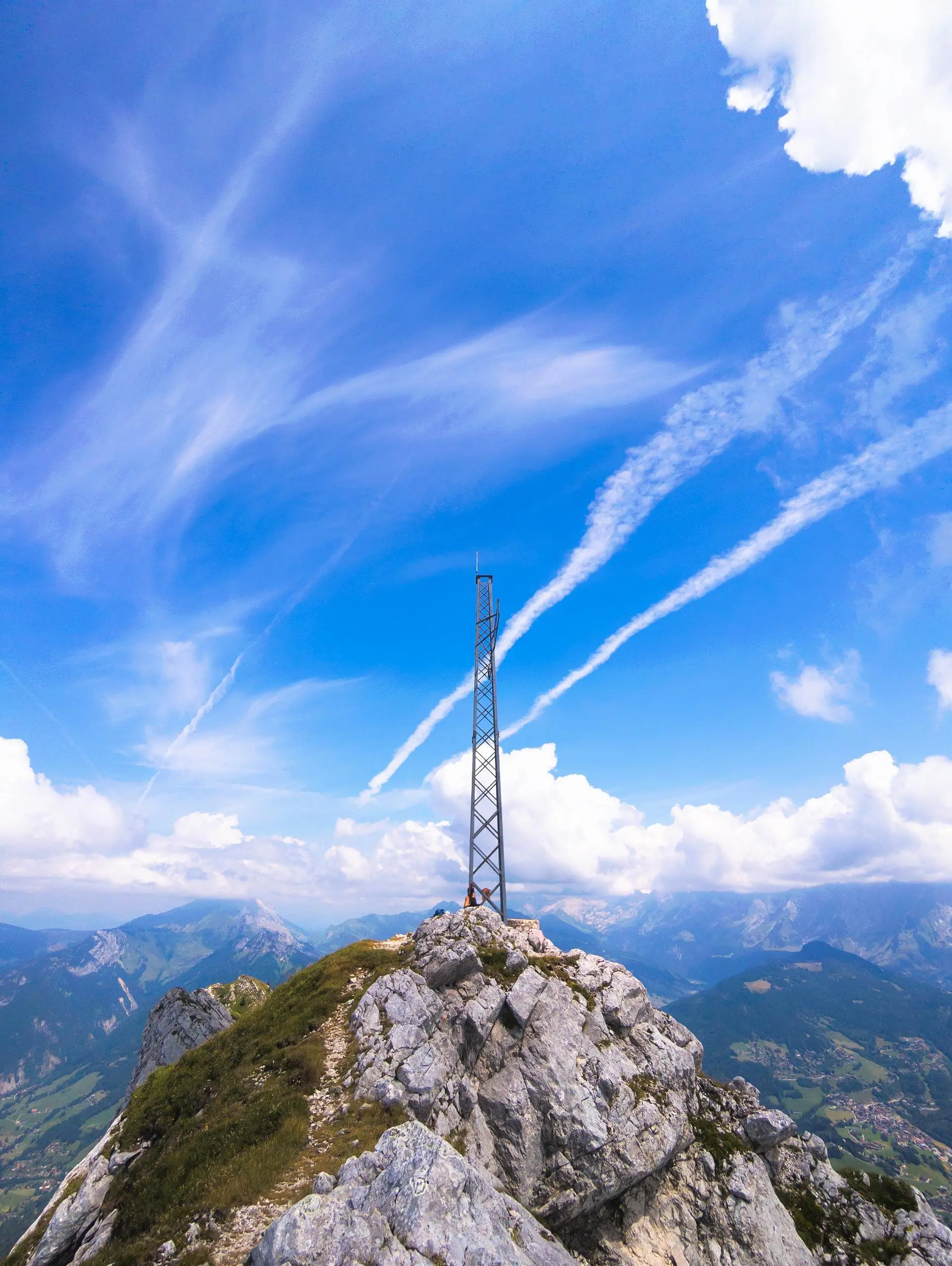
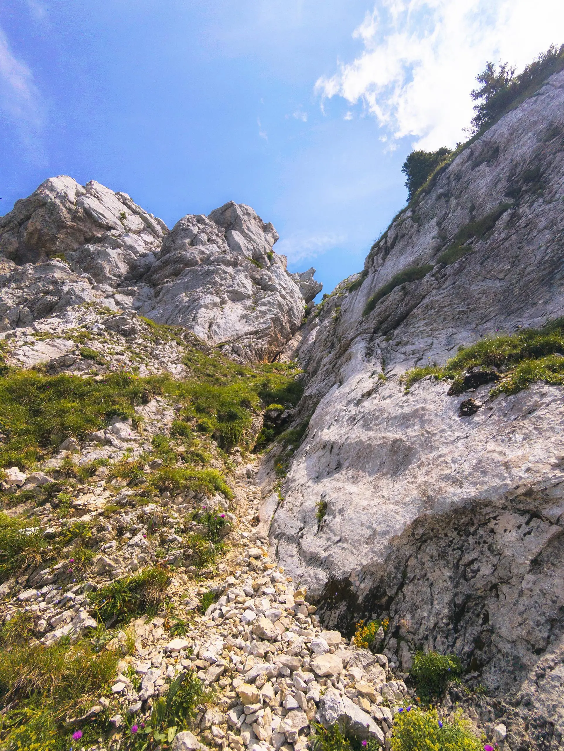
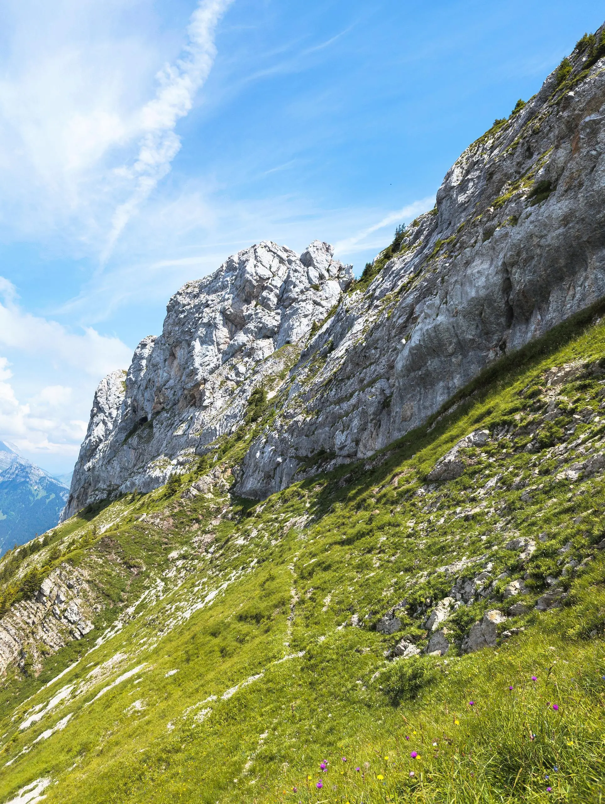
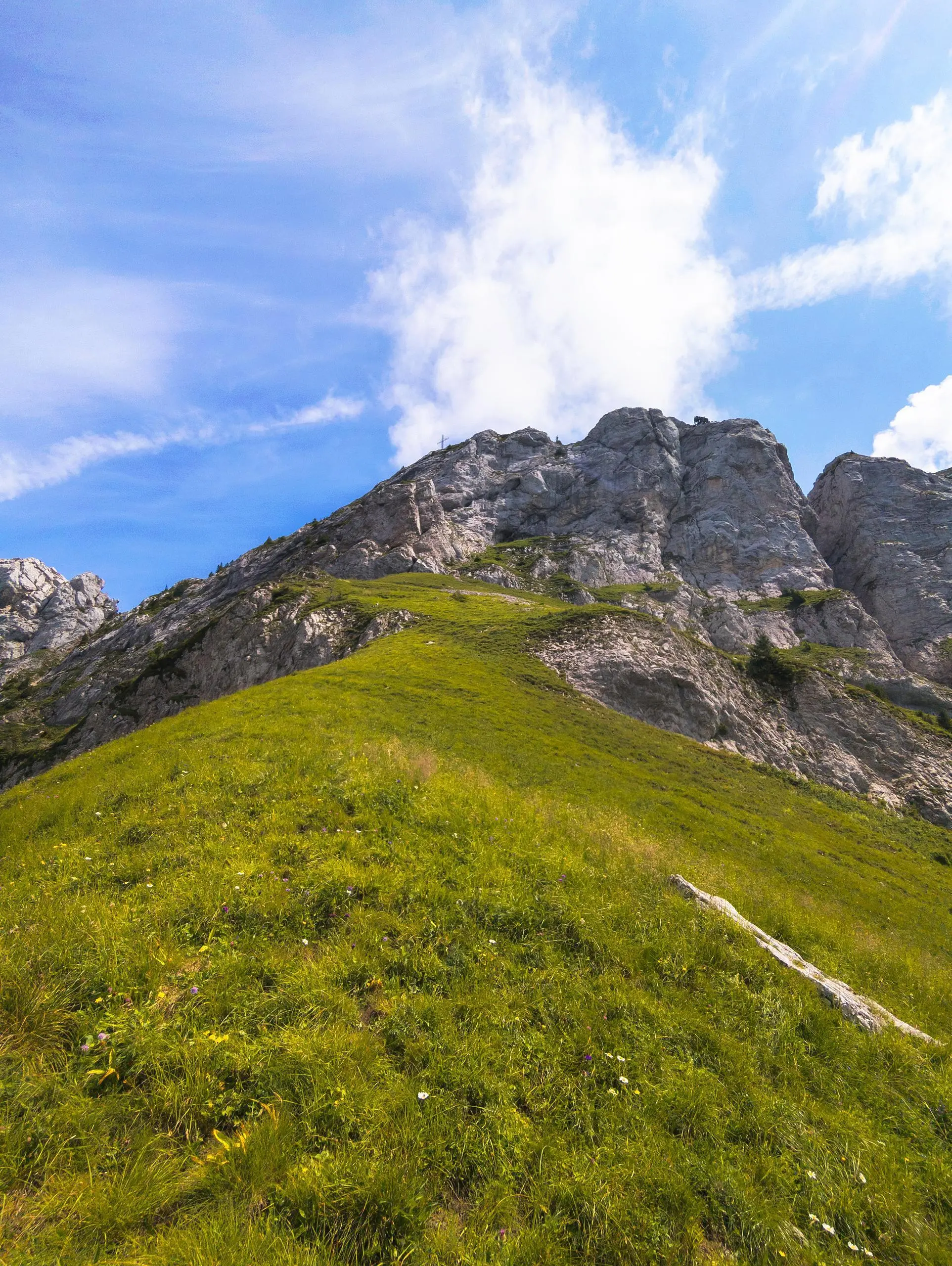
Caution: difficult route requiring some climbing, but without difficulties. Park at the last parking lot on the road to the hamlet of Le Sappey. Follow the forest road to the Col de la Buffaz. Turn right at the farm. The path is no longer signposted and is barely visible up to the summit. Be sure to follow the route to the summit, as there are no marks on the rocks to indicate where to go. You'll have to do a bit of climbing to get over the rocks and find a path to the summit. Once you've reached the ridge, continue a little further to reach the iron cross and the viewpoint. Take the same path back down to the forest road and then the parking lot.


