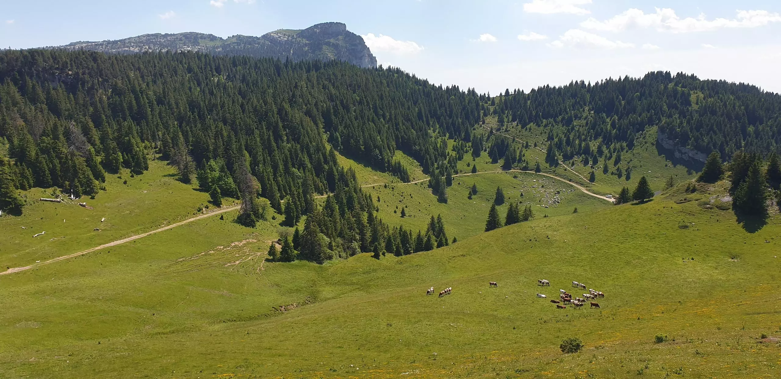
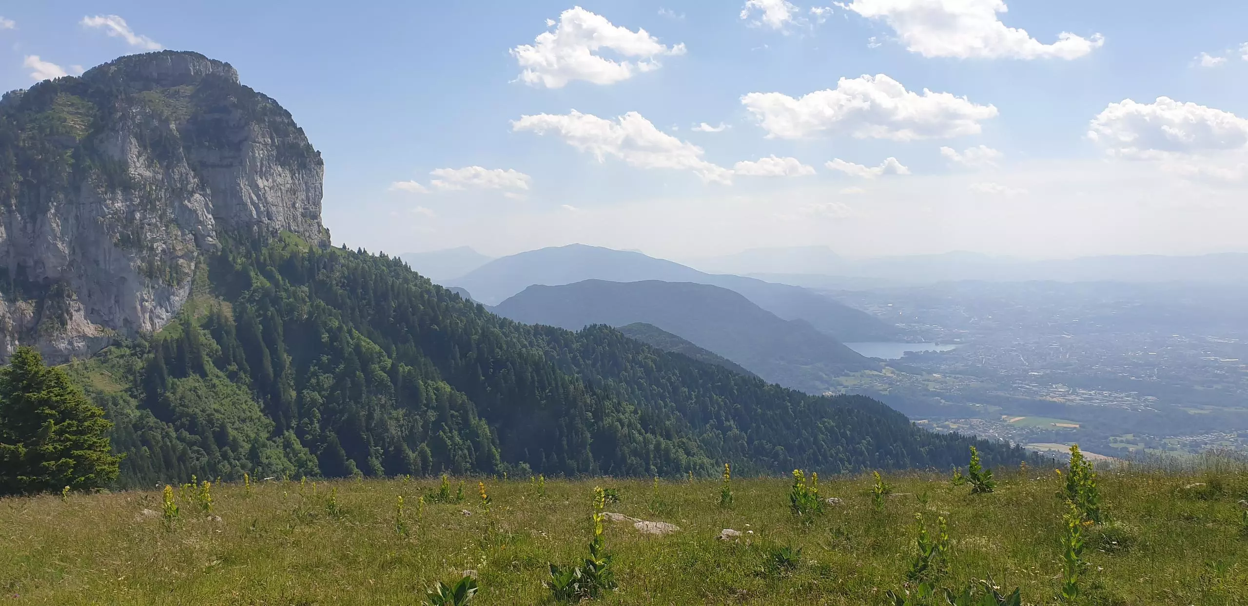
This hiking trail covers 5.088mi starting from Fillière, Haute-Savoie. The hike is a loop trail and returns to the trailhead. This hike is rated as moderate, plan for about 2h55m to complete it. The route has an elevation gain of 1850ft and an elevation loss of 1841ft.
Description of the route by the creator
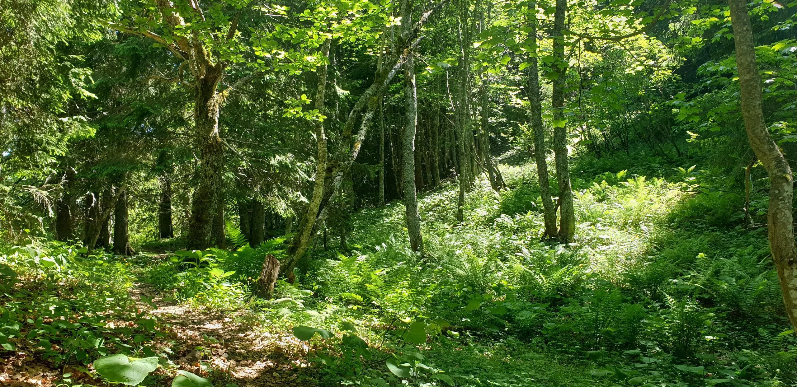
Start of the path at the end of the paved road. Continue straight ahead until you reach the path in the forest. Follow the small path, no indications along this path. Then join the path to the chalet de l'Anglettaz. Finally, go down the main path to the parking.


