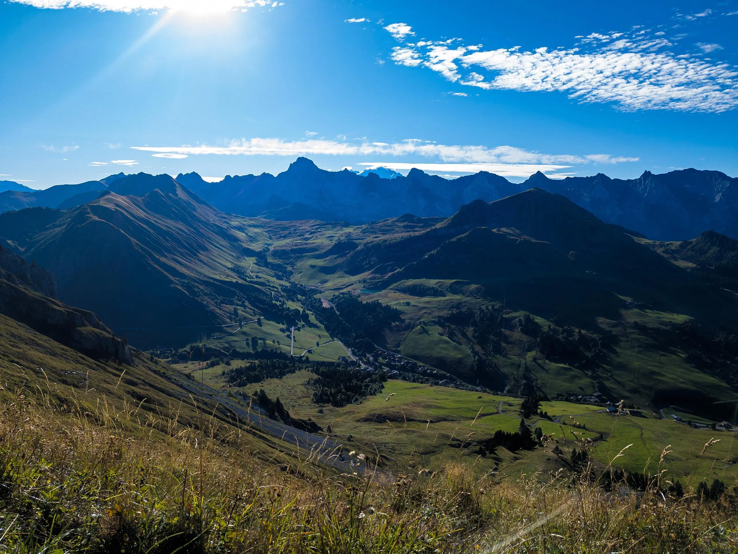
MapPlanner
8,491mi
Distance
5h7m
Duration
1,66mph
Speed
4882ft
Elevation +
4859ft
Elevation -
4232ft
Min altitude
7989ft
Max altitude
Very difficult
Level

Pic de Jallouvre - Pointe Blanche

The Grand-Bornand ski area
View of Pointe Percée shortly after the village
Lac de Lessy in the early morning
View south from Col de Sosay
View north from Col de Sosay
Soon arriving at the intersection between the
The Aravis mountain range in the foreground and Mont Blanc in the background
Pointe de Jallouvre from the summit of Ponte Blanche
View of Geneva and Lake Leman in the distance
The Pointe Blanche cross with Mont-Blanc just behind
View of Mont Blanc from the pointe de Jallouvre
Pointe Blanche, more difficult to access from Pointe de Jallouvre
Lac de Lessy below from the pointe de Jalouvre
A few not-so-wild chamois!

Route details

Explore this hiking route of 8,491mi starting from Le Grand-Bornand, Haute-Savoie. The hike is a loop and returns to the starting point. This hike is rated as very difficult, plan for about 5h7m to complete it. The route has a positive elevation gain of 4882ft and a negative elevation loss of 4859ft.

Description of the route by the creator

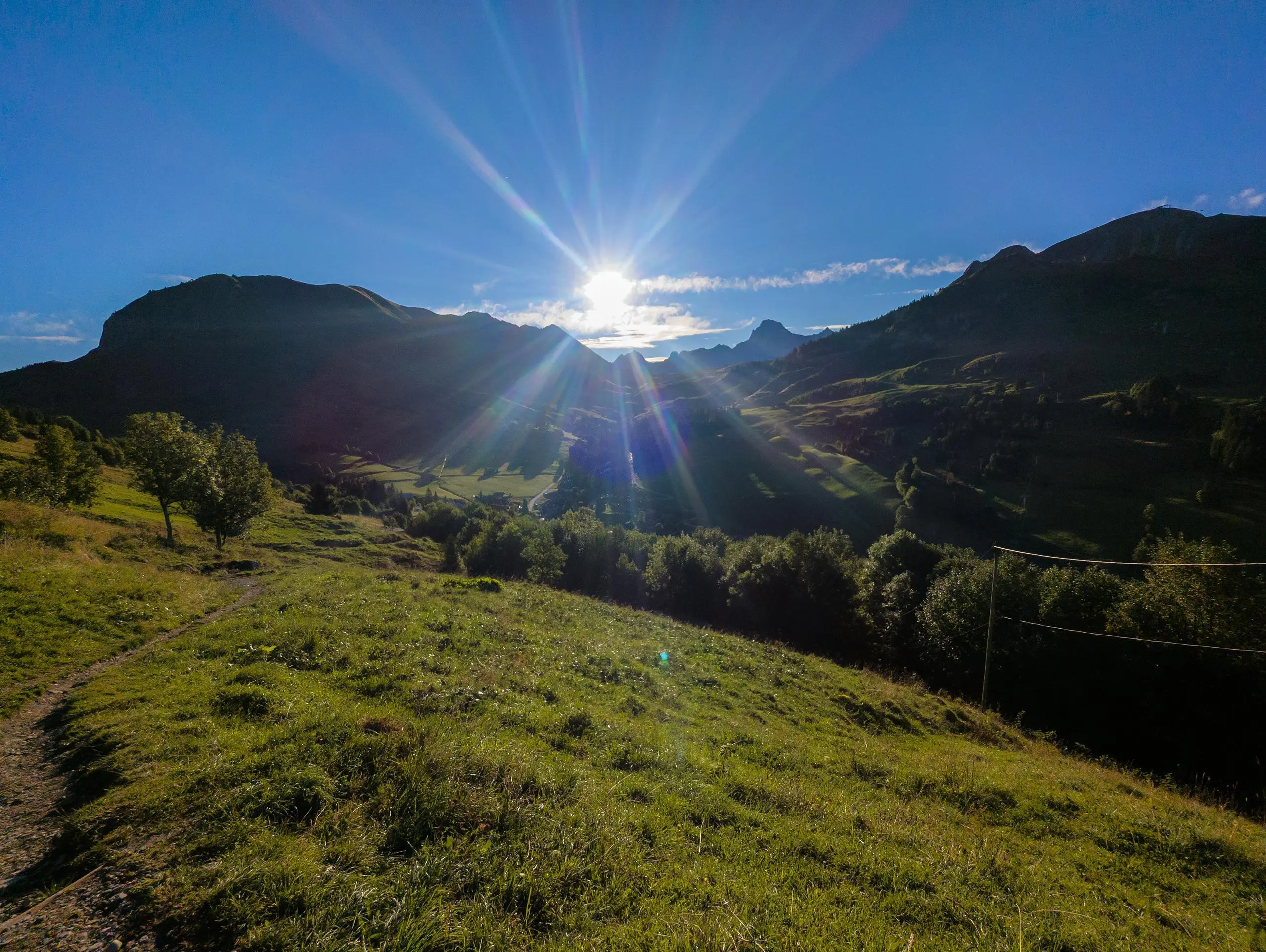
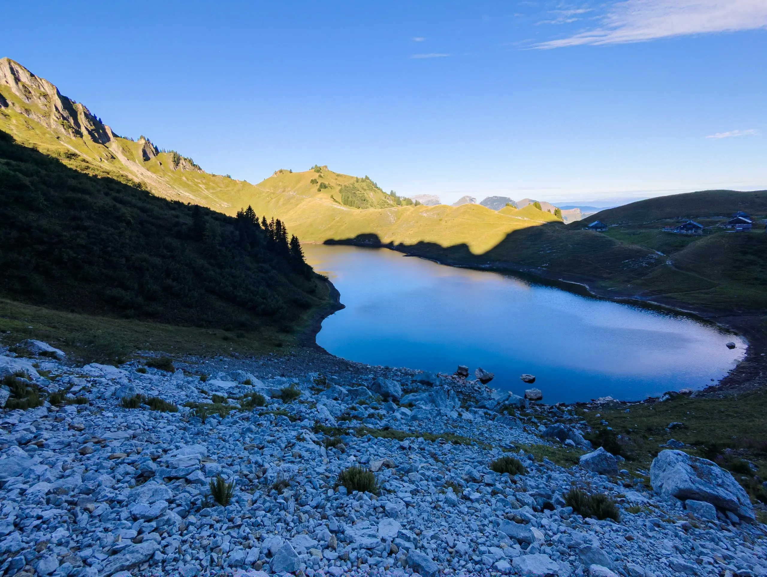
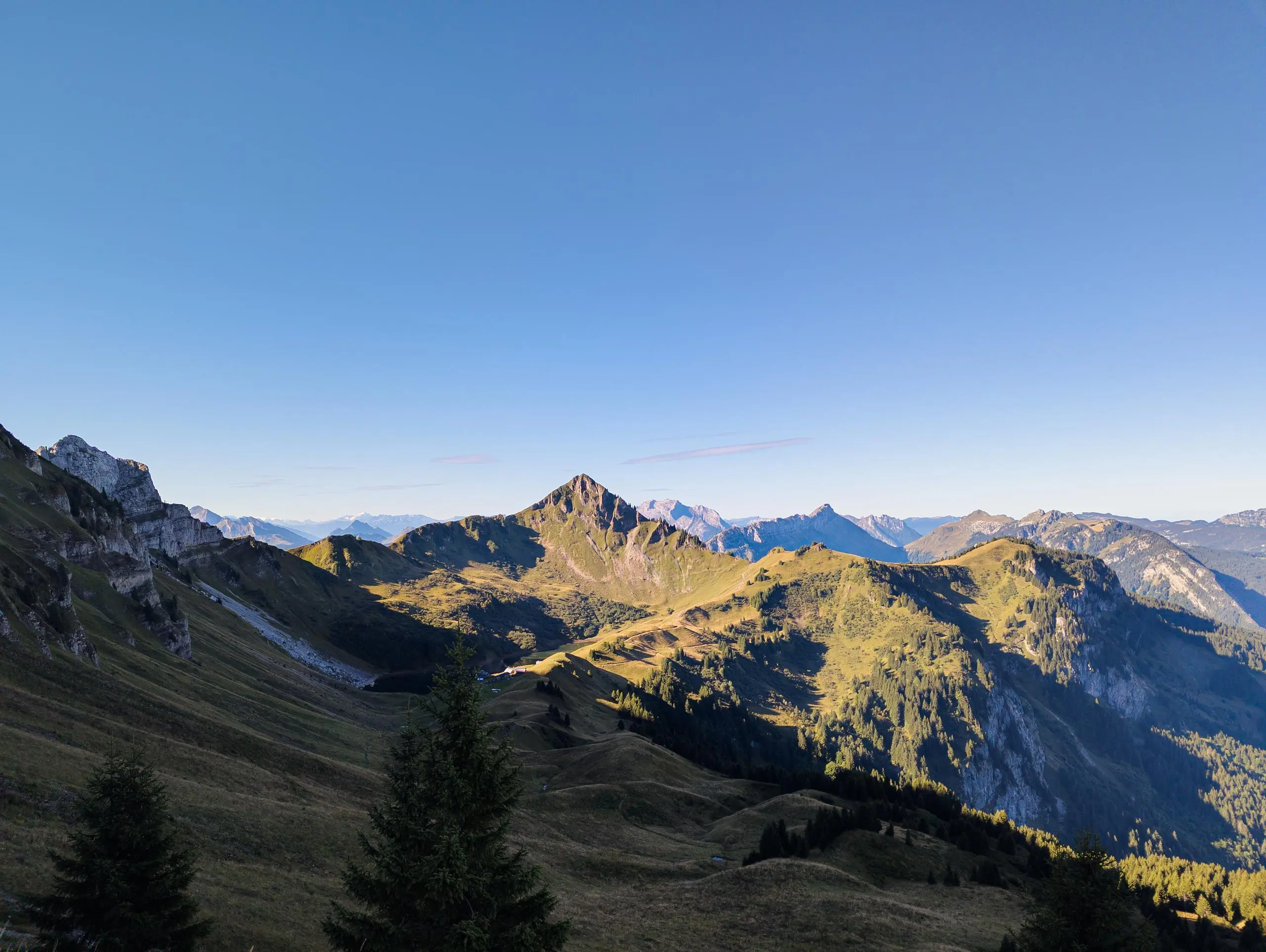
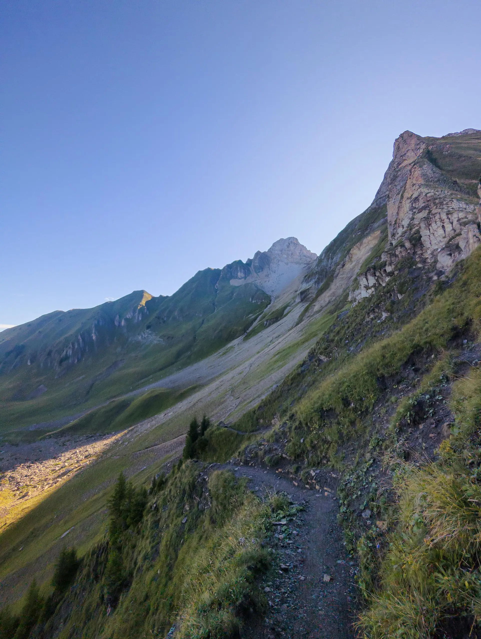
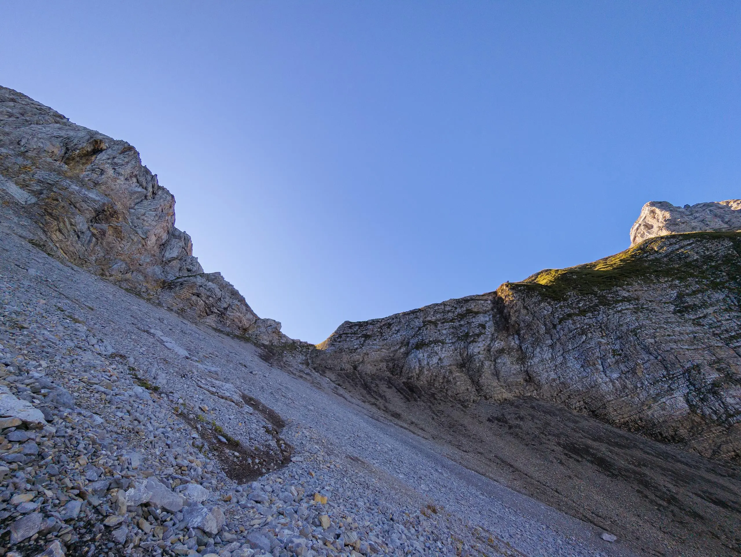
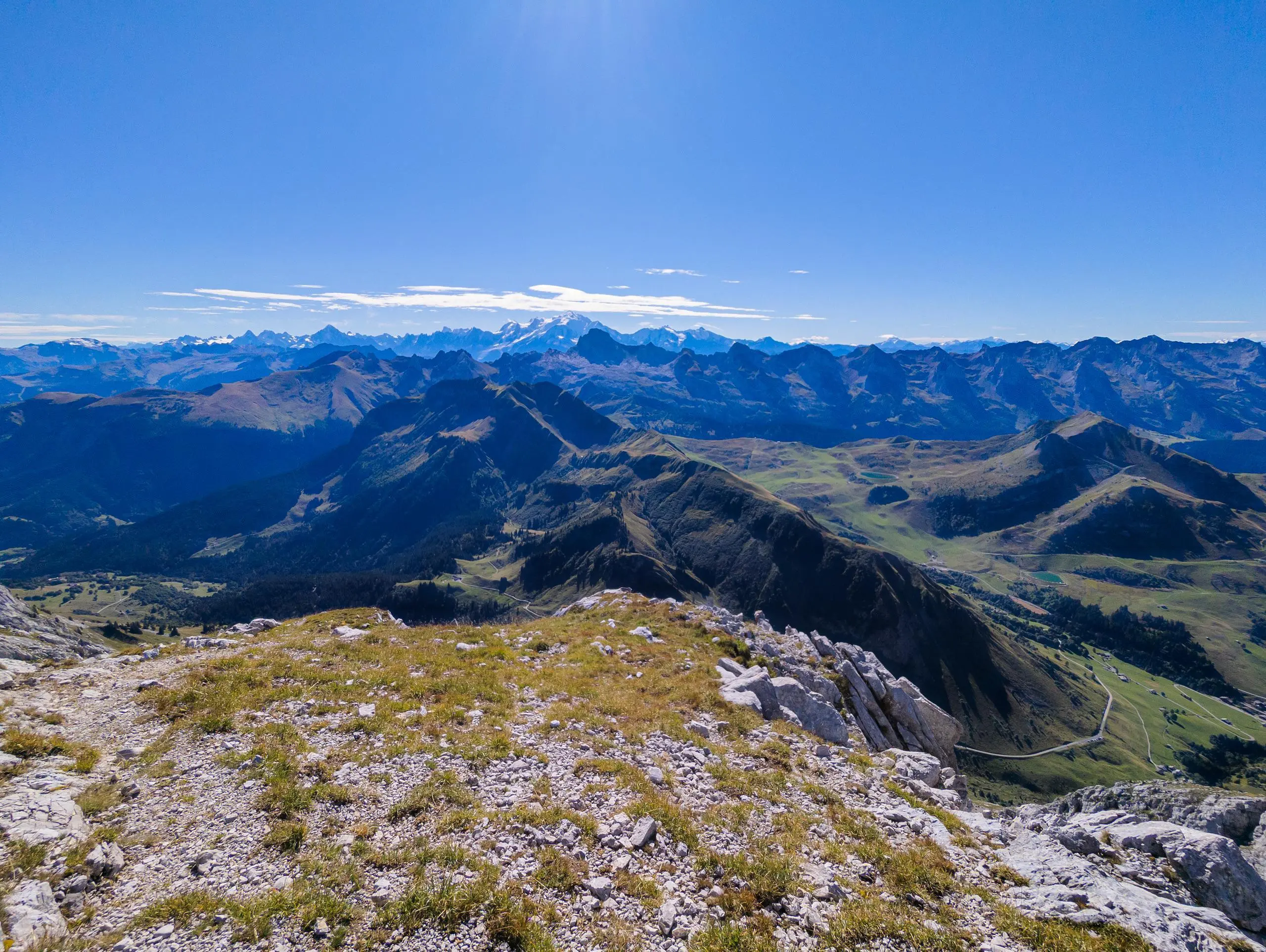
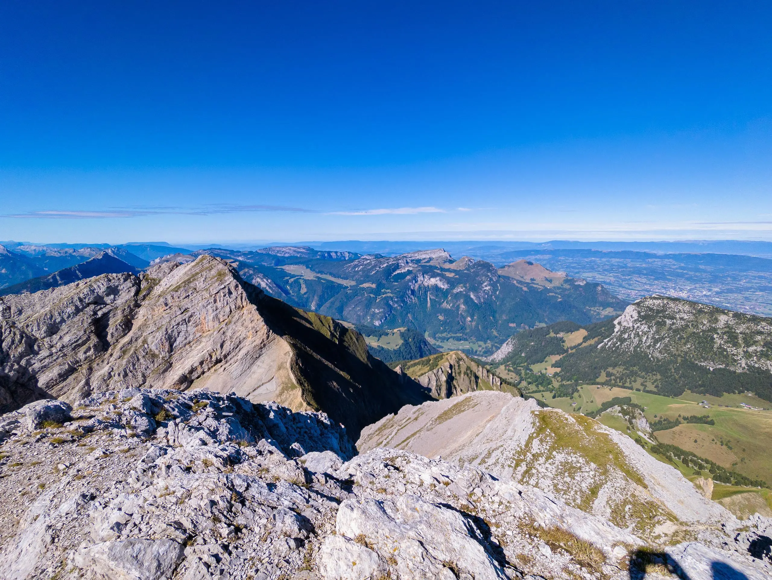
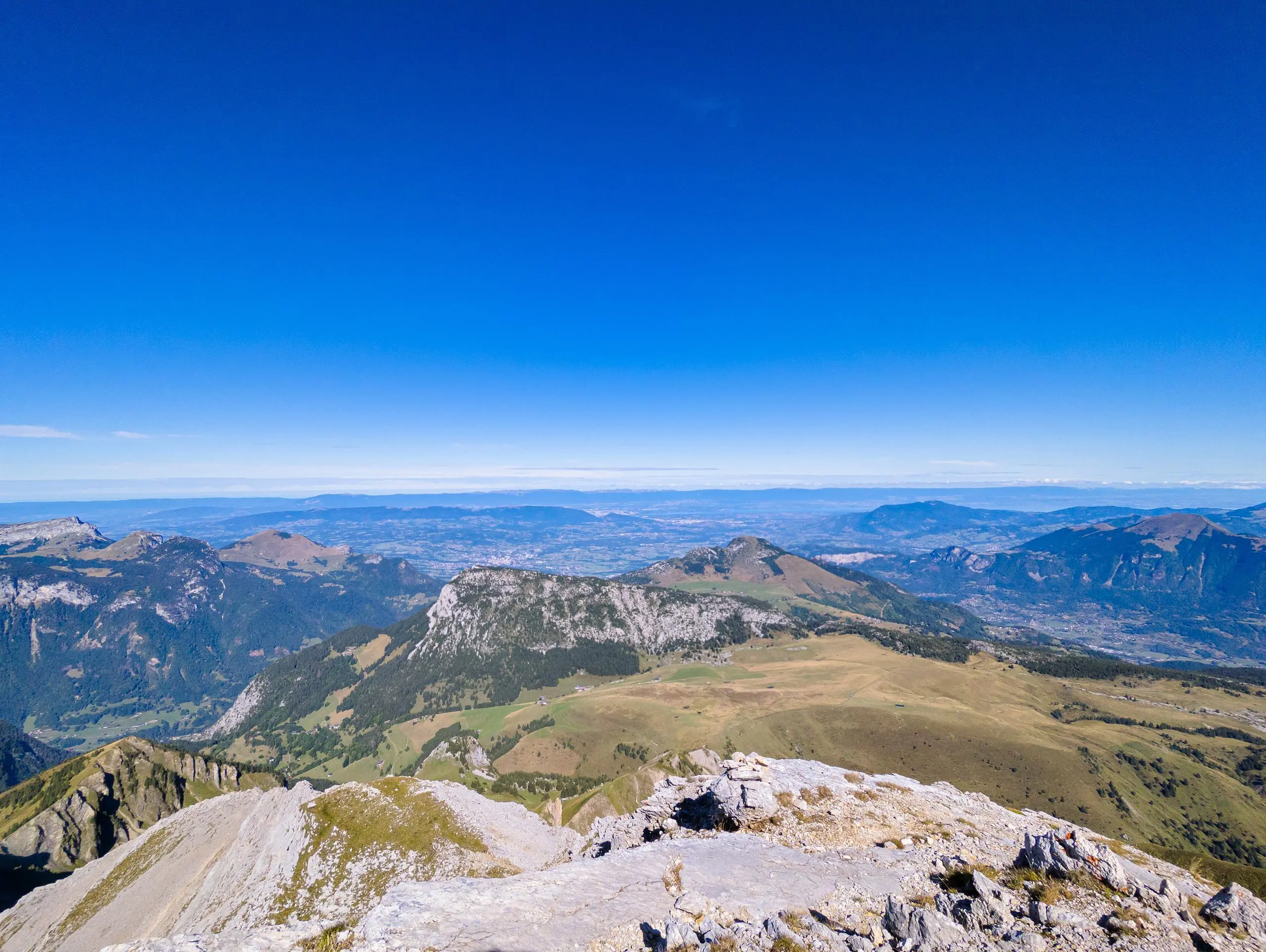
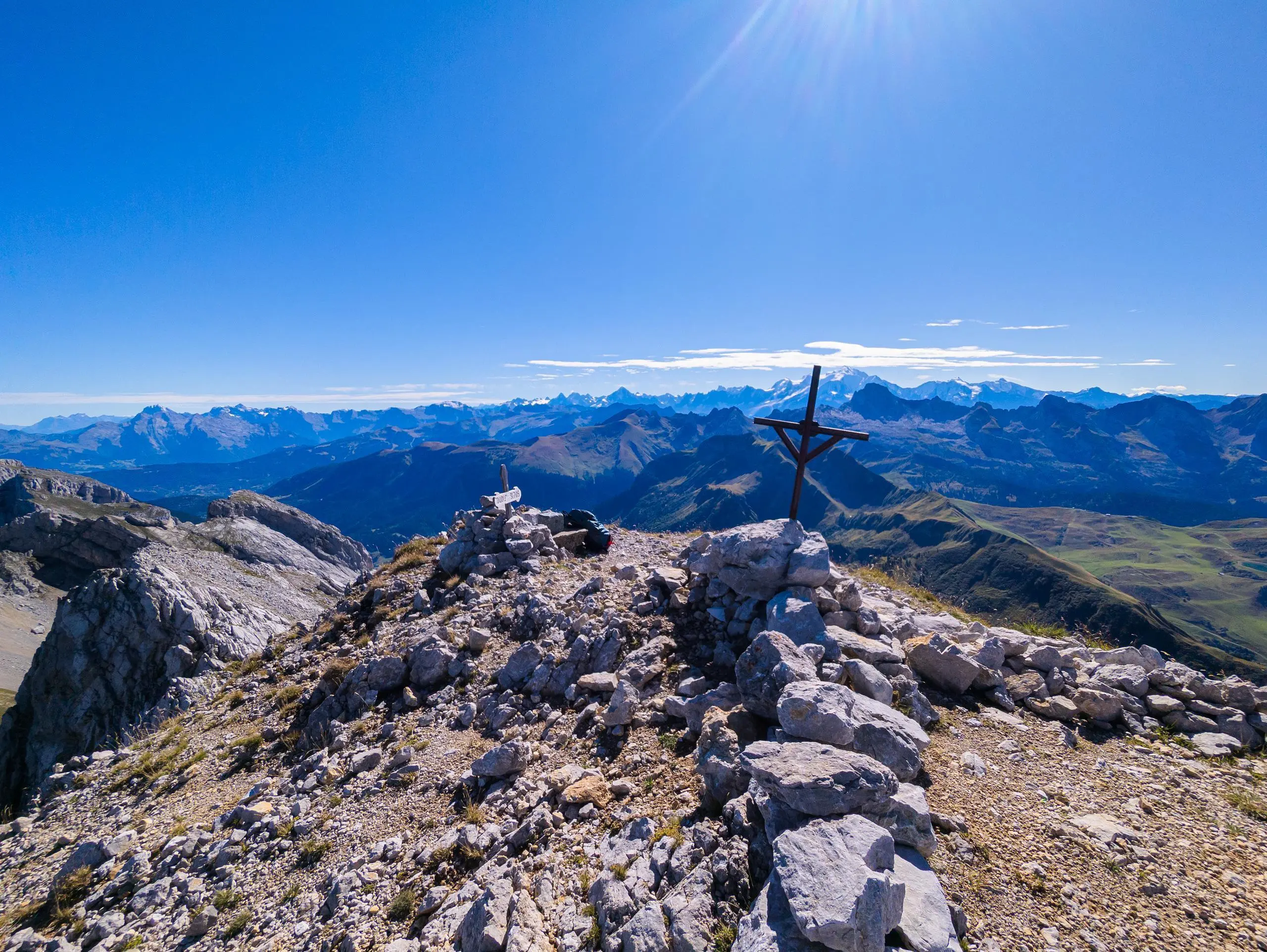
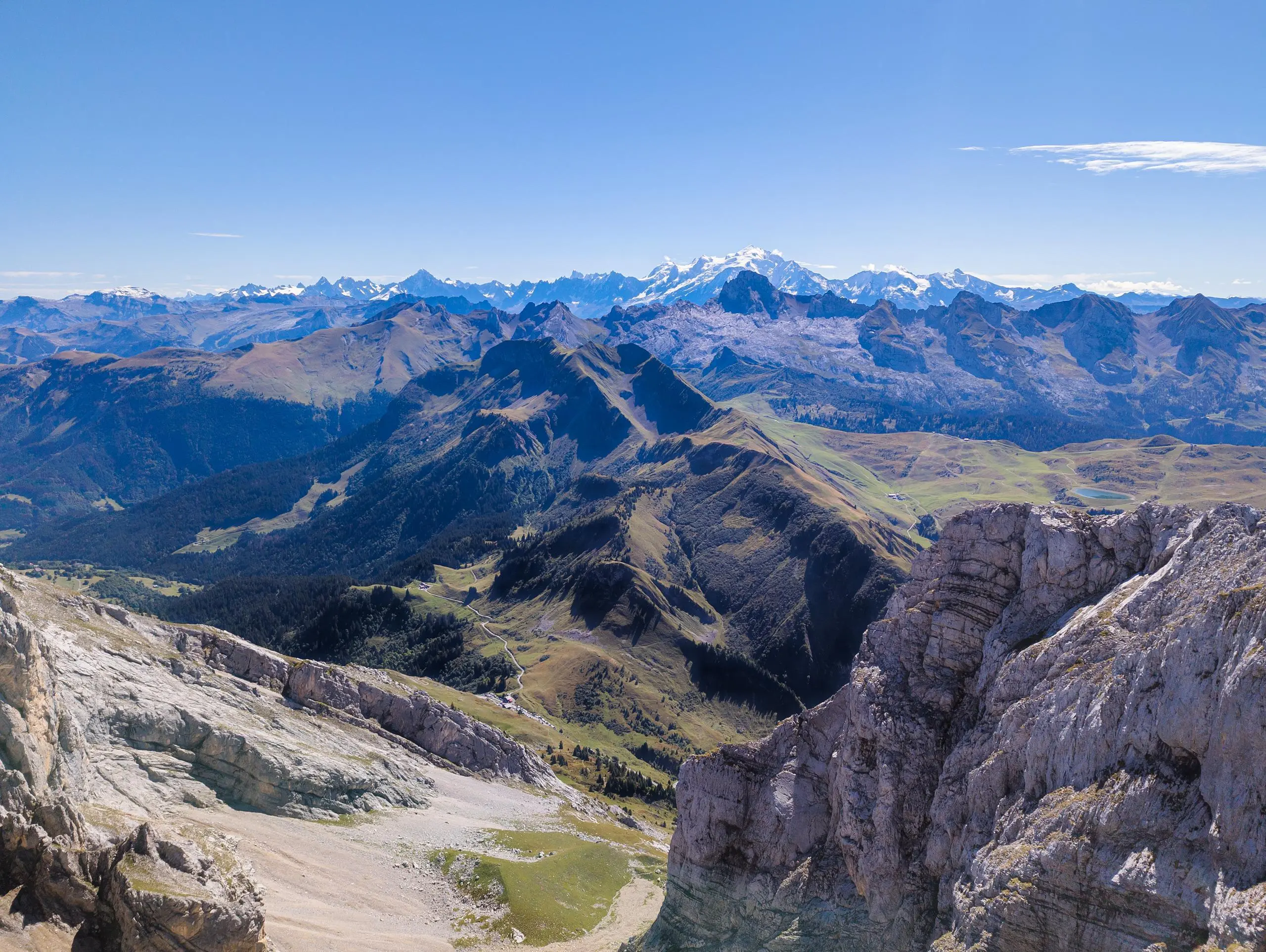
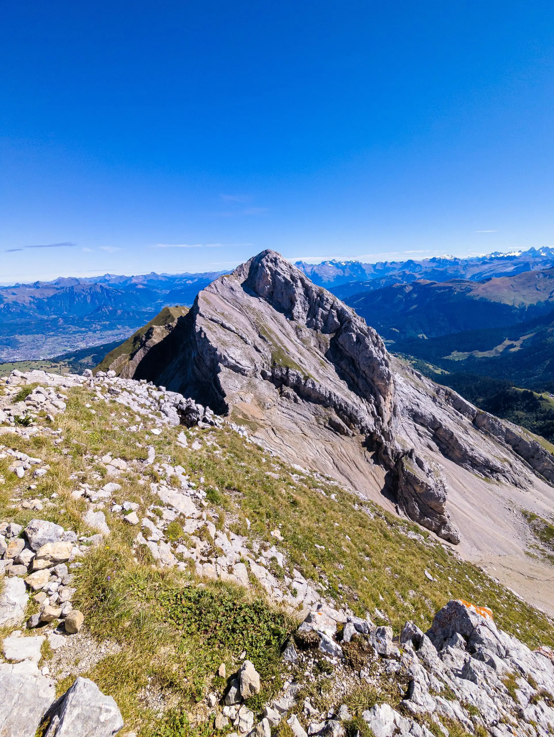
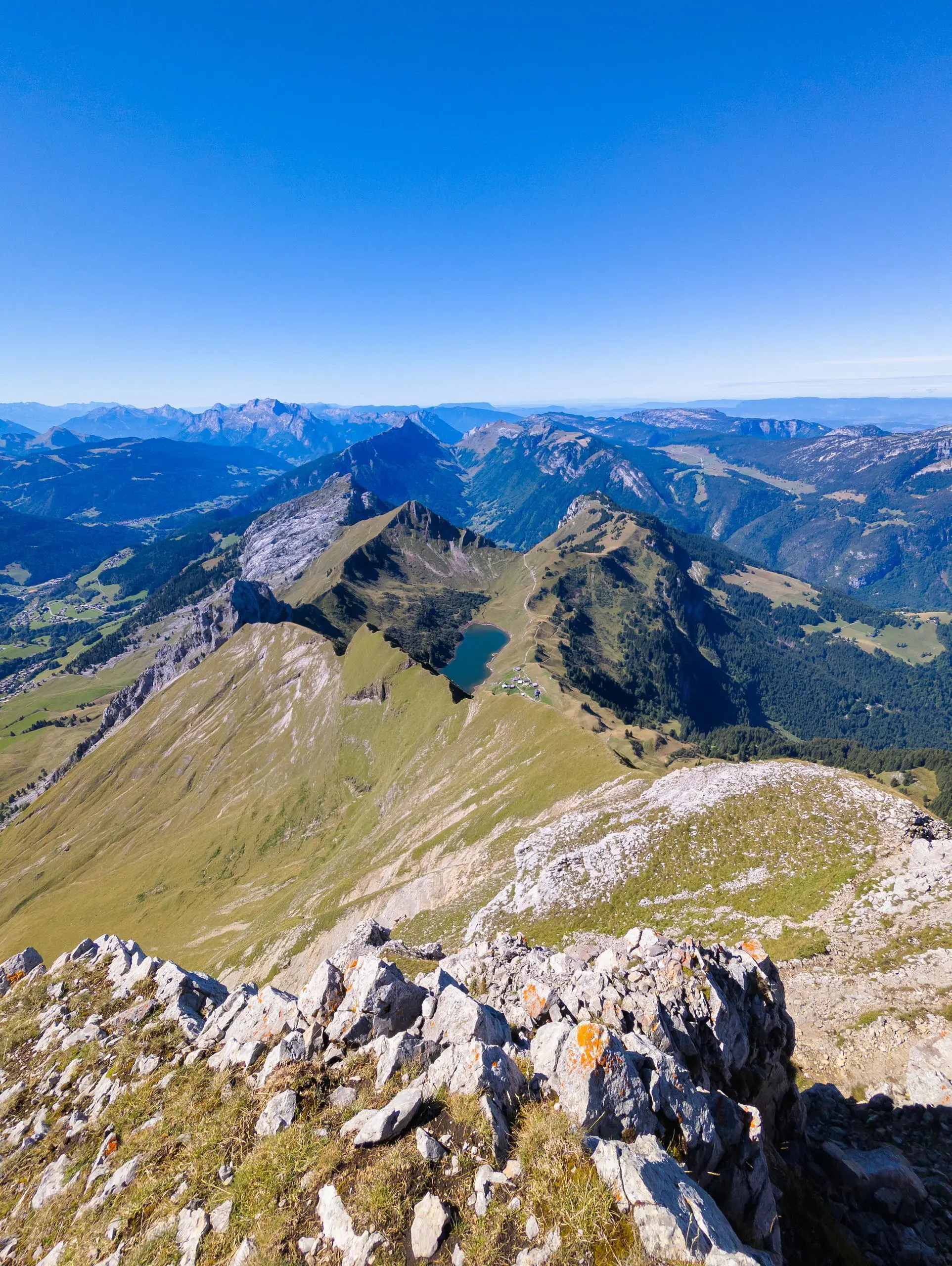
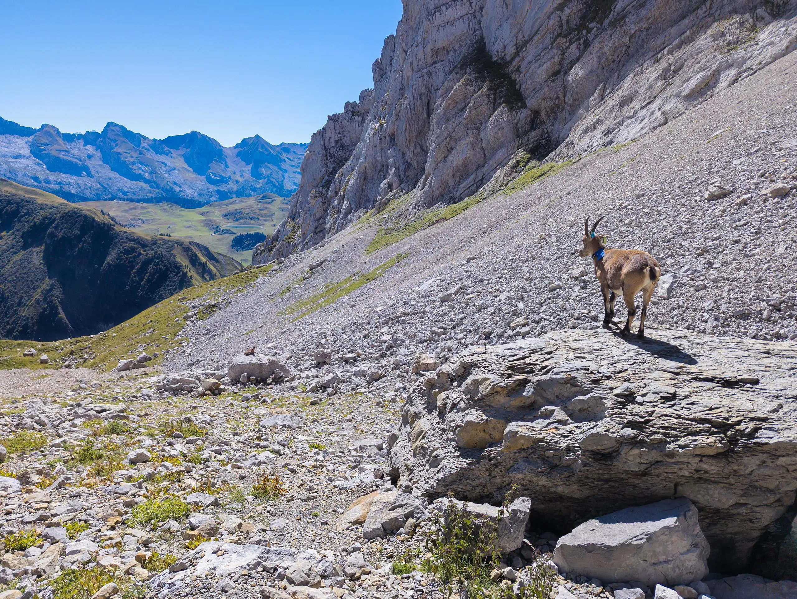
Park in Chinaillon village. The shortest route is up a hidden staircase next to the Sherpa store. It climbs up to join a path signposted Lac de Lessy. Follow the signs to the Sous le Buclon pass, then descend to the lake. Turn right at the lake to reach the Col de Sosay, which offers a lovely view of Lac de Lessy to the south and the Plateau de Solaison to the north. Take a path to the right, a little lower down the pass, which climbs up to reach the intersection between the 2 points. Pointe Blanche to the left and Pointe de Jalouvre to the right. Pointe Blanche is more difficult to access and requires a bit of climbing. Reserved for seasoned hikers! What's more, the path is poorly signposted, either by arrows or red dots. Pointe de Jalouvre is easier to access and a well-marked path leads to the summit. Return to the intersection and follow the path down to a parking area on the road, then turn right to return to the starting point.

(Description automatically translated)

Route profile

4882ft
Elevation +
4859ft
Elevation -
4232ft
Min altitude
7989ft
Max altitude

How to get there

Route starting point: 6963 Route Du Chinaillon, 74450 Le Grand-Bornand, France

GPS coordinates of the starting point: 45.97389, 6.45484 / 45°58'26'' N, 6°27'17'' E