MapPlanner
6.265mi
Distance
4h
Duration
+4045ft
Elevation gain
-4045ft
Elevation loss
Hard
Level

Tête du Parmelan par Col du Pertuis

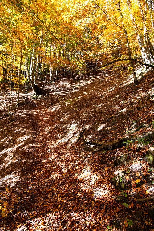
Beginning of the ascent to the Parmelan by the Grand Montoir
The rise of the Grand Montoir
The Parmelan refuge
The Parmelan refuge
View on Annecy from the top of Parmelan
The Parmelan cliff from the top

Route details

1.57mph
Speed
2022 kcal
Calories burned
24.5%
Avg grade
Loop trail
Route type
3346ft
Min altitude
5984ft
Max altitude
Technicity: Technical Steep climb

This hiking trail covers 6.265mi starting from Dingy-Saint-Clair, Haute-Savoie. The hike is a loop trail and returns to the trailhead. This hike is rated as hard, plan for about 4h to complete it. The route has an elevation gain of 4045ft and an elevation loss of 4045ft.

Description of the route by the creator

Park in the Saugy parking lot at the end of the road. Then follow the signs Tête du Parmelan - Grand Montoir. The Grand Montoir passage is a bit dizzy and slippery, do it in dry period. Once at the refuge, count 10min round trip to go to the Tête du Parmelan and the cross. Come back to the refuge and continue the path following the signs Col du Pertuis / Parking du Saugy. The path continues close to the cliff and then turns to the left in a steep and very stony slope. Continue towards the Col du Pertuis and then go down towards the Saugy parking.
(Description automatically translated)

Route profile

4045ft
Elevation gain
4045ft
Elevation loss
3346ft
Min altitude
5984ft
Max altitude

How to get there

Trailhead: 5020 Route De La Blonnière, 74230 Dingy-Saint-Clair, France

GPS coordinates of the trailhead: 45.93518, 6.2335 / 45°56'6'' N, 6°14'0'' E

Download / Export

GPX

Hiking trails nearby

E2E offline 1788683804546
Flo+explorer
Hiking
Easy

E2E offline 1788683804546

0.656mi
10m
+30ft
Haute-Savoie - Annecy
Tête du danay par les confins
Laetitia G
Hiking
Hard

Tête du danay par les confins

4.941mi
2h23m
+1112ft
Haute-Savoie - La Clusaz
E2E offline 1788624917955
Flo+explorer
Hiking
Easy

E2E offline 1788624917955

1.005mi
19m
+253ft
Haute-Savoie - Annecy
De Rue de la Barrade à Allée du Bois des Îles
Flo+explorer
Hiking
Easy

De Rue de la Barrade à Allée du Bois des Îles

0.361mi
9m33s
+0ft
Haute-Savoie - Annecy

Recommended routes for you

Pointe de Talamarche depuis Montremont
Flo
Hiking
Hard

Pointe de Talamarche depuis Montremont

7.289mi
4h15m
+4035ft
Haute-Savoie - Thônes
Col de la Buffaz
Flo
Hiking
Moderate

Col de la Buffaz

4.092mi
3h25m
+1991ft
Haute-Savoie - Thônes
Le Môle depuis Ayse
Flo
Hiking
Moderate

Le Môle depuis Ayse

8.039mi
4h1m
+3524ft
Haute-Savoie - Ayse
Cascades d'Angon
Flo
Hiking
Easy

Cascades d'Angon

3.204mi
3h15m
+1093ft
Haute-Savoie - Talloires-Montmin

Caution: May Cross Private Property

This route may pass through or near private property. Always respect posted signs, obtain permission where required, and follow local trespassing laws. MapPlanner does not guarantee public access along any route.

Safety Notice

Trail and road conditions may change without notice due to weather, construction, or other factors. Always verify current conditions before heading out. You are responsible for your own safety — follow local signage, obey traffic laws, and use your best judgment on the trail.