This hiking trail covers 6.823mi starting from Valmeinier, Savoie. The hike does not return to the trailhead and ends near 73140, Orelle, Savoie, France. This hike is rated as strenuous, plan for about 6h18m to complete it. The route has an elevation gain of 4728ft and an elevation loss of 180ft.
Mont thabor
Route details
1.08mph
Speed
3225 kcal
Calories burned
13.6%
Avg grade
Point to point
Route type
5748ft
Min altitude
10325ft
Max altitude
High altitude
Steep climb
Route profile
4728ft
Elevation gain
180ft
Elevation loss
5748ft
Min altitude
10325ft
Max altitude
How to get there
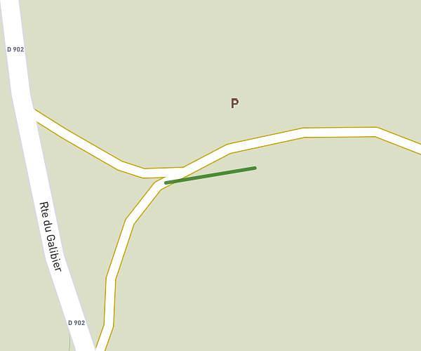
Trailhead: Neuvache, 73450 Valmeinier, France
GPS coordinates of the trailhead: 45.16163, 6.49448 / 45°9'41'' N, 6°29'40'' E