MapPlanner
2.937mi
Distance
3h30m
Duration
+3934ft
Elevation gain
-249ft
Elevation loss
Strenuous
Level

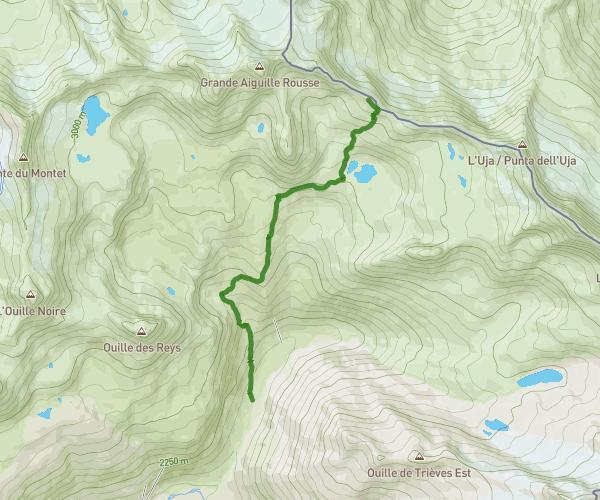
De Parking de Ribon à Chapelle de Tierce

Route details

0.84mph
Speed
2091 kcal
Calories burned
27.0%
Avg grade
Point to point
Route type
5866ft
Min altitude
9669ft
Max altitude
Technicity: Technical High altitude Steep climb

This hiking trail covers 2.937mi starting from Bessans, Savoie. The hike does not return to the trailhead and ends near 73480, Bessans, Savoie, France. This hike is rated as strenuous, plan for about 3h30m to complete it. The route has an elevation gain of 3934ft and an elevation loss of 249ft.

Route profile

3934ft
Elevation gain
249ft
Elevation loss
5866ft
Min altitude
9669ft
Max altitude

How to get there

Trailhead: Le Petit Bonheur, 73480 Bessans, France

GPS coordinates of the trailhead: 45.314422, 6.995943 / 45°18'51'' N, 6°59'45'' E
Download / Export

GPX

Hiking trails nearby

De La Tuilière à Col du Carro
OC71850
Hiking
Strenuous

De La Tuilière à Col du Carro

3.785mi
3h14m
+3340ft
Savoie - Bonneval-sur-Arc
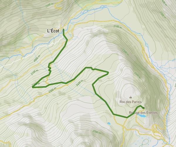
LES EVETTES
OC71850
Hiking
Hard

LES EVETTES

2.891mi
2h5m
+1926ft
Savoie - Bonneval-sur-Arc
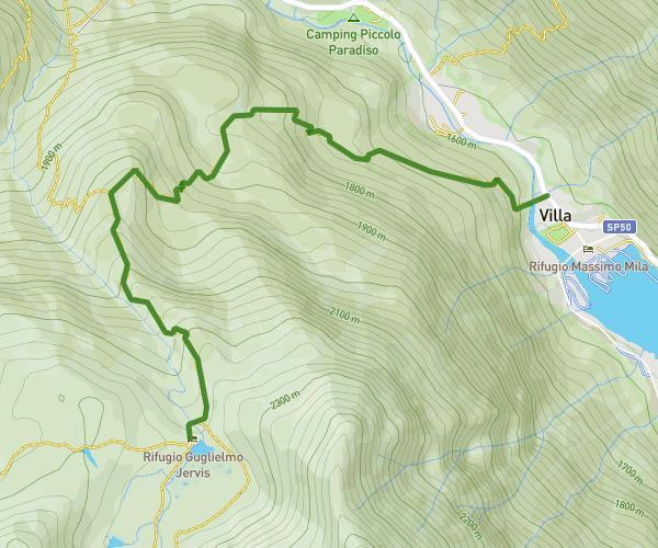
Da Ceresole (Borgata Villa) a Rifugio Guglielmo Jervis
Anna Cometti
Hiking
Hard

Da Ceresole (Borgata Villa) a Rifugio Guglielmo Jervis

2.565mi
2h11m
+2320ft
Turin - Ceresole Reale
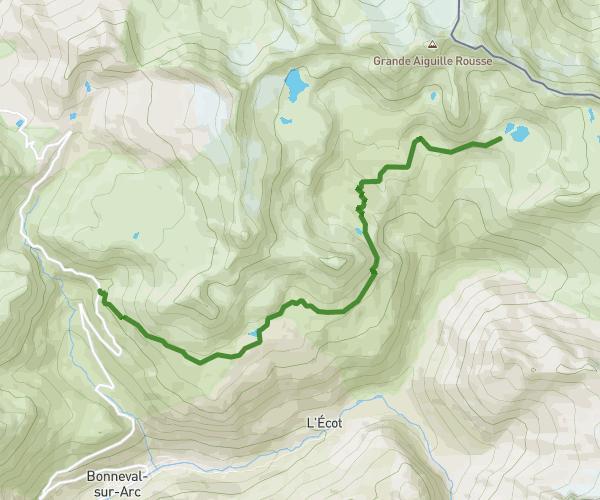
De Pont de l'Ouliette à Le Carro
OC71850
Hiking
Strenuous

De Pont de l'Ouliette à Le Carro

7.1mi
3h32m
+2064ft
Savoie - Bonneval-sur-Arc

Recommended routes for you

Chartreuse : Le sentier du Cozon
Flo
Hiking
Strenuous

Chartreuse : Le sentier du Cozon

6.383mi
3h52m
+1916ft
Savoie - Saint-Pierre-d'Entremont
La Belle-Étoile depuis le Fort de Tamié
Flo
Hiking
Hard

La Belle-Étoile depuis le Fort de Tamié

10.936mi
5h49m
+5010ft
Savoie - Mercury
Mont Charvin (par la via ferrata)
Flo
Hiking
Strenuous

Mont Charvin (par la via ferrata)

6.09mi
4h53m
+3402ft
Savoie - Ugine
Mont Colombier depuis Montlardier
Flo
Hiking
Hard

Mont Colombier depuis Montlardier

5.065mi
4h38m
+4514ft
Savoie - Le Châtelard

Caution: May Cross Private Property

This route may pass through or near private property. Always respect posted signs, obtain permission where required, and follow local trespassing laws. MapPlanner does not guarantee public access along any route.

Safety Notice

Trail and road conditions may change without notice due to weather, construction, or other factors. Always verify current conditions before heading out. You are responsible for your own safety — follow local signage, obey traffic laws, and use your best judgment on the trail.