MapPlanner
8.787mi
Distance
3h35m
Duration
+3671ft
Elevation gain
-3688ft
Elevation loss
Moderate
Level

Crêt des mouches

On the way to the top
Chamois herd near the summit
View of La Tournette from the summit of Crêt des Mouches
View of the Bauges from the summit of Crêt des Mouches
Lake Annecy from the summit of the Crêt des Mouches peak

Route details

2.68mph
Speed
1708 kcal
Calories burned
15.9%
Avg grade
Loop trail
Route type
3510ft
Min altitude
6670ft
Max altitude
Steep climb

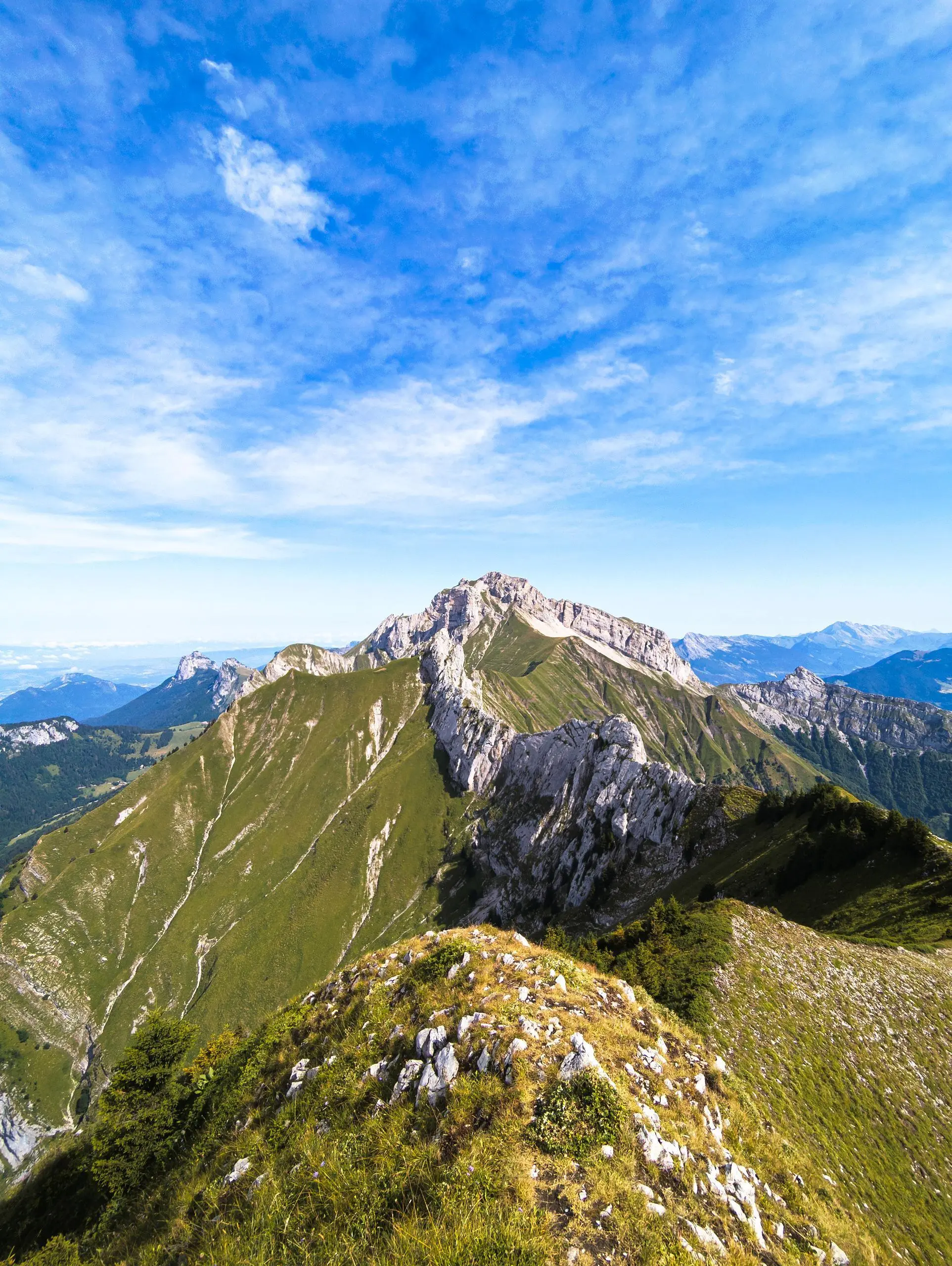
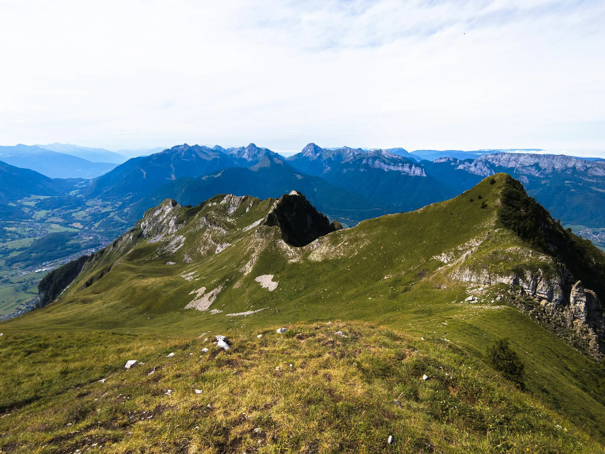
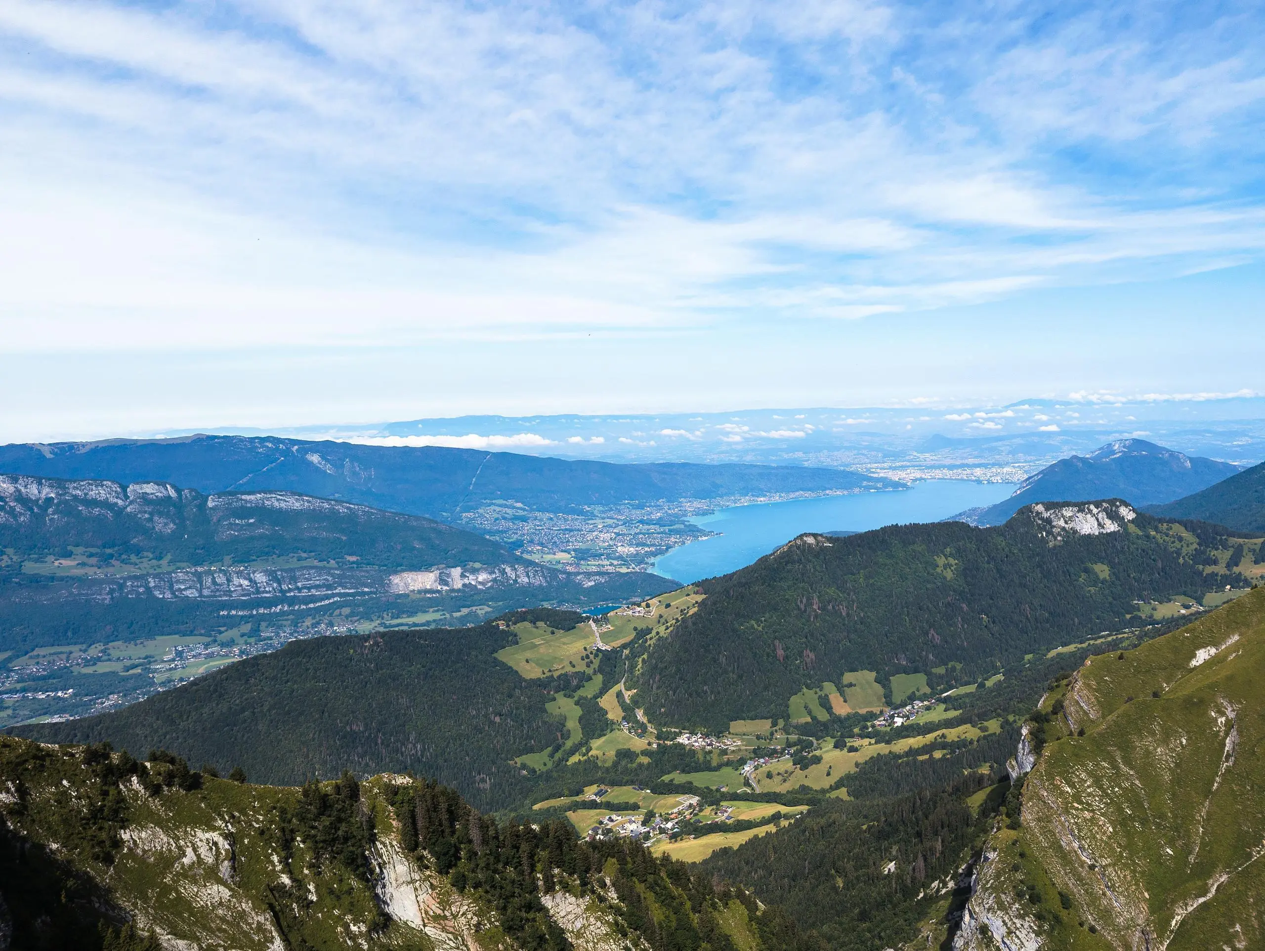
This hiking trail covers 8.787mi starting from Talloires-Montmin, Haute-Savoie. The hike is a loop trail and returns to the trailhead. This hike is rated as moderate, plan for about 3h35m to complete it. The route has an elevation gain of 3671ft and an elevation loss of 3688ft.

Description of the route by the creator

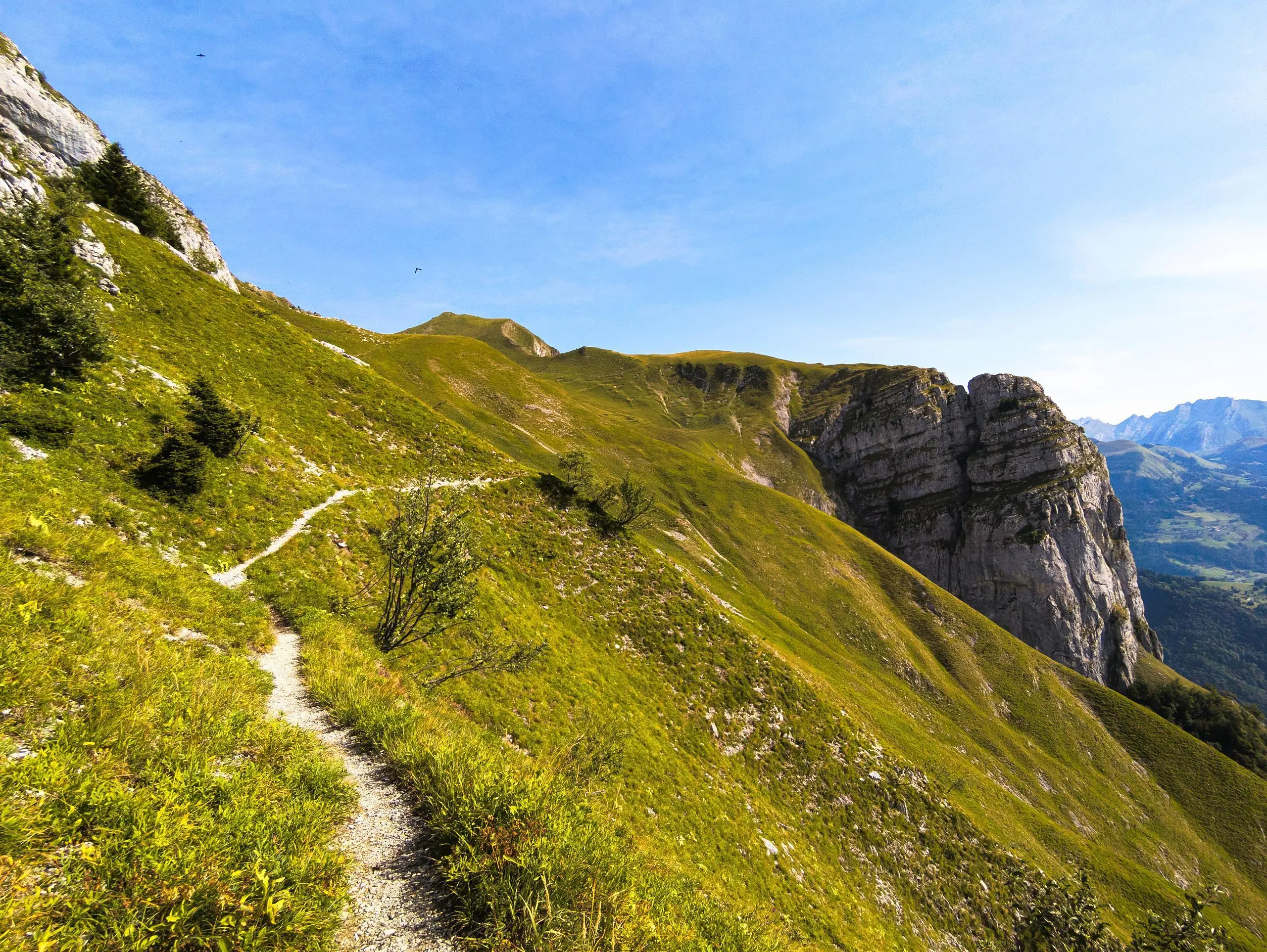
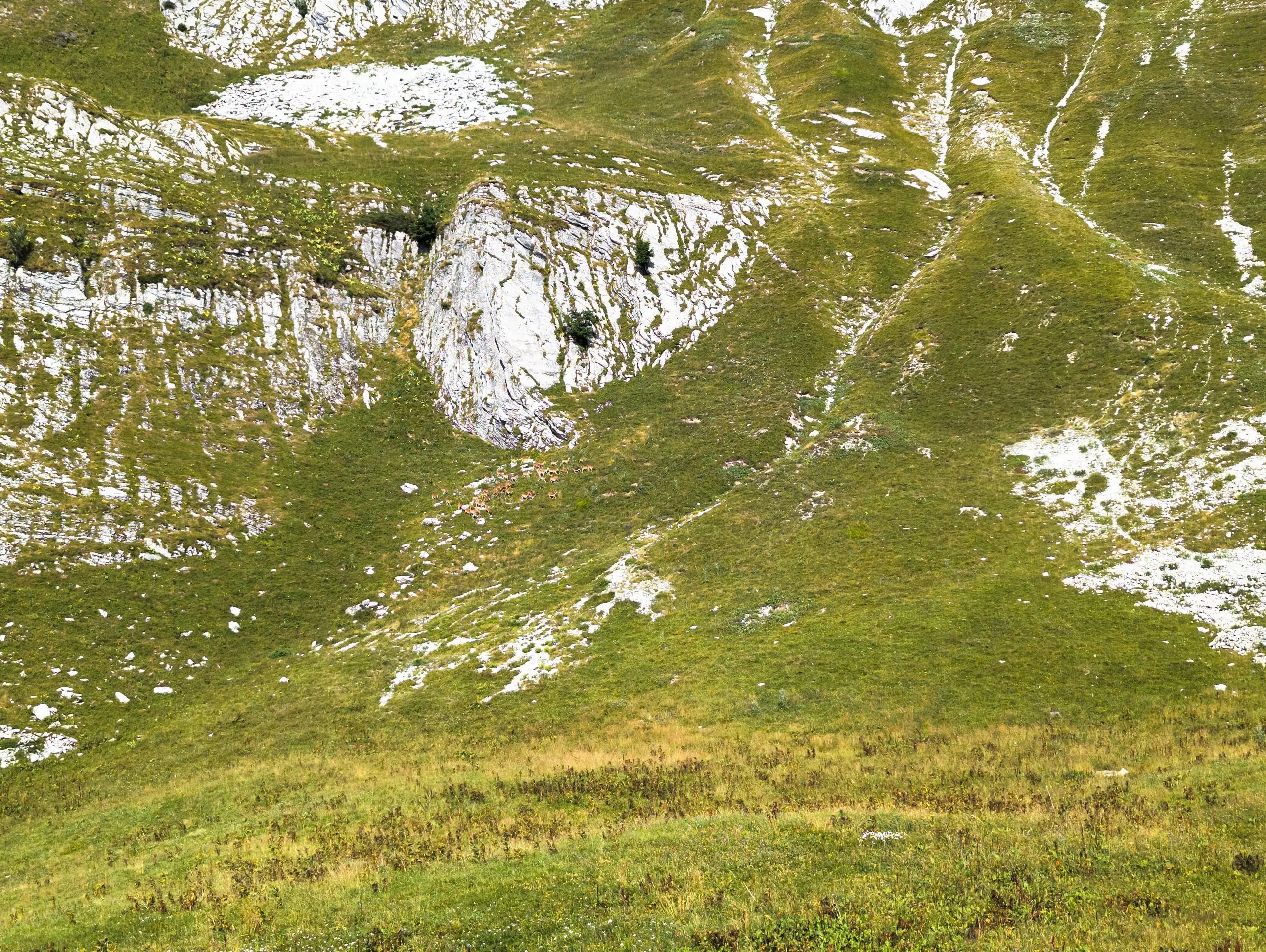
Park in a parking lot shortly after the start of the forest track at Plan Montmin. The path is well signposted. Just be careful to turn off onto the small path before you reach the farm. No particular difficulties. If you're lucky, you'll come across chamois even during the day.

(Description automatically translated)

Route profile

3671ft
Elevation gain
3688ft
Elevation loss
3510ft
Min altitude
6670ft
Max altitude

How to get there

Trailhead: Impasse Du Blanc Fleury, 74210 Talloires-Montmin

GPS coordinates of the trailhead: 45.78533, 6.27002 / 45°47'7'' N, 6°16'12'' E

Caution: May Cross Private Property

This route may pass through or near private property. Always respect posted signs, obtain permission where required, and follow local trespassing laws. MapPlanner does not guarantee public access along any route.

Safety Notice

Trail and road conditions may change without notice due to weather, construction, or other factors. Always verify current conditions before heading out. You are responsible for your own safety — follow local signage, obey traffic laws, and use your best judgment on the trail.