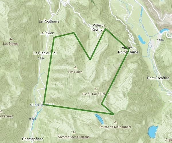
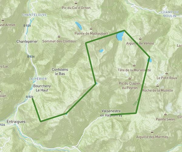
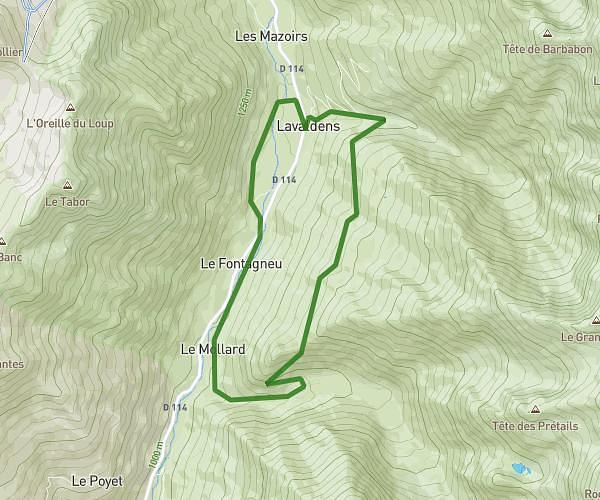
This hiking trail covers 11.834mi starting from Besse, Isère. The hike does not return to the trailhead and ends near 05320, La Grave, Hautes-Alpes, France. This hike is rated as strenuous, plan for about 6h20m to complete it. The route has an elevation gain of 5371ft and an elevation loss of 4108ft.
Dimanche - Pic du Mas de la Grave
Route details
1.86mph
Speed
3048 kcal
Calories burned
15.2%
Avg grade
Point to point
Route type
4961ft
Min altitude
9790ft
Max altitude
High altitude
Steep climb
Route profile
5371ft
Elevation gain
4108ft
Elevation loss
4961ft
Min altitude
9790ft
Max altitude
How to get there
Trailhead: 628 Rue Principale Sainte-Anne, 38142 Besse, France
GPS coordinates of the trailhead: 45.07201, 6.1722 / 45°4'19'' N, 6°10'19'' E