You arrived last night in a valley you do not know and you need tomorrow's hike. On MapPlanner, every route page brings together trail reviews, ratings, photos and directions to the start, so you know what to expect before you lace up.
The guesthouse is booked and the forecast looks good, yet there is nobody around to ask. A line on a map will not tell you whether the path is pleasant or how long it takes to reach the pass. The people who walked it before you will.
Find a hike near where you are staying
It all starts with route search: type the village you are staying in, then narrow down by activity, difficulty, distance or duration. Each result opens a full page with the route map and, right below it, the distance, duration, elevation gain and loss and the level.
At the bottom of every page, MapPlanner suggests a few routes of the same activity around the start, followed by a selection of recommended routes. If your first pick does not suit you, the next one is a click away.
Plan your own route
MapPlanner helps you calculate distances, elevation, duration and plan your hikes, runs and bike rides on an interactive map.
- Automatic distance & elevation calculation
- Topographic, satellite maps
- GPX/KML export for your GPS
- Real-time GPS tracking
Read reviews and ratings from other hikers
The comments section shows the average star rating, the number of ratings and the messages left by people who did the outing: trail conditions, a tricky section, the best viewpoint. Any comment can get a reply. When the route's author answers, the reply carries the Author answer badge, which is handy when you need details about a passage.
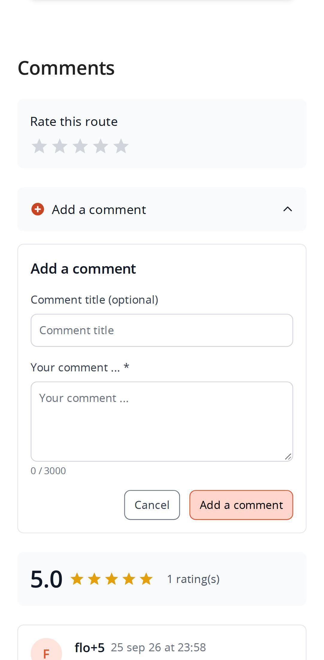
You can rate a route from one to five stars without writing anything. To say more, leave a comment with an optional title. Both rating and commenting need a free account.
Photos, description and route details
Photos of the route and its points of interest form a captioned gallery; tap an image to enlarge it and zoom in. They set the scene far better than any figure: forest, ridge, lake, mountain hut.
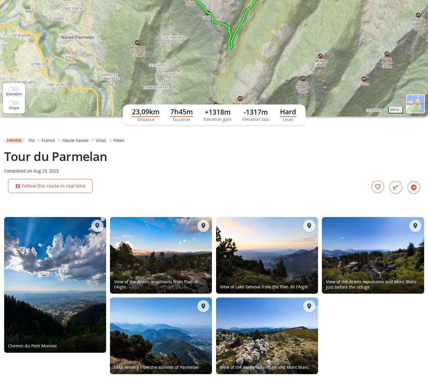
The details fill in the rest: speed or pace, calories, average gradient, loop or one-way, lowest and highest altitude. Then comes the description written by the route's creator. When it was written in another language, it is translated automatically and labeled as such.
Waypoints and day-by-day treks
When the creator has added waypoints, the page lists them in route order: distance from the start, altitude, estimated time to get there, planned stop duration and a photo of the spot when there is one. Times are estimated for the activity; adjust them to your own pace.
On a multi-day trek, overnight stays split the list into day 1, day 2 and so on, with the distance and elevation of each day. On a recorded outing, the actual passing times are shown instead.
How to get to the trailhead
The access section gives the starting point and its GPS coordinates. On a smartphone, a button opens your navigation app straight on the start: Maps on iPhone, your default app on Android.
Right next to it you will find everything to prepare the outing: weather forecast, daylight, nearby parking lots and driving time from where you are.
Our tips for choosing from a route page
- Weigh the rating against the number of ratings. Five stars from a single person count for less than four stars from twenty.
- Check when comments were posted. Trails change with the seasons: last week's feedback is worth more than a review from three years ago.
- Ask your question as a reply. The route's author can answer and clear up a detail.
- Return the favor. After your outing, a rating and two lines on trail conditions help the next visitor to the valley.
Read freely, rate with a free account
Public route pages are open to everyone, no account needed: map, stats, photos, reviews, waypoints, access and recommendations. Rating or commenting needs a free account; without one, MapPlanner asks you to sign in when you post.
The driving time from your position is limited for visitors, a little more generous with a free account and unlimited with the Explorer plan.
Your next outing may already be waiting, reviews included. Find a route near you and leave your rating once you are back. Prefer to create your own? The planner is open to everyone.
Reviews and route pages: common questions
Do I need an account to read hiking trail reviews?
No. Comments, the average rating, photos and access information of a public route are visible to everyone. A free account is only needed to rate or comment.
How do I rate a hiking route?
On the route page, scroll down to the comments and pick one to five stars. You do not need to write a comment to rate.
How do I open GPS navigation to the trailhead?
On a smartphone, the button in the access section opens Maps on iPhone or the default navigation app on Android, right on the starting point. On a computer, the GPS coordinates of the start remain displayed.
Are the times shown at waypoints reliable?
They are estimates based on the activity type. Use them as a guide to organize your day and adjust them to your pace.


