Saving a hiking route on MapPlanner means finding it exactly as you left it on the day you need it, on a computer or a phone. The route, its stats and its stops go into your free account in a few seconds. From there you can edit it, export it to your watch, share it or mark it as done. Outing after outing, your hikes, trail loops and bike rides build into a personal library that is ready to use again.
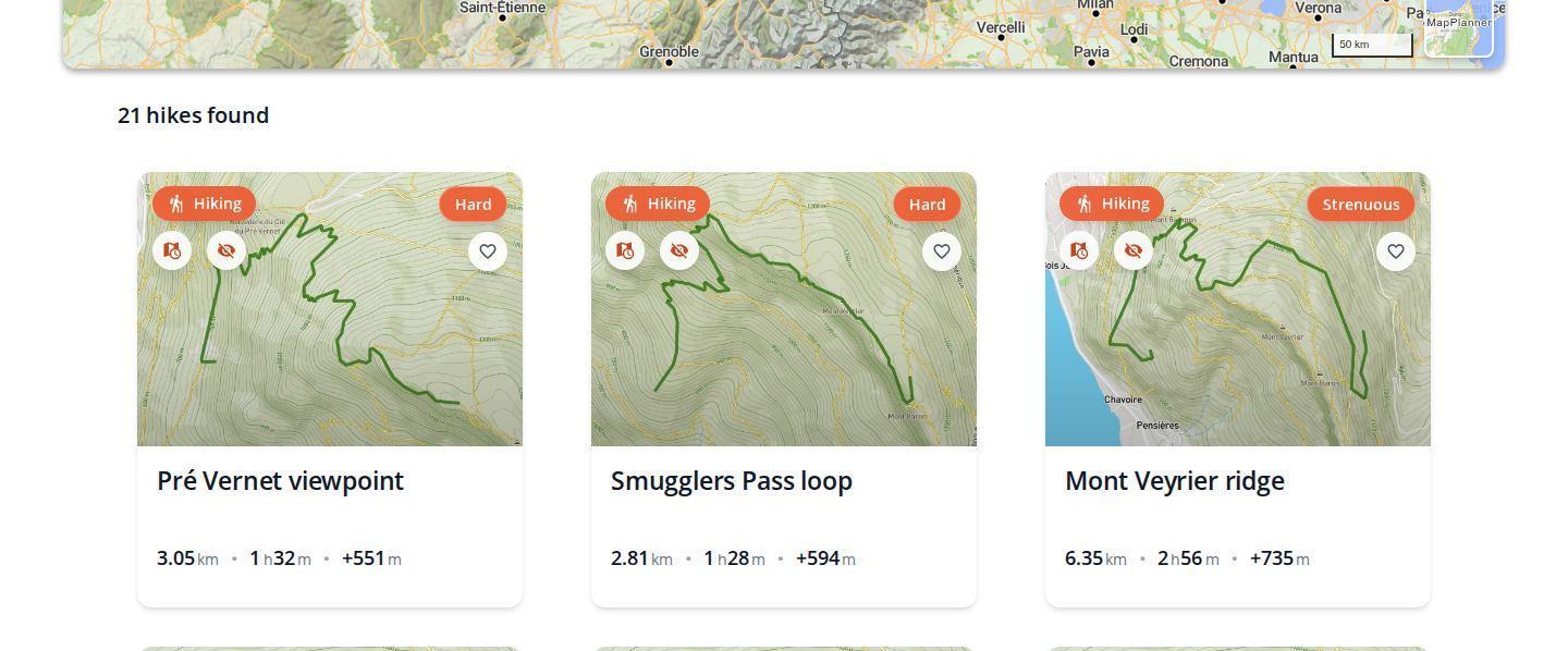
Save a route right after drawing it
Saving happens without leaving the map. Once your route is drawn in the planner, the save button sits below the map. A short form opens:
- give the route a name and check the activity;
- choose its visibility, public or private;
- if you like, add a description, tags, a difficulty level or photos; you can also flag it as an upcoming outing;
- confirm: the route is saved.
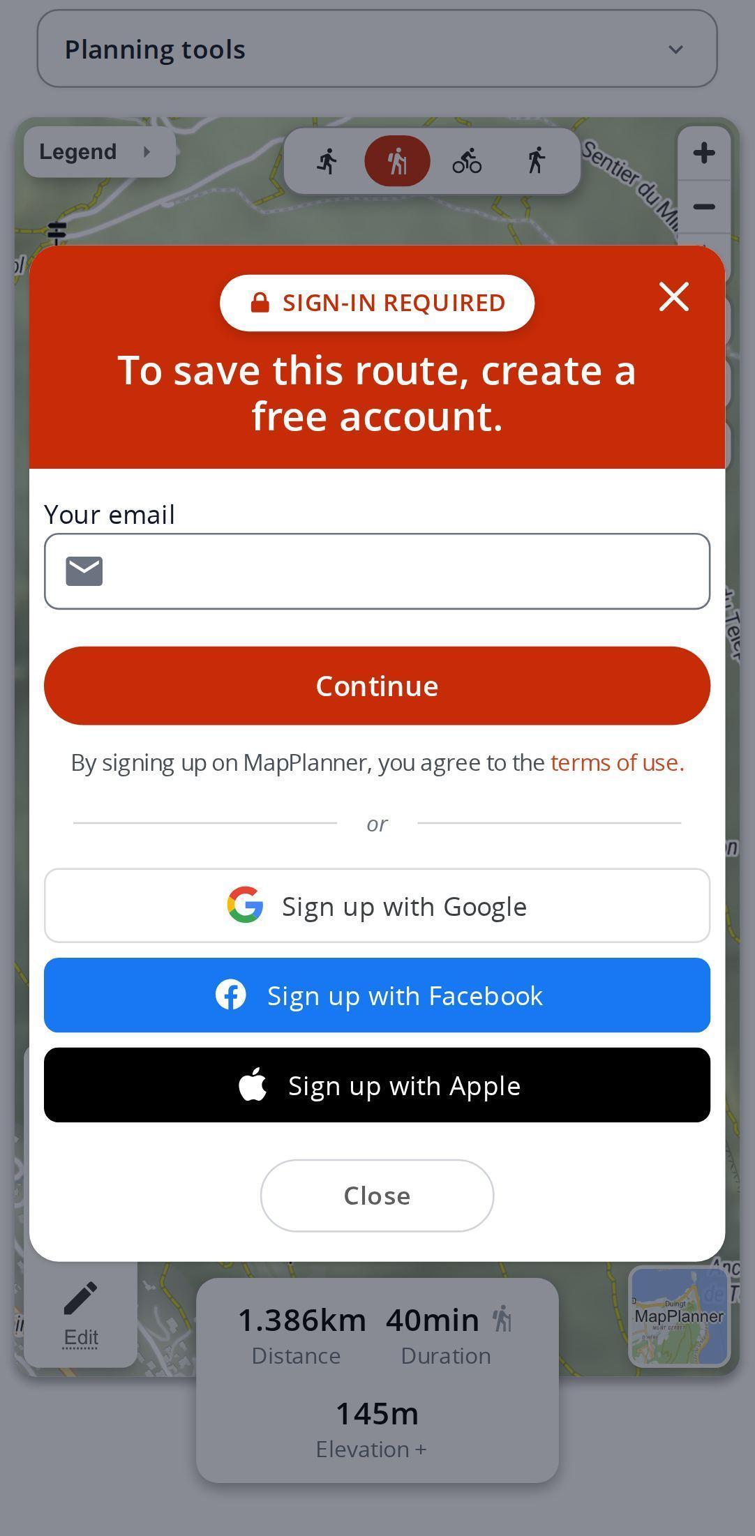
No account yet? One is created as you save, from nothing more than your email address. The route is stored straight away, with no page reload and no lost drawing. Google, Facebook and Apple work too; if the address already has an account, your password is all it takes.
Plan your own route
MapPlanner helps you calculate distances, elevation, duration and plan your hikes, runs and bike rides on an interactive map.
- Automatic distance & elevation calculation
- Topographic, satellite maps
- GPX/KML export for your GPS
- Real-time GPS tracking
Find your saved routes
Once signed in, open My activities at the top of the page. Your routes are sorted into three lists: the ones you are preparing, the ones you have completed and the ones you have shared. Routes by other members that inspire you are kept separately in your favorites.
From a route's page you can fix the line, rename it, change its visibility or delete it whenever you like. A planned outing can be marked as completed once it is done. If your watch recorded it, the real track can even replace the planned line. To put a date on your next hike, see how to schedule your outings.
Public or private, your call
A private route is visible only to you and to the people you send its share link to. A public route can be discovered by other MapPlanner users. From the planner, visibility is private by default: nothing is published without your say. You can change your mind at any time by editing the route.
Tips for a tidy route library
- A name that says it all: place, type of loop, length. "Lake circuit via the ridge, 14 km" is much quicker to find than "Hike 3".
- Variants side by side: save the short and the long version of the same hike, then decide the night before depending on the weather.
- Tags to group your training loops, family outings or vacation ideas.
- Mark outings as completed so your list of planned routes stays short and easy to read.
- Keep private the walks around your home and make public the route you would like others to discover.
Free saving and the Explorer plan
Saving a route needs a free account, set up in seconds with your email. That account lets you save a limited number of routes; the total duration of a planned route is also capped, breaks included. The Explorer plan makes route creation unlimited and raises that duration cap considerably.
Your next route deserves better than an open browser tab: draw it in the planner and save it to your account.
Saving routes: your questions
Do I need an account to save a route?
Yes, a free one. It is created right when you save, with just your email address; the route is stored immediately without losing your drawing.
How many routes can I save for free?
A free account lets you save a limited number of routes. With the Explorer plan, route creation is unlimited.
Can everyone see my routes?
Only if you choose to. A private route is visible only to you and to the people you send its share link to; from the planner, it is the default visibility.
Can I find my routes on my phone?
Yes. Sign in to MapPlanner in your smartphone's browser and open My activities: your saved routes are there.


