Where to run in United States
124
Routes
9.2 km
Avg distance
10:24/mi
Avg pace
United States gathers community routes for Running. Explore them on the map, get inspired, or create your own in one click.
Explore running routes, hiking trails and bike rides across United States
Explore all routes by zooming on the map or browse the list of runs, hikes and bike rides below.
Popular routes in United States


Benger09
Running
Hard
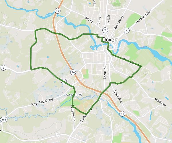
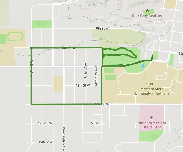
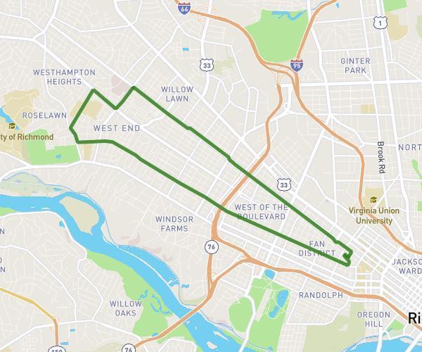
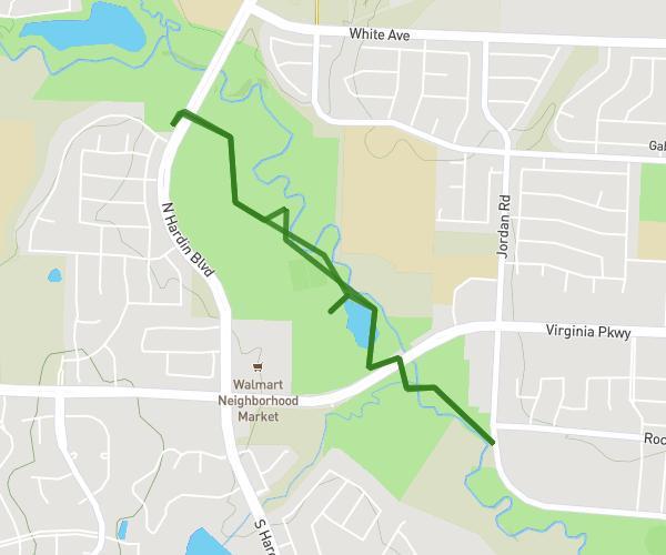
10 mi loop, Burnsville Boardwalk and 42
10.135mi
•
1h23m
•
7.27mph
Minnesota - Savage


Jane Blum
Running
Easy
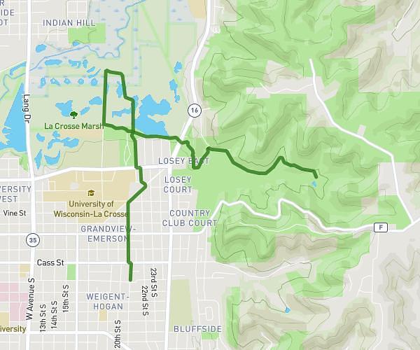
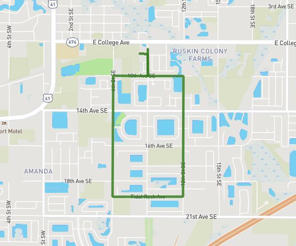
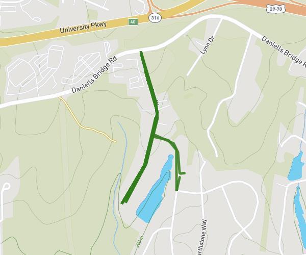
3 mile Around Bonnie Wenk Park Lacrosse Field 2
2.995mi
•
23m57s
•
7.51mph
Texas - McKinney
Chris Marte
Running
Easy
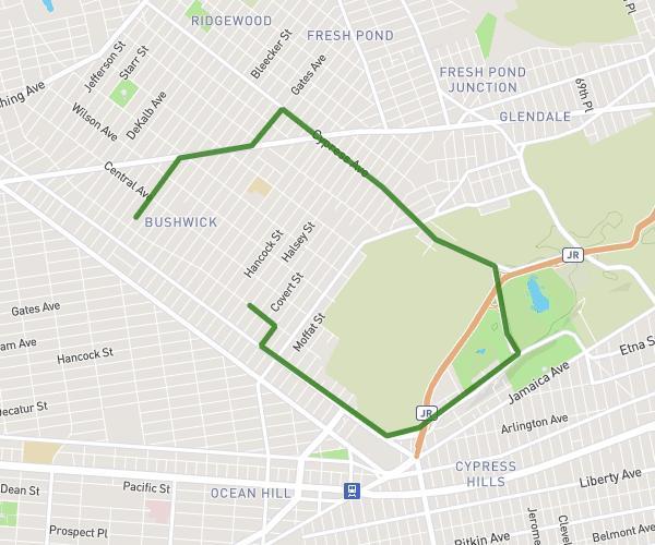
From 1172 Greene Avenue to Citi Bike - Halsey St & Evergreen Ave
4.42mi
•
1h47m
•
2.48mph
New York - New York

Ellen Sullivan
Running
Easy
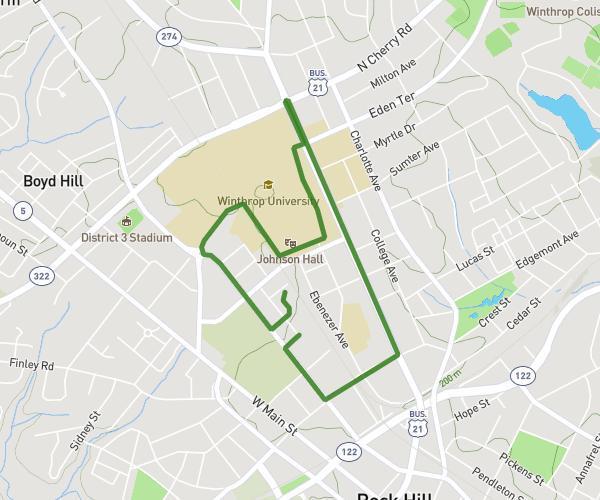
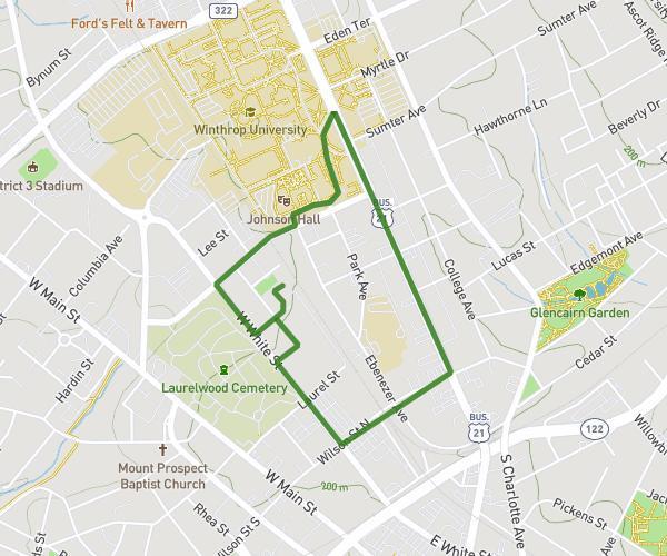
2 MILE WALK DISORDERLY CONDUCT
2.006mi
•
22m
•
5.47mph
South Carolina - Rock Hill
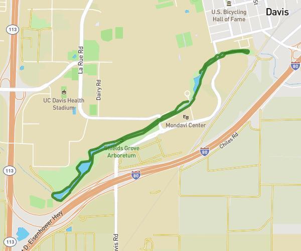
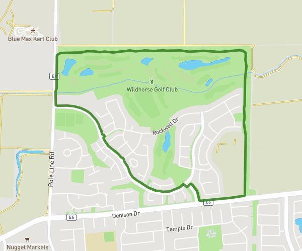


.jpg)
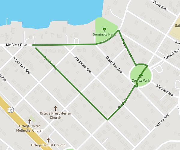
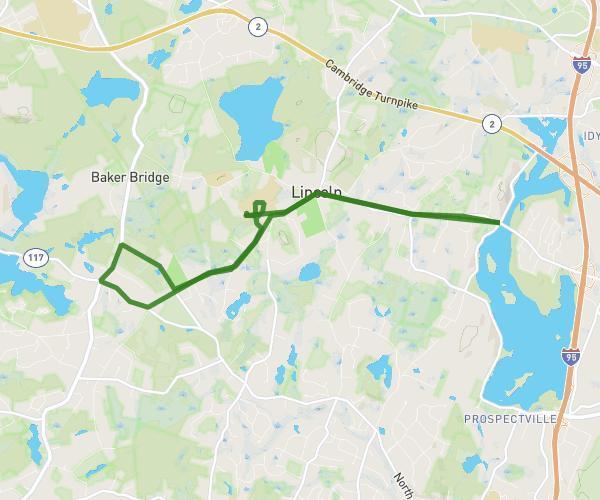
TeamMT
Running
Hard
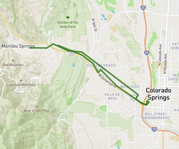
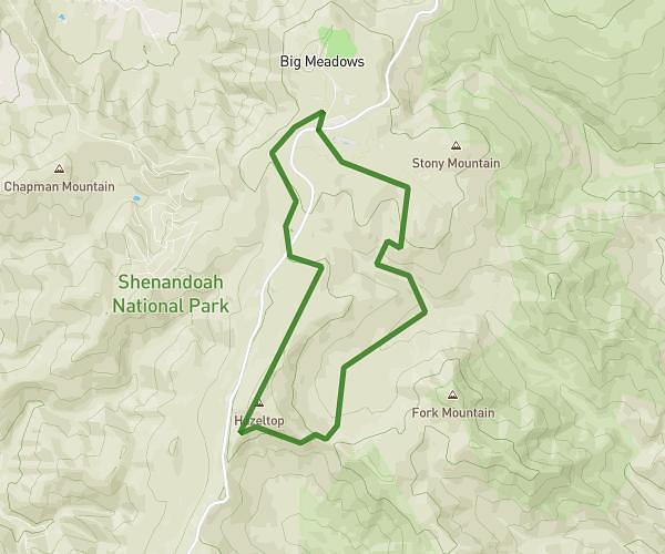
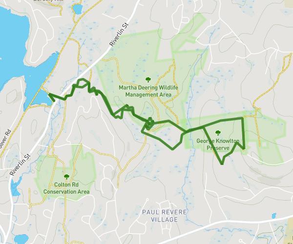
Around People For Pollinators
8.975mi
•
1h36m
•
5.61mph
Massachusetts - Lincoln

.jpg)
Jane Blum
Running
Easy
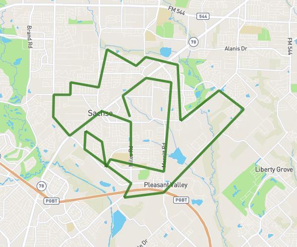
2 miles Around Bonnie Wenk Park Lacrosse Field 2
2.066mi
•
22m
•
5.64mph
Texas - McKinney


kennyfarrow
Running
Easy
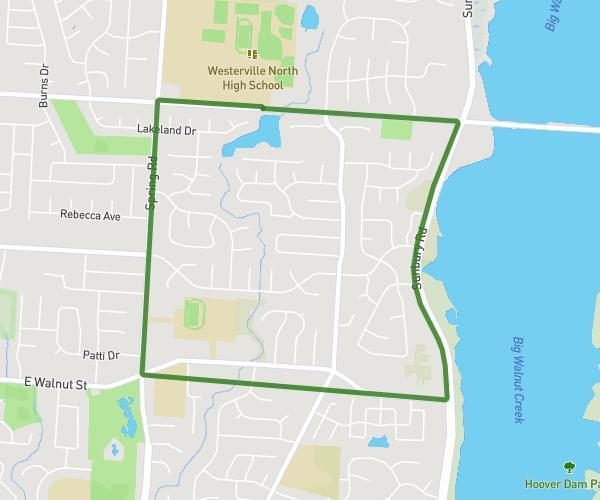
WN Girls Wrestling Run September19, 2026
3.638mi
•
39m
•
5.6mph
Ohio - Westerville



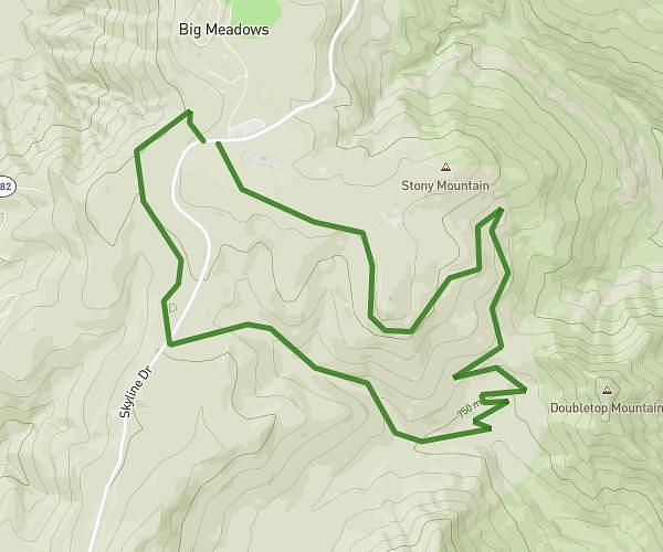
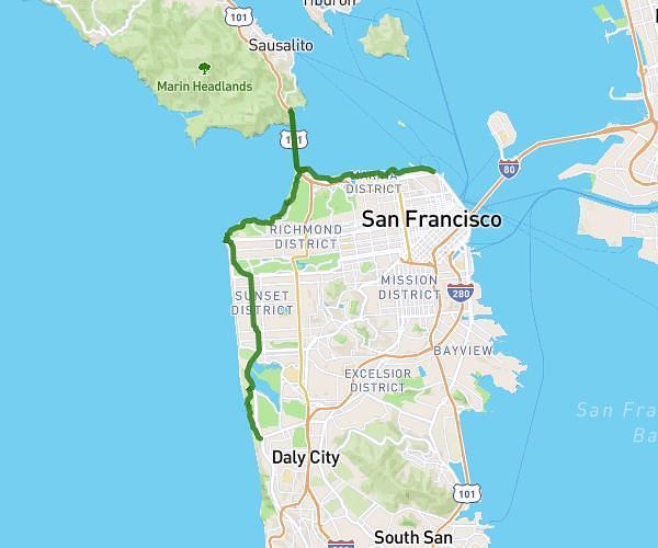

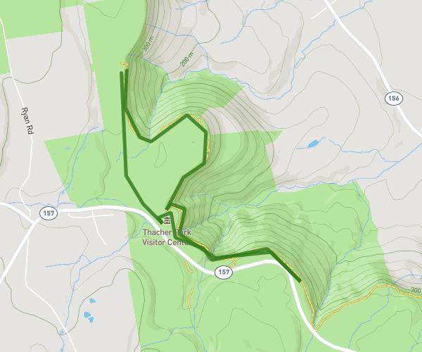


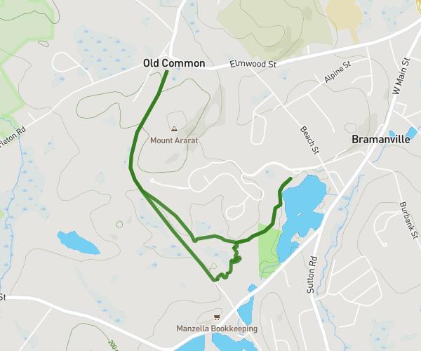


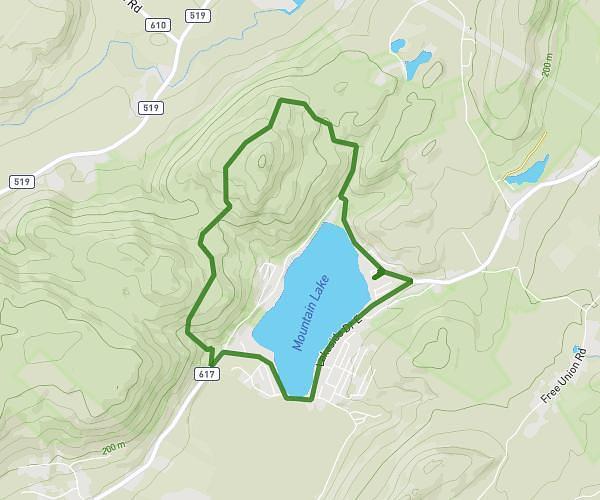
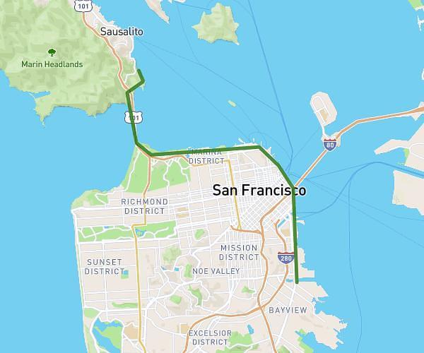
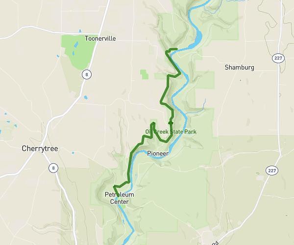
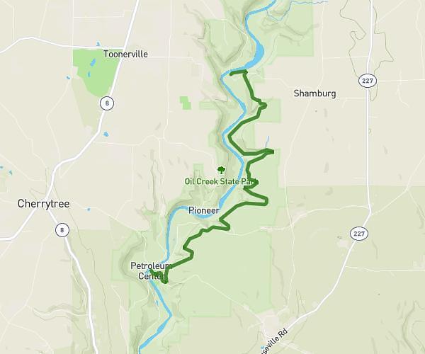
.jpg)





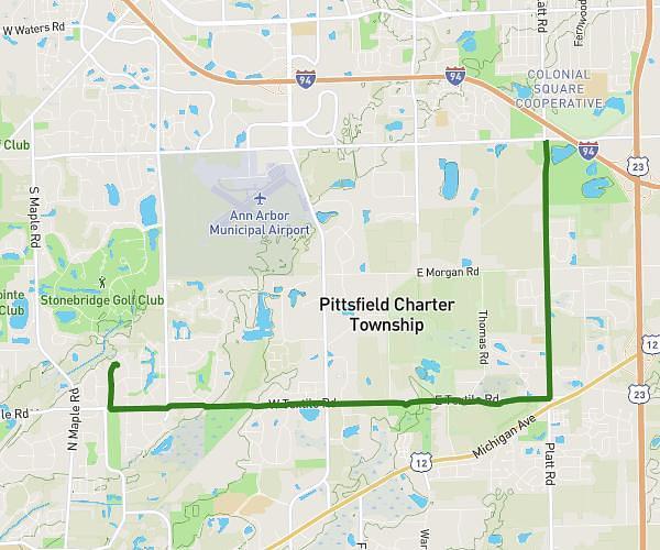


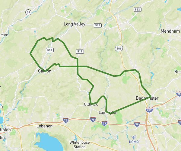


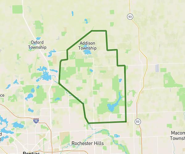


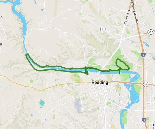


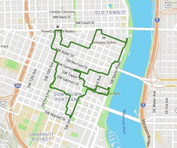


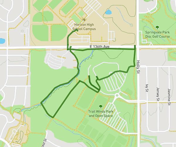

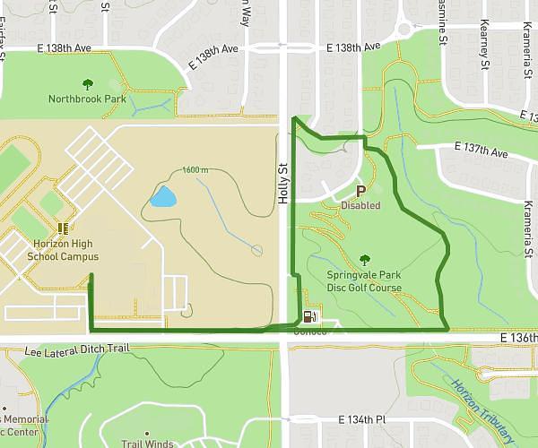


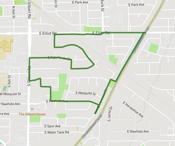






Plan your own route in United States
The map is centred on the area — draw your route, get distance and elevation, export as GPX. Free.
Open the route planner →Frequently asked questions
Where can I find routes in United States?
Browse 474 routes shared by the community in United States, shown on the map and filterable by activity, distance and difficulty — or draw your own in one click.
How do I create my own route in United States?
Click 'Create my route here': the planner opens so you can draw your route in United States and get distance, elevation, estimated time and GPX export, for free.
Can I export the routes as GPX?
Yes — every route in United States can be exported as GPX (and TCX/KML) for your watch or GPS, and you can start from an existing route to build your own.