France: Running Routes, Hiking Trails and Bike Rides
6410
Routes
12.5 km
Avg distance
10:34/mi
Avg pace
France gathers community routes for Running, Hiking, Walk and Bike. Explore them on the map, get inspired, or create your own in one click.

The "little lake" of Annecy

Castle of Héré

Entrevernes Mountain from the Glières

View on the Tournette from Duingt

View on Annecy at sunset

View of the lake from the Pâquier

Abbey of La Sauve-Majeure
Explore running routes, hiking trails and bike rides across France
Explore all routes by zooming on the map or browse the list of runs, hikes and bike rides below.
Popular routes in France














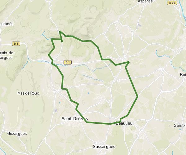
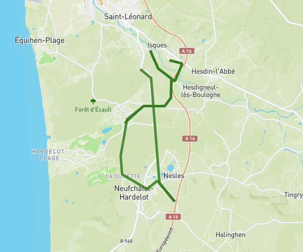

Sun Tzu 0027
Bike
Moderate
20250713 - Autour de Caorches Saint Nicolas
22.406mi
•
2h15m
•
9.96mph
Eure - Caorches-Saint-Nicolas


Martin Duterte
Bike
Easy
Centre Avril2026 Jeudi Petite Boucle
2.907mi
•
18m
•
9.69mph
Pas-de-Calais - Rety


Michel VIGUIER
Bike
Moderate
Phare à champ Cloppé
5.056mi
•
54m14s
•
5.59mph
Charente-Maritime - Saint-Clément-des-Baleines


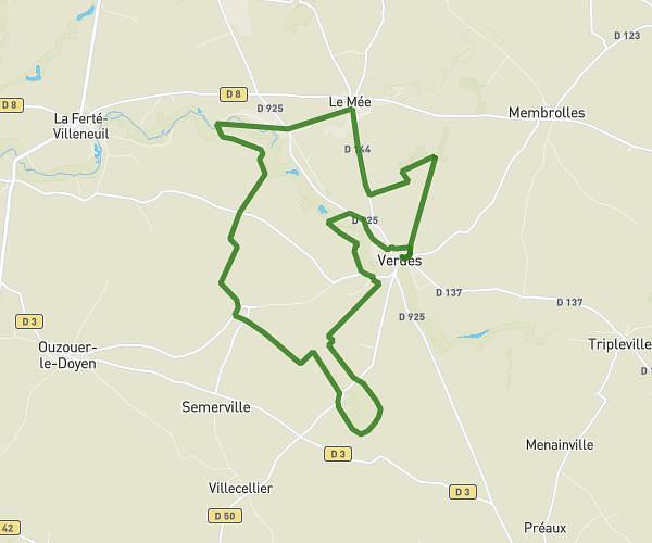
Rachou41
Bike
Moderate
27 km vtt Verdes Comité
15.857mi
•
1h
•
15.86mph
Loir-et-Cher - Beauce la Romaine


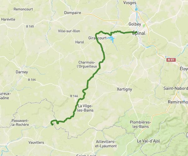

PRAYLUD'
Bike
Easy
PRAY-GOMBERGEAN-LANCE-PRAY
10.914mi
•
1h6m
•
9.92mph
Loir-et-Cher - Gombergean


Nono31
Bike
Easy
Boucle Lagardelle St Aman
10.816mi
•
1h13m
•
8.89mph
Haute-Garonne - Lagardelle-sur-Lèze
























Plan your own route in France
The map is centred on the area — draw your route, get distance and elevation, export as GPX. Free.
Open the route planner →Frequently asked questions
Where can I find routes in France?
Browse 6410 routes shared by the community in France, shown on the map and filterable by activity, distance and difficulty — or draw your own in one click.
How do I create my own route in France?
Click 'Create my route here': the planner opens so you can draw your route in France and get distance, elevation, estimated time and GPX export, for free.
Can I export the routes as GPX?
Yes — every route in France can be exported as GPX (and TCX/KML) for your watch or GPS, and you can start from an existing route to build your own.