Where to walk in France
742
Routes
7.7 km
Avg distance
20:03/mi
Avg pace
France gathers community routes for Walk. Explore them on the map, get inspired, or create your own in one click.

Fishermen's house

Montsegur from below

Footbridge past the weeping willow

View on the lake from the port of Doussard

Village of Montsegur

La reine des Près

Passage through the rose garden

Théâtre de verdure near the swimming pool

Beauvivier Tower dating from the 13th century

Access to the leisure park

The banks of the Seugne

Cul d'âne
Explore running routes, hiking trails and bike rides across France
Explore all routes by zooming on the map or browse the list of runs, hikes and bike rides below.
Popular routes in France






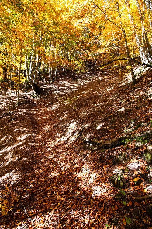


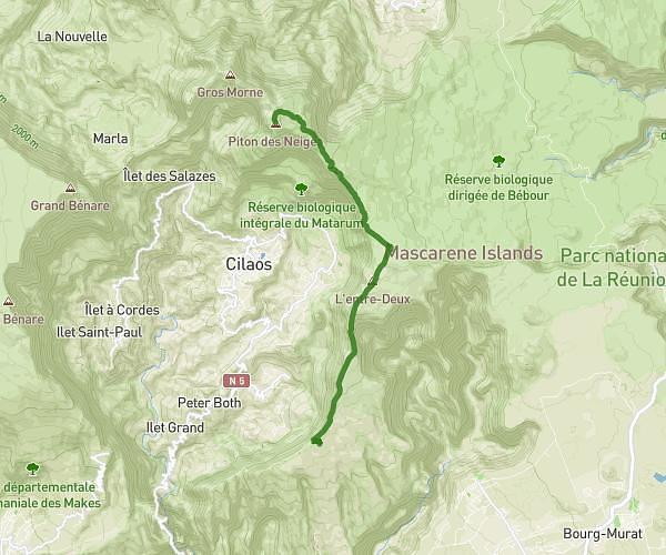


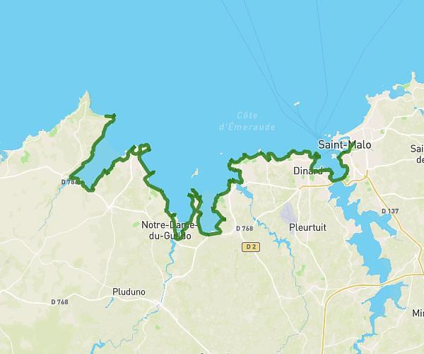


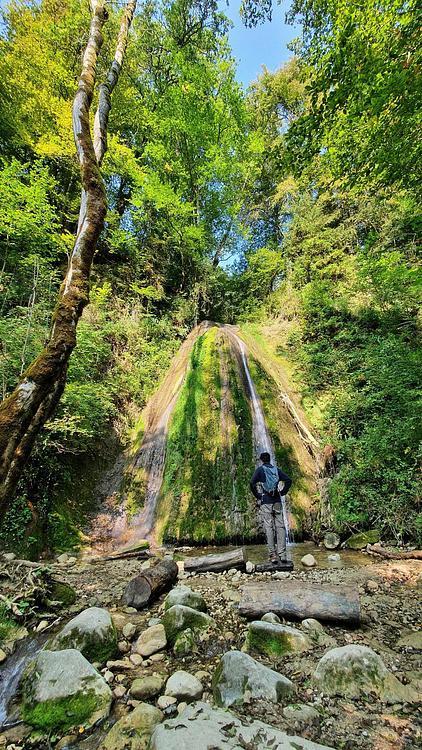





ANYV
Walk
Easy
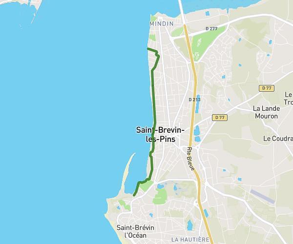
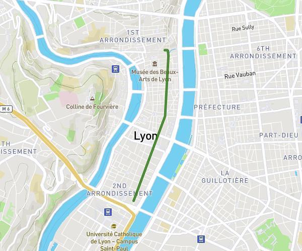
Av des Poilus . Allée de la Jeunesse
2.128mi
•
34m15s
Loire-Atlantique - Saint-Brevin-les-Pins


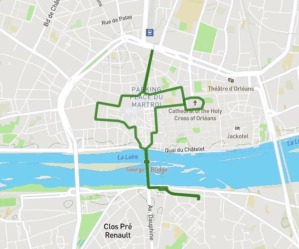


Meng-Sun
Walk
Easy
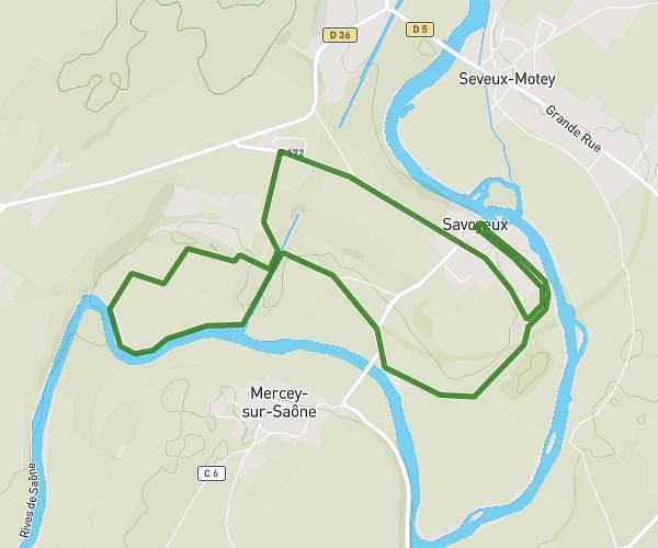
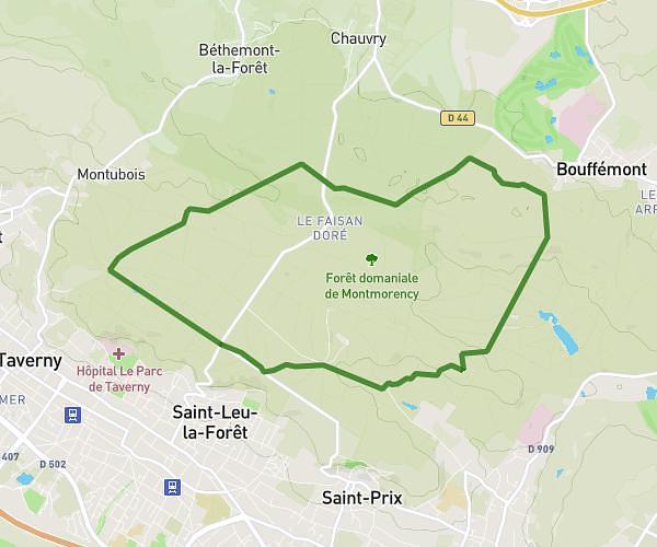
Projet Rallye Hameaux Jouars-Pontchartrain
4.012mi
•
1h26m
Yvelines - Jouars-Pontchartrain


Meng-Sun
Walk
Moderate
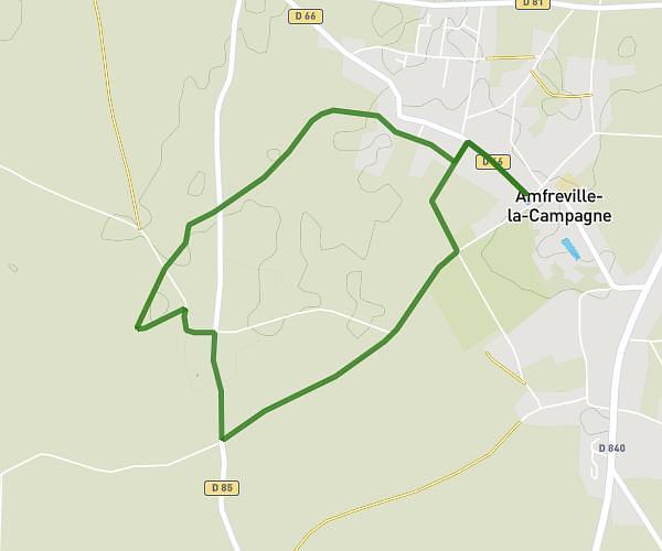
Rallye 3 hameaux Eglise Saint-Martin
4.615mi
•
1h39m
Yvelines - Jouars-Pontchartrain


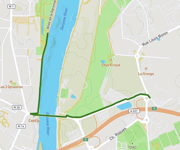

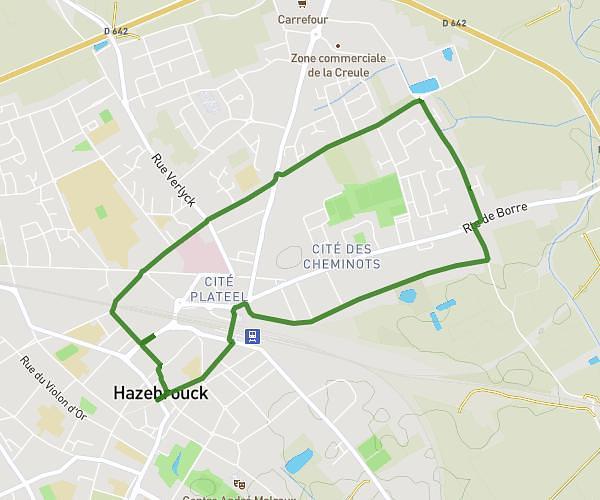


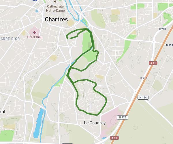
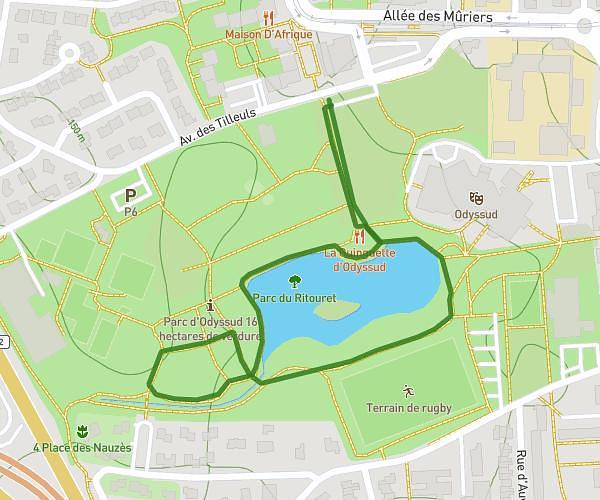


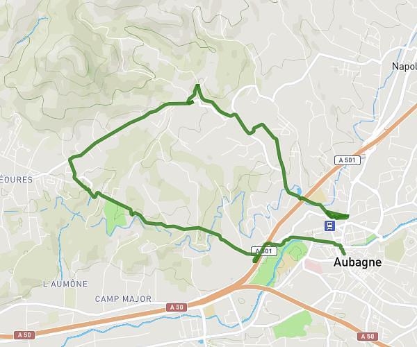
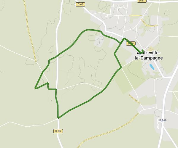


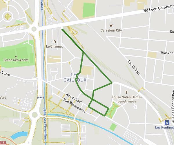

Sabrina JOLY
Walk
Easy
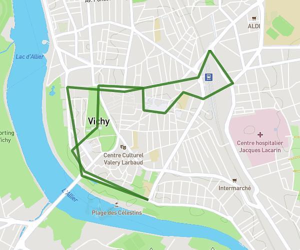
Journée de nettoyage collectif groupe local PPV BFC
1.848mi
•
40m
Côte-d’Or - Dijon


anouchka.mezeray
Walk
Easy
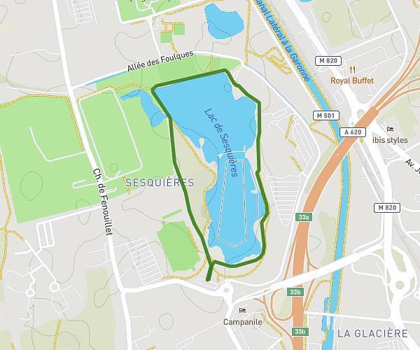
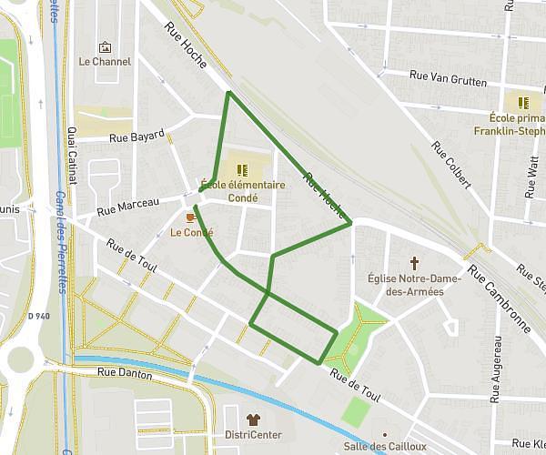
balade 3 - 30 mins - Lac de sesquières + pique-nique
1.163mi
•
27m
Haute-Garonne - Toulouse






Plan your own route in France
The map is centred on the area — draw your route, get distance and elevation, export as GPX. Free.
Open the route planner →Frequently asked questions
Where can I find routes in France?
Browse 742 routes shared by the community in France, shown on the map and filterable by activity, distance and difficulty — or draw your own in one click.
How do I create my own route in France?
Click 'Create my route here': the planner opens so you can draw your route in France and get distance, elevation, estimated time and GPX export, for free.
Can I export the routes as GPX?
Yes — every route in France can be exported as GPX (and TCX/KML) for your watch or GPS, and you can start from an existing route to build your own.